How to get to Amazon Locker-Helix by bus?
Click on the bus route to see step by step directions with maps, line arrival times and updated time schedules.
Bus stops near Amazon Locker-Helix in Middletown
Bus lines to Amazon Locker-Helix in Middletown
What are the closest stations to Amazon Locker-Helix?
The closest stations to Amazon Locker-Helix are:
- Wesleyan University is 167 yards away, 3 min walk.
- William & High Street is 564 yards away, 7 min walk.
Which bus line stops near Amazon Locker-Helix?
590 (Middletown/Meriden Connection)
What’s the nearest bus station to Amazon Locker-Helix in Middletown?
The nearest bus station to Amazon Locker-Helix in Middletown is Wesleyan University. It’s a 3 min walk away.
What time is the first bus to Amazon Locker-Helix in Middletown?
The 583 is the first bus that goes to Amazon Locker-Helix in Middletown. It stops nearby at 6:02 AM.
What time is the last bus to Amazon Locker-Helix in Middletown?
The 583 is the last bus that goes to Amazon Locker-Helix in Middletown. It stops nearby at 10:46 PM.
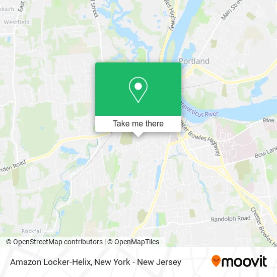
See Amazon Locker-Helix, Middletown, on the map
Public Transit to Amazon Locker-Helix in Middletown
Wondering how to get to Amazon Locker-Helix in Middletown? Moovit helps you find the best way to get to Amazon Locker-Helix with step-by-step directions from the nearest public transit station.
Moovit provides free maps and live directions to help you navigate through your city. View schedules, routes, timetables, and find out how long does it take to get to Amazon Locker-Helix in real time.
Looking for the nearest stop or station to Amazon Locker-Helix? Check out this list of stops closest to your destination: Wesleyan University; William & High Street.
Bus: 590, 583.
Want to see if there’s another route that gets you there at an earlier time? Moovit helps you find alternative routes or times. Get directions from and directions to Amazon Locker-Helix easily from the Moovit App or Website.
We make riding to Amazon Locker-Helix easy, which is why over 1.5 million users, including users in Middletown, trust Moovit as the best app for public transit. You don’t need to download an individual bus app or train app, Moovit is your all-in-one transit app that helps you find the best bus time or train time available.
For information on prices of bus and train, costs and ride fares to Amazon Locker-Helix, please check the Moovit app.
Use the app to navigate to popular places including to the airport, hospital, stadium, grocery store, mall, coffee shop, school, college, and university.
Amazon Locker-Helix Address: Middletown, CT 06457 street in Middletown
- West College (Wesco),
- Fauver Apartments,
- Navy Federal Credit Union,
- FLO,
- Wesleyan University Science Library,
- Pine Palace,
- Fountain Backyards,
- PI Cafe,
- Wesleyan University Archaeology and Anthropology Collections,
- Amazon Locker-Soti,
- FLO,
- Choco Dip Palace,
- Pizzuto Mario Builders,
- 200 Church Street,
- City of Middletown for Other Purposes,
- Middletown Fire Station 2,
- Middletown Police Dispatch,
- Crowell Concert Hall at Wesleyan University,
- Wesleyan Upward Bound Math & Science - Ubms,
- Bacon Field House
Places Near Amazon Locker-Helix (Middletown)
- San Gennaro Feast, Manhattan,
- Queens Center Mall, Queens,
- 66 John Street, Manhattan,
- Chinatown, Manhattan,
- SoHo, Manhattan,
- 26 Federal Plaza, Manhattan,
- 911 Memorial, Manhattan,
- Pier 83, Manhattan,
- qqqq, Manhattan,
- 376 Hudson Street, Manhattan,
- Bellevue Hospital, Manhattan,
- Times Square, Manhattan,
- Mountainside Hospital, Glen Ridge,
- Hudson Yards, Manhattan,
- 1 Police Plaza, Manhattan,
- Wall Street, Manhattan,
- 3 Stone St, Manhattan,
- Rockefeller Center, Manhattan,
- 111 Centre New York City Supreme Court, Manhattan,
- Katz's Deli, Manhattan
How to get to popular places in New York - New Jersey with public transit
Get around Middletown by public transit!
Traveling around Middletown has never been so easy. See step by step directions as you travel to any attraction, street or major public transit station. View bus and train schedules, arrival times, service alerts and detailed routes on a map, so you know exactly how to get to anywhere in Middletown.
When traveling to any destination around Middletown use Moovit's Live Directions with Get Off Notifications to know exactly where and how far to walk, how long to wait for your line, and how many stops are left. Moovit will alert you when it's time to get off — no need to constantly re-check whether yours is the next stop.
Wondering how to use public transit in Middletown or how to pay for public transit in Middletown? Moovit public transit app can help you navigate your way with public transit easily, and at minimum cost. It includes public transit fees, ticket prices, and costs. Looking for a map of Middletown public transit lines? Moovit public transit app shows all public transit maps in Middletown with all Bus, Train, Subway, Light Rail, Ferry and Cable Car routes and stops on an interactive map.
New York - New Jersey has 6 transit type(s), including: Bus, Train, Subway, Light Rail, Ferry and Cable Car, operated by several transit agencies, including MTA Subway, Metro-North Railroad, LIRR, PATH, MTA New York City Transit - Express routes, MTA Bus, NJ Transit, NYC Ferry, NICE bus, Bee-Line Bus, NJ Transit Rail, Norwalk Transit District, Hartford Line, River Valley Transit and HART