How to get to Amazon Locker - Tore by bus?
Click on the bus route to see step by step directions with maps, line arrival times and updated time schedules.
Bus stops near Amazon Locker - Tore in Hartford
Bus lines to Amazon Locker - Tore in Hartford
What are the closest stations to Amazon Locker - Tore?
The closest stations to Amazon Locker - Tore are:
- New Britain Ave @ Grant St is 59 yards away, 1 min walk.
- Newington Ave @ Waterford St is 704 yards away, 9 min walk.
Which bus lines stop near Amazon Locker - Tore?
These bus lines stop near Amazon Locker - Tore: 101, 102, 128.
What’s the nearest bus station to Amazon Locker - Tore in Hartford?
The nearest bus station to Amazon Locker - Tore in Hartford is New Britain Ave @ Grant St. It’s a 1 min walk away.
What time is the first bus to Amazon Locker - Tore in Hartford?
The 39 is the first bus that goes to Amazon Locker - Tore in Hartford. It stops nearby at 5:04 AM.
What time is the last bus to Amazon Locker - Tore in Hartford?
The 153 is the last bus that goes to Amazon Locker - Tore in Hartford. It stops nearby at 12:33 AM.
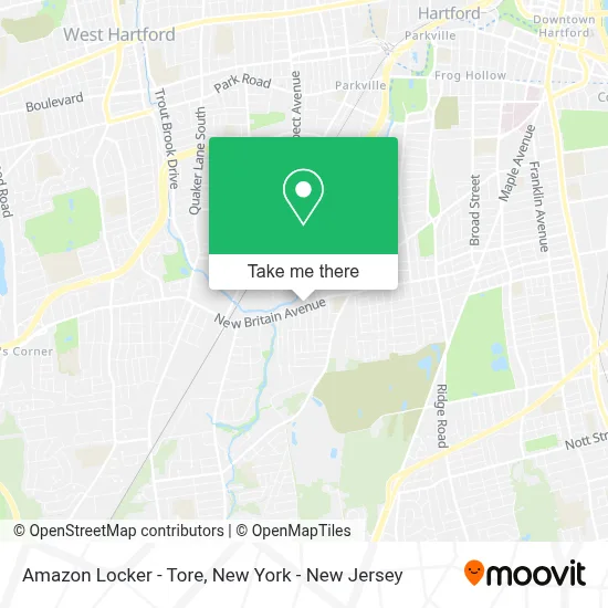
See Amazon Locker - Tore, Hartford, on the map
Public Transit to Amazon Locker - Tore in Hartford
Wondering how to get to Amazon Locker - Tore in Hartford? Moovit helps you find the best way to get to Amazon Locker - Tore with step-by-step directions from the nearest public transit station.
Moovit provides free maps and live directions to help you navigate through your city. View schedules, routes, timetables, and find out how long does it take to get to Amazon Locker - Tore in real time.
Looking for the nearest stop or station to Amazon Locker - Tore? Check out this list of stops closest to your destination: New Britain Ave @ Grant St; Newington Ave @ Waterford St.
Bus: 101, 102, 128, 39, 153, 63.
Want to see if there’s another route that gets you there at an earlier time? Moovit helps you find alternative routes or times. Get directions from and directions to Amazon Locker - Tore easily from the Moovit App or Website.
We make riding to Amazon Locker - Tore easy, which is why over 1.5 million users, including users in Hartford, trust Moovit as the best app for public transit. You don’t need to download an individual bus app or train app, Moovit is your all-in-one transit app that helps you find the best bus time or train time available.
For information on prices of bus and train, costs and ride fares to Amazon Locker - Tore, please check the Moovit app.
Use the app to navigate to popular places including to the airport, hospital, stadium, grocery store, mall, coffee shop, school, college, and university.
Amazon Locker - Tore Address: Sam's Food Stores, 888 New Britain Avenue street in Hartford
- Bitstop Bitcoin Atm,
- Citgo,
- Mercury Mini-Mart,
- Liberty Tax,
- Connecticut State Check Cashin,
- Southwest Church Of Christ,
- Hair We Goes,
- Hartford Phones,
- Rise and Shine Nursery and Pre-K Academy,
- Shredtronics,
- Glamour & Fragrances Wholesale,
- Taste Of China,
- Sortilegio Beauty Salon,
- Trakim Corp Automotive,
- Rpe Machine Llc,
- Fiambrera Criolla Restaurant,
- Moda Y Calzado,
- Fusion Health Juice Bar Llc,
- Rpe Machine,
- Divina Beauty Salon
Places Near Amazon Locker - Tore (Hartford)
- Mountainside Hospital, Glen Ridge,
- 911 Memorial, Manhattan,
- qqqq, Manhattan,
- 376 Hudson Street, Manhattan,
- Wall Street, Manhattan,
- San Gennaro Feast, Manhattan,
- Pier 83, Manhattan,
- 111 Centre New York City Supreme Court, Manhattan,
- 1 Police Plaza, Manhattan,
- 66 John Street, Manhattan,
- Chinatown, Manhattan,
- Katz's Deli, Manhattan,
- Rockefeller Center, Manhattan,
- 26 Federal Plaza, Manhattan,
- Bellevue Hospital, Manhattan,
- SoHo, Manhattan,
- 3 Stone St, Manhattan,
- Times Square, Manhattan,
- Queens Center Mall, Queens,
- Hudson Yards, Manhattan
How to get to popular places in New York - New Jersey with public transit
Get around Hartford by public transit!
Traveling around Hartford has never been so easy. See step by step directions as you travel to any attraction, street or major public transit station. View bus and train schedules, arrival times, service alerts and detailed routes on a map, so you know exactly how to get to anywhere in Hartford.
When traveling to any destination around Hartford use Moovit's Live Directions with Get Off Notifications to know exactly where and how far to walk, how long to wait for your line, and how many stops are left. Moovit will alert you when it's time to get off — no need to constantly re-check whether yours is the next stop.
Wondering how to use public transit in Hartford or how to pay for public transit in Hartford? Moovit public transit app can help you navigate your way with public transit easily, and at minimum cost. It includes public transit fees, ticket prices, and costs. Looking for a map of Hartford public transit lines? Moovit public transit app shows all public transit maps in Hartford with all Bus, Train, Subway, Light Rail, Ferry and Cable Car routes and stops on an interactive map.
New York - New Jersey has 6 transit type(s), including: Bus, Train, Subway, Light Rail, Ferry and Cable Car, operated by several transit agencies, including MTA Subway, Metro-North Railroad, LIRR, PATH, MTA New York City Transit - Express routes, MTA Bus, NJ Transit, NYC Ferry, NICE bus, Bee-Line Bus, NJ Transit Rail, Norwalk Transit District, Hartford Line, River Valley Transit and HART