Directions to Amherst Storage (Amherst County) with public transportation
The following transit lines have routes that pass near Amherst Storage
 Bus: VIRGINIA BREEZE.
How to get to Amherst Storage by bus?
Click on the bus route to see step by step directions with maps, line arrival times and updated time schedules.
From Centreville, VA, Fairfax County
327 minFrom Wegmans, Prince William County
358 minFrom Walmart Supercenter, Fairfax County
351 minFrom I-95 Exit 158: Prince William Pkwy, Prince William County
330 minFrom The Cheesecake Factory, Fairfax County
328 minFrom Dumfries, VA, Prince William County
395 minFrom IKEA, Prince William County
346 min
Which bus line stops near Amherst Storage?
VIRGINIA BREEZE
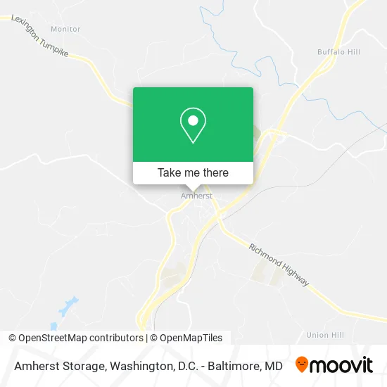
See Amherst Storage, Amherst County, on the map
Public Transit to Amherst Storage in Amherst County
Wondering how to get to Amherst Storage in Amherst County? Moovit helps you find the best way to get to Amherst Storage with step-by-step directions from the nearest public transit station.
Moovit provides free maps and live directions to help you navigate through your city. View schedules, routes, timetables, and find out how long does it take to get to Amherst Storage in real time.
Bus: VIRGINIA BREEZE.
Want to see if there’s another route that gets you there at an earlier time? Moovit helps you find alternative routes or times. Get directions from and directions to Amherst Storage easily from the Moovit App or Website.
We make riding to Amherst Storage easy, which is why over 1.5 million users, including users in Amherst County, trust Moovit as the best app for public transit. You don’t need to download an individual bus app or train app, Moovit is your all-in-one transit app that helps you find the best bus time or train time available.
For information on prices of bus, metro and train, costs and ride fares to Amherst Storage, please check the Moovit app.
Use the app to navigate to popular places including to the airport, hospital, stadium, grocery store, mall, coffee shop, school, college, and university.
Amherst Storage Address: 186 S Main St Amherst, VA 24521 street in Amherst County
- Municipal Office,
- Ruffles, Lace & Grace Boutique,
- Carbon Catering,
- Bonfire Burgers & Bourbon,
- Spring Garden Gifts,
- Central Virginia Family Dentistry,
- Episcopal Thrift Shop,
- Yard Solutions,
- EZ Towing,
- Hill House Interiors,
- The Vintage Loft,
- Habitat for Humanity,
- Montague Miller & Company Realtors,
- England To Nelson County Virginia,
- Amherst Police Department,
- Amherst Town Police And Town Offices,
- Lou's Antique Mall II,
- Travelers Fine Food & Drink,
- Fisher Auto Parts,
- Four Seasons Farm Market
Places Near Amherst Storage (Amherst County)
- National Zoo, Washington,
- Capital One Arena, Washington,
- The Anthem, Washington,
- Basilica of the National Shrine, Washington,
- Rock Creek Tennis Center, Washington,
- Warner Theatre, Washington,
- Westfield Montgomery Mall, Montgomery County,
- Washington DC VA Medical Center, Washington,
- Camden Yards, Baltimore,
- Georgetown, Washington,
- National Museum of African American History and Culture, Washington,
- PG Mall, Prince George's County,
- Pennsylvania Ave NW (3rd st and pennsylvania), Washington,
- National Mall, Washington,
- Marriott Marquis Washington, DC, Washington,
- Washington National Cathedral, Washington,
- Amazon Hq2, Arlington County,
- Sibley Memorial Hospital, Washington,
- M&T Bank Stadium, Baltimore,
- Museum Of The Bible, Washington
How to get to popular places in Washington, D.C. - Baltimore, MD with public transit
Get around Amherst County by public transit!
Traveling around Amherst County has never been so easy. See step by step directions as you travel to any attraction, street or major public transit station. View bus and train schedules, arrival times, service alerts and detailed routes on a map, so you know exactly how to get to anywhere in Amherst County.
When traveling to any destination around Amherst County use Moovit's Live Directions with Get Off Notifications to know exactly where and how far to walk, how long to wait for your line, and how many stops are left. Moovit will alert you when it's time to get off — no need to constantly re-check whether yours is the next stop.
Wondering how to use public transit in Amherst County or how to pay for public transit in Amherst County? Moovit public transit app can help you navigate your way with public transit easily, and at minimum cost. It includes public transit fees, ticket prices, and costs. Looking for a map of Amherst County public transit lines? Moovit public transit app shows all public transit maps in Amherst County with all Bus, Train, Metro, Light Rail and Ferry routes and stops on an interactive map.
Washington, D.C. - Baltimore, MD has 5 transit type(s), including: Bus, Train, Metro, Light Rail and Ferry, operated by several transit agencies, including WMATA, Montgomery County Ride On, Fairfax Connector, TheBus, PRTC, DASH - Alexandria, Arlington Transit (ART), RTA of Central Maryland, MDOT MTA, MDOT MTA Light RailLink, MDOT MTA Commuter Bus, MDOT MTA Local Bus, FXBGO!, Virginia Railway Express (VRE) and MARC