Anaheim & Chestnut SW stop - Wednesday schedule
| Line | Direction | Time |
|---|---|---|
| 41 | 41 Easy-Anaheim to CSULB | 5:34 AM |
| 41 | 41 Easy-Anaheim to CSULB | 6:12 AM |
| 41 | 41 Easy-Anaheim to CSULB | 6:39 AM |
| 41 | 41 Easy-Anaheim to CSULB | 7:03 AM |
| 41 | 41 Easy-Anaheim to CSULB | 7:27 AM |
| 41 | 41 Easy-Anaheim to CSULB | 7:49 AM |
| 41 | 41 Easy-Anaheim to CSULB | 8:09 AM |
| 41 | 41 Easy-Anaheim to CSULB | 8:29 AM |
| 41 | 41 Easy-Anaheim to CSULB | 8:57 AM |
| 41 | 41 Easy-Anaheim to CSULB | 9:21 AM |
| 41 | 41 Easy-Anaheim to CSULB | 9:45 AM |
| 41 | 41 Easy-Anaheim to CSULB | 10:09 AM |
| 41 | 41 Easy-Anaheim to CSULB | 10:33 AM |
| 41 | 41 Easy-Anaheim to CSULB | 10:57 AM |
| 41 | 41 Easy-Anaheim to CSULB | 11:21 AM |
| 41 | 41 Easy-Anaheim to CSULB | 11:45 AM |
| 41 | 41 Easy-Anaheim to CSULB | 12:09 PM |
| 41 | 41 Easy-Anaheim to CSULB | 12:33 PM |
| 41 | 41 Easy-Anaheim to CSULB | 12:57 PM |
| 41 | 41 Easy-Anaheim to CSULB | 1:17 PM |
| 41 | 41 Easy-Anaheim to CSULB | 1:37 PM |
| 41 | 41 Easy-Anaheim to CSULB | 1:57 PM |
| 41 | 41 Easy-Anaheim to CSULB | 2:17 PM |
| 41 | 41 Easy-Anaheim to CSULB | 2:36 PM |
| 41 | 41 Easy-Anaheim to CSULB | 2:56 PM |
Directions to Anaheim & Chestnut SW stop (Long Beach) with public transit
The following transit lines have routes that pass near Anaheim & Chestnut SW
 Bus: 172, 192, 232, 3, 41.
- Subway: A LINE.
How to get to Anaheim & Chestnut SW stop by bus?
Click on the bus route to see step by step directions with maps, line arrival times and updated time schedules.
Subway stations near Anaheim & Chestnut SW station in Long Beach
- Downtown Long Beach Station - 1st &Amp; Pine Entrance, 2 min walk,
Bus stops near Anaheim & Chestnut SW stop in Long Beach
- Anaheim & Pacific NE, 3 min walk,
- Anaheim / Pacific, 3 min walk,
- Pacific Av at Anaheim St, 3 min walk,
- Magnolia & Anaheim SW, 3 min walk,
Bus lines to Anaheim & Chestnut SW stop in Long Beach
- 41, 41 Easy-Anaheim to CSULB,
- 232, Downtown Long Beach,
- 3, Downtown Long Beach Station,
- R3, Mary K Giordano Regional Transit Center,
- 181, 181 Magnolia to Wardlow Station,
- 191, 191 Santa Fe to Downtown Long Beach,
- 192, 192 Santa Fe to Downtown Long Beach,
- 172, 172 Palo Verde to Downtown Long Beach,
- 173, 173 Studebaker to Norwalk Station,
- 174, 174 PCH to Downtown Long Beach,
- 182, 182 Pacific to Wardlow Station,
What are the closest stations to Anaheim & Chestnut SW?
The closest stations to Anaheim & Chestnut SW are:
- Downtown Long Beach Station - 1st &Amp; Pine Entrance is 122 yards away, 2 min walk.
- Anaheim & Pacific NE stop is 177 yards away, 3 min walk.
- Anaheim / Pacific stop is 197 yards away, 3 min walk.
- Pacific Av at Anaheim St stop is 242 yards away, 3 min walk.
- Magnolia & Anaheim SW stop is 246 yards away, 3 min walk.
Which bus lines stop near Anaheim & Chestnut SW?
These bus lines stop near Anaheim & Chestnut SW: 172, 192, 232, 3, 41, 51.
Which subway line stops near Anaheim & Chestnut SW?
A LINE (Southbound to Long Beach)
What’s the nearest subway station to Anaheim & Chestnut SW in Long Beach?
The nearest subway station to Anaheim & Chestnut SW in Long Beach is Downtown Long Beach Station - 1st &Amp; Pine Entrance. It’s a 2 min walk away.
What’s the nearest bus station to Anaheim & Chestnut SW in Long Beach?
The nearest bus stations to Anaheim & Chestnut SW in Long Beach are Anaheim & Pacific NE, Anaheim / Pacific, Pacific Av at Anaheim St and Magnolia & Anaheim SW. The closest one is a 3 min walk away.
What time is the first subway to Anaheim & Chestnut SW in Long Beach?
The A LINE is the first subway that goes to Anaheim & Chestnut SW in Long Beach. It stops nearby at 3:42 AM.
What time is the last subway to Anaheim & Chestnut SW in Long Beach?
The A LINE is the last subway that goes to Anaheim & Chestnut SW in Long Beach. It stops nearby at 1:42 AM.
What time is the first bus to Anaheim & Chestnut SW in Long Beach?
The 232 is the first bus that goes to Anaheim & Chestnut SW in Long Beach. It stops nearby at 3:45 AM.
What time is the last bus to Anaheim & Chestnut SW in Long Beach?
The 232 is the last bus that goes to Anaheim & Chestnut SW in Long Beach. It stops nearby at 1:00 AM.
Anaheim & Chestnut SW station
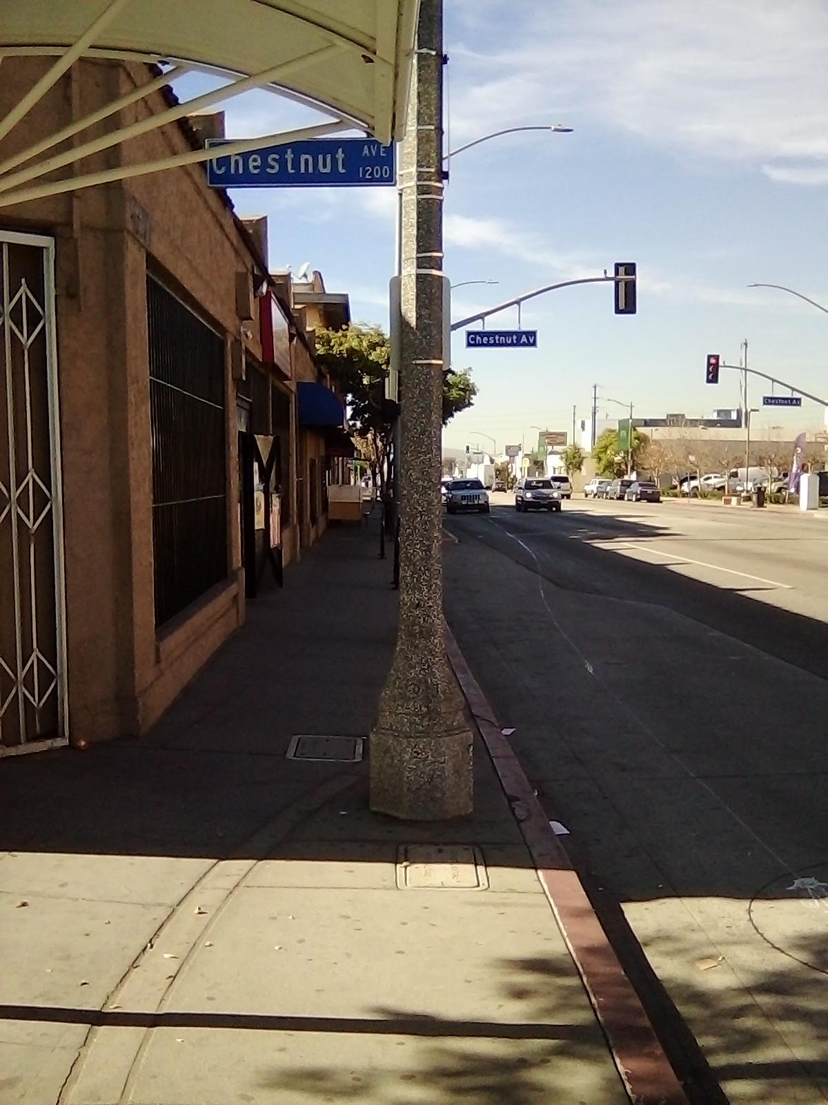 Taken by Lawrence J.
See Anaheim & Chestnut SW stop, Long Beach, on the map
Public transit to Anaheim & Chestnut SW stop (ID: 3054) in Long Beach
Looking for directions to Anaheim & Chestnut SW in Long Beach, United States?
Download the Moovit App to find the current schedule and step-by-step directions for Bus or Subway routes that pass through Anaheim & Chestnut SW.
Looking for the nearest stops closest to Anaheim & Chestnut SW ? Check out this list of closest stops to your destination: Downtown Long Beach Station - 1st &Amp; Pine Entrance; Anaheim & Pacific NE; Anaheim / Pacific; Pacific Av at Anaheim St; Magnolia & Anaheim SW.
Bus: 172, 192, 232, 3, 41, 51, 181, 191, R3, 173, 174, 182.Subway: A LINE.
We make riding on public transit to Anaheim & Chestnut SW easy, which is why over 1.7 billion users, including users in Long Beach trust Moovit as the best app for public transit.
Use the app to navigate to popular places including to the airport, hospital, stadium, grocery store, mall, coffee shop, school, college, and university.
Anaheim & Chestnut SW stop’s code is 3054
The first line to this stop is 41, at 5:34 AM, and the last line is 41 at 8:02 PM.
404 W Anaheim St, Long Beach, CA, USA
This stop serves Long Beach Transit’s lines
- Downtown Long Beach Station - 1st &Amp; Pine Entrance
Subway station near Anaheim & Chestnut SW station
- Anaheim & Pacific NE,
- Anaheim / Pacific,
- Pacific Av at Anaheim St,
- Magnolia & Anaheim SW
Bus stops near Anaheim & Chestnut SW stop
- Mulholland / Valmar,
- Grand Ave & 1st St,
- Alondra / Carmenita,
- Indiana St & Olympic Blvd,
- Santa Monica / Beverly,
- Tyler + Magnolia,
- Lake Ave & California Blvd,
- Goleta Amtrak,
- Valley Central Way & Lancaster Blvd.,
- Arroyo Pkwy & California Blvd,
- Jefferson Blvd/Mesmer Ave,
- Washington Blvd & Atlantic Blvd,
- Vanowen / White Oak,
- Century Blvd & Yukon Ave,
- Telegraph / Passons,
- Redondo Beach Station,
- Gaffey St & 1st St (Southbound),
- Pacific Coast Hwy Station,
- 7th St & Spring St,
- Whittier Blvd & Ferris Ave
Popular public transit stations in Long Beach
Get around Long Beach by public transit!
Traveling around Long Beach has never been so easy. See step by step directions as you travel to any attraction, street or major public transit station. View bus and train schedules, arrival times, service alerts and detailed routes on a map, so you know exactly how to get to anywhere in Long Beach.
When traveling to any destination around Long Beach use Moovit's Live Directions with Get Off Notifications to know exactly where and how far to walk, how long to wait for your line, and how many stops are left. Moovit will alert you when it's time to get off — no need to constantly re-check whether yours is the next stop.
Wondering how to use public transit in Long Beach or how to pay for public transit in Long Beach? Moovit public transit app can help you navigate your way with public transit easily, and at minimum cost. It includes public transit fees, ticket prices, and costs. Looking for a map of Long Beach public transit lines? Moovit public transit app shows all public transit maps in Long Beach with all Bus, Train, Subway, Ferry and Funicular routes and stops on an interactive map.
Los Angeles has 5 transit type(s), including: Bus, Train, Subway, Ferry and Funicular, operated by several transit agencies, including Metro, Metro Event Service, Alhambra Community Transit (ACT), Arcadia Transit, Artesia Transit, AVTA, Baldwin Park Transit, Beach Cities Transit, Beaumont Transit, Bell Gardens Town Trolley, Bellflower Bus, Big Blue Bus, Burbank Bus, Calabasas Trolley and Camarillo Area Transit