Anaheim & Termino SE stop - Monday schedule
| Line | Direction | Time |
|---|---|---|
| 46 | 46 Anaheim St to Anaheim at PCH | 5:15 AM |
| 41 | 41 Easy-Anaheim to CSULB | 5:48 AM |
| 46 | 46 Anaheim St to Anaheim at PCH | 6:11 AM |
| 41 | 41 Easy-Anaheim to CSULB | 6:26 AM |
| 46 | 46 Anaheim St to CSULB | 6:43 AM |
| 41 | 41 Easy-Anaheim to CSULB | 6:55 AM |
| 46 | 46 Anaheim St to CSULB | 7:07 AM |
| 41 | 41 Easy-Anaheim to CSULB | 7:19 AM |
| 46 | 46 Anaheim St to CSULB | 7:31 AM |
| 41 | 41 Easy-Anaheim to CSULB | 7:43 AM |
| 46 | 46 Anaheim St to CSULB | 7:55 AM |
| 41 | 41 Easy-Anaheim to CSULB | 8:05 AM |
| 46 | 46 Anaheim St to CSULB | 8:15 AM |
| 41 | 41 Easy-Anaheim to CSULB | 8:25 AM |
| 46 | 46 Anaheim St to CSULB | 8:35 AM |
| 41 | 41 Easy-Anaheim to CSULB | 8:45 AM |
| 46 | 46 Anaheim St to CSULB | 9:01 AM |
| 41 | 41 Easy-Anaheim to CSULB | 9:13 AM |
| 46 | 46 Anaheim St to CSULB | 9:25 AM |
| 41 | 41 Easy-Anaheim to CSULB | 9:37 AM |
| 41 | 41 Easy -Anaheim to PCH | 9:40 AM |
| 46 | 46 Anaheim St to CSULB | 9:49 AM |
| 41 | 41 Easy-Anaheim to CSULB | 10:01 AM |
| 46 | 46 Anaheim St to CSULB | 10:13 AM |
| 41 | 41 Easy -Anaheim to PCH | 10:18 AM |
Directions to Anaheim & Termino SE stop (Long Beach) with public transit
The following transit lines have routes that pass near Anaheim & Termino SE
 Bus: 112, 172, 173, 41, 46.
- Subway: A LINE.
How to get to Anaheim & Termino SE stop by bus?
Click on the bus route to see step by step directions with maps, line arrival times and updated time schedules.
Bus stops near Anaheim & Termino SE stop in Long Beach
- Anaheim & Termino NW, 1 min walk,
- Ximeno & Anaheim SW, 6 min walk,
Subway stations near Anaheim & Termino SE station in Long Beach
- 5th Street Station, 27 min walk,
Bus lines to Anaheim & Termino SE stop in Long Beach
- 41, 41 Easy-Anaheim to CSULB,
- 46, 46 Anaheim St to CSULB,
- 111, 111 Lkwd-Bdwy to Downtown Long Beach,
- 112, 112 Bdwy-Clark to South St via LBCC,
What are the closest stations to Anaheim & Termino SE?
The closest stations to Anaheim & Termino SE are:
- Anaheim & Termino NW stop is 49 yards away, 1 min walk.
- Ximeno & Anaheim SW stop is 444 yards away, 6 min walk.
- 5th Street Station is 2327 yards away, 27 min walk.
Which bus lines stop near Anaheim & Termino SE?
These bus lines stop near Anaheim & Termino SE: 112, 172, 173, 41, 46.
What’s the nearest subway station to Anaheim & Termino SE in Long Beach?
The nearest subway station to Anaheim & Termino SE in Long Beach is 5th Street Station. It’s a 27 min walk away.
What’s the nearest bus station to Anaheim & Termino SE in Long Beach?
The nearest bus station to Anaheim & Termino SE in Long Beach is Anaheim & Termino NW. It’s a 1 min walk away.
What time is the first subway to Anaheim & Termino SE in Long Beach?
The A LINE is the first subway that goes to Anaheim & Termino SE in Long Beach. It stops nearby at 3:42 AM.
What time is the last subway to Anaheim & Termino SE in Long Beach?
The A LINE is the last subway that goes to Anaheim & Termino SE in Long Beach. It stops nearby at 1:38 AM.
What time is the first bus to Anaheim & Termino SE in Long Beach?
The 46 is the first bus that goes to Anaheim & Termino SE in Long Beach. It stops nearby at 4:51 AM.
What time is the last bus to Anaheim & Termino SE in Long Beach?
The 46 is the last bus that goes to Anaheim & Termino SE in Long Beach. It stops nearby at 12:53 AM.
Anaheim & Termino SE station
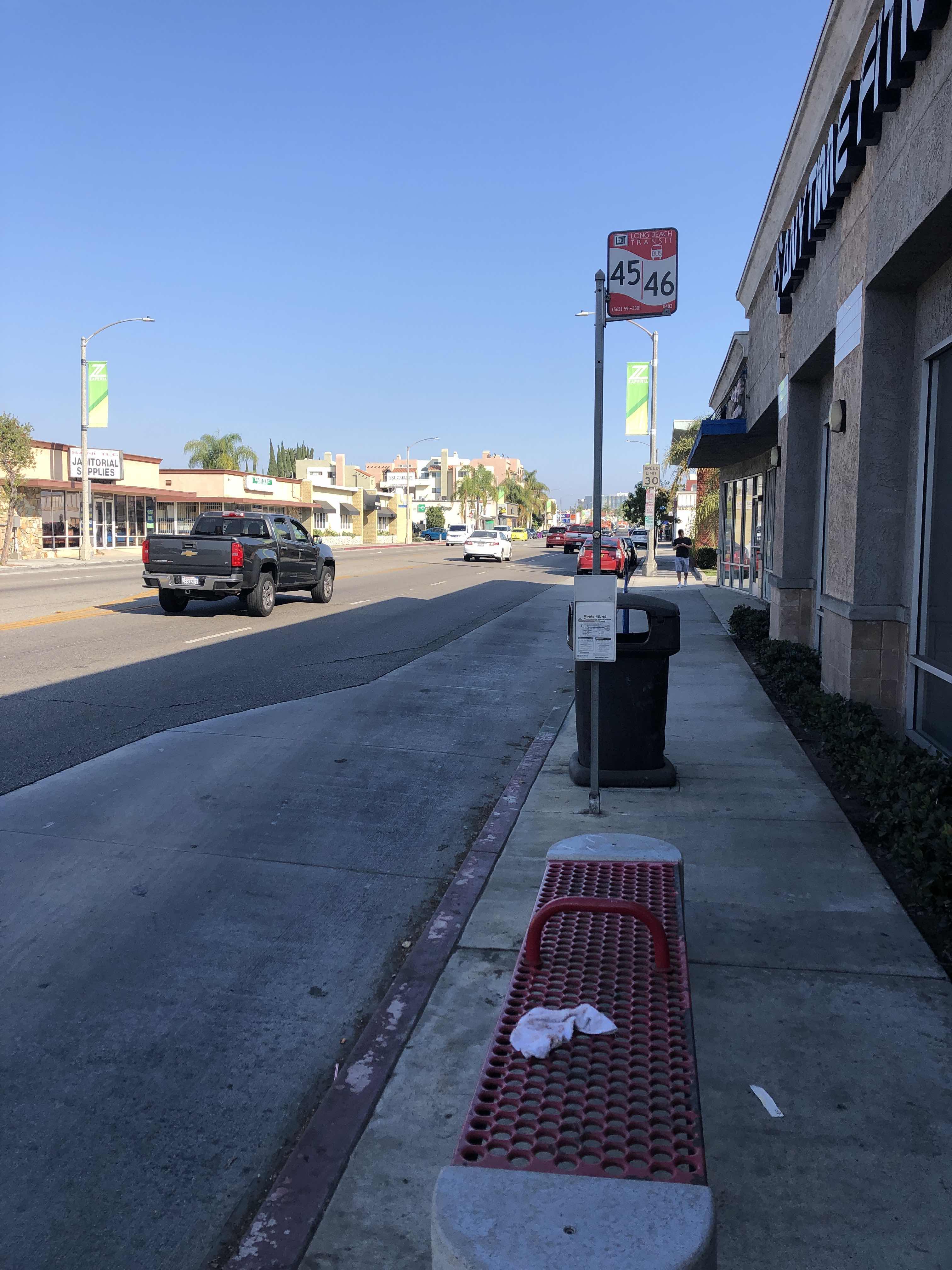 Taken by Anonymous
See Anaheim & Termino SE stop, Long Beach, on the map
Public transit to Anaheim & Termino SE stop (ID: 0483) in Long Beach
Looking for directions to Anaheim & Termino SE in Long Beach, United States?
Download the Moovit App to find the current schedule and step-by-step directions for Bus or Ferry routes that pass through Anaheim & Termino SE.
Looking for the nearest stops closest to Anaheim & Termino SE ? Check out this list of closest stops to your destination: Anaheim & Termino NW; Ximeno & Anaheim SW; 5th Street Station.
Bus: 112, 172, 173, 41, 46, 111.Subway: A LINE.
We make riding on public transit to Anaheim & Termino SE easy, which is why over 1.7 billion users, including users in Long Beach trust Moovit as the best app for public transit.
Use the app to navigate to popular places including to the airport, hospital, stadium, grocery store, mall, coffee shop, school, college, and university.
Anaheim & Termino SE stop’s code is 0483
The first line to this stop is 46, at 5:15 AM, and the last line is 46 at 12:52 AM.
4000 E Anaheim St, Long Beach, CA, USA
This stop serves Long Beach Transit’s lines
- Anaheim & Termino NW,
- Ximeno & Anaheim SW
Bus stops near Anaheim & Termino SE stop
- 5th Street Station
Subway station near Anaheim & Termino SE station
- Harbor Beacon Park and Ride,
- Nelson Ave & Orange Ave,
- Long Beach Blvd. at Anaheim St.,
- 60th St. W. & Ave. L,
- Harbor-Warner,
- Imperial / Broadway,
- 103rd Street / Watts Towers Station,
- Hawthorne / Lennox Station,
- Balboa Blvd. & Saticoy St.,
- Downey & Artesia SW,
- Firestone / Garfield,
- Pico / Vermont,
- Hazeltine Ave & Oxnard St Northbound,
- Civic Center / Grand Park Station,
- Broadway / Vernon,
- Wilshire Blvd & Glendon Ave (Eastbound),
- Chevy Chase at Central,
- Vernon & Kansas Ave.,
- Hollywood / Highland Station,
- Cudahy & California
Popular public transit stations in Long Beach
Get around Long Beach by public transit!
Traveling around Long Beach has never been so easy. See step by step directions as you travel to any attraction, street or major public transit station. View bus and train schedules, arrival times, service alerts and detailed routes on a map, so you know exactly how to get to anywhere in Long Beach.
When traveling to any destination around Long Beach use Moovit's Live Directions with Get Off Notifications to know exactly where and how far to walk, how long to wait for your line, and how many stops are left. Moovit will alert you when it's time to get off — no need to constantly re-check whether yours is the next stop.
Wondering how to use public transit in Long Beach or how to pay for public transit in Long Beach? Moovit public transit app can help you navigate your way with public transit easily, and at minimum cost. It includes public transit fees, ticket prices, and costs. Looking for a map of Long Beach public transit lines? Moovit public transit app shows all public transit maps in Long Beach with all Bus, Train, Subway, Ferry and Funicular routes and stops on an interactive map.
Los Angeles has 5 transit type(s), including: Bus, Train, Subway, Ferry and Funicular, operated by several transit agencies, including Metro, Metro Event Service, Alhambra Community Transit (ACT), Arcadia Transit, Artesia Transit, AVTA, Baldwin Park Transit, Beach Cities Transit, Beaumont Transit, Bell Gardens Town Trolley, Bellflower Bus, Big Blue Bus, Burbank Bus, Calabasas Trolley and Camarillo Area Transit