Directions to Anderson Management Compa (Wichita) with public transportation
The following transit lines have routes that pass near Anderson Management Compa
 Bus: ROUTE27: N BDWY-.
How to get to Anderson Management Compa by bus?
Click on the bus route to see step by step directions with maps, line arrival times and updated time schedules.
From Elite Exterior Cleaning Ict, Wichita
32 minFrom Oliver and 31st St, Wichita
99 minFrom Mt. Carmel Refuge Center Cogic, Wichita
37 minFrom K & D Menswear, Wichita
42 minFrom Catholic Diocese Hispanic Ministries, Wichita
39 minFrom Horace Mann Dual Language Magnet School, Wichita
39 minFrom Four Seasons Massage, Wichita
61 minFrom Teamedia, Wichita
40 minFrom Tacos los 3 Potrillos, Wichita
63 minFrom Trajectory RCS, Wichita
48 min
Bus stop near Anderson Management Compa in Wichita
- 13th St And Webb Ib, 13 min walk,VIEW
Bus lines to Anderson Management Compa in Wichita
- ROUTE27: N BDWY-, Route 27 Inbound,VIEW
What are the closest stations to Anderson Management Compa?
The closest stations to Anderson Management Compa are:
- 13th St And Webb Ib is 1014 yards away, 13 min walk.
Which bus line stops near Anderson Management Compa?
ROUTE27: N BDWY- (Route 27 Outboun)
What’s the nearest bus station to Anderson Management Compa in Wichita?
The nearest bus station to Anderson Management Compa in Wichita is 13th St And Webb Ib. It’s a 13 min walk away.
What time is the first bus to Anderson Management Compa in Wichita?
The ROUTE27: N BDWY- is the first bus that goes to Anderson Management Compa in Wichita. It stops nearby at 5:42 AM.
What time is the last bus to Anderson Management Compa in Wichita?
The ROUTE27: N BDWY- is the last bus that goes to Anderson Management Compa in Wichita. It stops nearby at 6:54 PM.
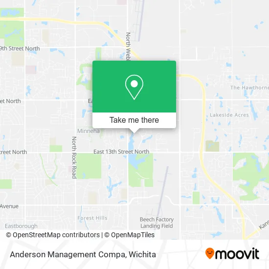
See Anderson Management Compa, Wichita, on the map
Public Transit to Anderson Management Compa in Wichita
Wondering how to get to Anderson Management Compa in Wichita? Moovit helps you find the best way to get to Anderson Management Compa with step-by-step directions from the nearest public transit station.
Moovit provides free maps and live directions to help you navigate through your city. View schedules, routes, timetables, and find out how long does it take to get to Anderson Management Compa in real time.
Looking for the nearest stop or station to Anderson Management Compa? Check out this list of stops closest to your destination: 13th St And Webb Ib.
Bus: ROUTE27: N BDWY-.
Want to see if there’s another route that gets you there at an earlier time? Moovit helps you find alternative routes or times. Get directions from and directions to Anderson Management Compa easily from the Moovit App or Website.
We make riding to Anderson Management Compa easy, which is why over 1.5 million users, including users in Wichita, trust Moovit as the best app for public transit. You don’t need to download an individual bus app or train app, Moovit is your all-in-one transit app that helps you find the best bus time or train time available.
For information on prices of bus, costs and ride fares to Anderson Management Compa, please check the Moovit app.
Use the app to navigate to popular places including to the airport, hospital, stadium, grocery store, mall, coffee shop, school, college, and university.
Anderson Management Compa Address: 1625 N Waterfront Pkwy Wichita, KS 67206 street in Wichita
- FedEx Drop Box,
- Robin Wiggans,
- Movement Mortgage - Scott Steele,543361,
- A D T,
- Andover State Bank,
- Sheets Creek,
- Forvis Mazars,
- Samar and Associates,
- BKD LLP,
- Search,
- FHRG,
- Jimmie's Diner,
- Michele M. Riggins, MD,
- Eyecare Partners Surgery Center,
- Charles Bogie III, MD, PHD,
- Daniel Wampler - Berkshire Hathaway Homeservices,
- Wholefoods Wichita,
- Tousled Salon,
- Pure Barre,
- Amazon Locker-Webb
Places Near Anderson Management Compa (Wichita)
- Spirit Aerosystems Inc, Building 1-198D,
- Spirit AeroSystems, Bldg 2-280J (Section 9),
- Ratcliff Auto and Truck Repair, Wichita,
- Paige Place Apartments, Wichita,
- Spirit Aerosystems,
- McConnell Air Force Base, Mcconnell Afb,
- Bmer Tech Automotive, Wichita,
- Westside Athletic Field (Friends University Baseball Field), Wichita,
- Four Corners Cafe @ Wesley Medical Center, Wichita,
- Hubb's glory hole, Wichita,
- East 21st Street North and Webb Road, Wichita,
- Ascencion Via Christi Hospital St Francis, Wichita,
- Wichita Dwight D. Eisenhower National Airport (ICT) (Wichita Eisenhower National Airport), Wichita,
- 21st & Maize, Wichita,
- Lopez Services, Wichita,
- Afghan Halal Market, Wichita,
- Sena African Hair Braiding LLC, Wichita,
- Total Card Solutions, Wichita,
- North High School, Wichita,
- Towne East Mall, Wichita
How to get to popular places in Wichita with public transit
Get around Wichita by public transit!
Traveling around Wichita has never been so easy. See step by step directions as you travel to any attraction, street or major public transit station. View bus and train schedules, arrival times, service alerts and detailed routes on a map, so you know exactly how to get to anywhere in Wichita.
When traveling to any destination around Wichita use Moovit's Live Directions with Get Off Notifications to know exactly where and how far to walk, how long to wait for your line, and how many stops are left. Moovit will alert you when it's time to get off — no need to constantly re-check whether yours is the next stop.
Wondering how to use public transit in Wichita or how to pay for public transit in Wichita? Moovit public transit app can help you navigate your way with public transit easily, and at minimum cost. It includes public transit fees, ticket prices, and costs. Looking for a map of Wichita public transit lines? Moovit public transit app shows all public transit maps in Wichita with all bus routes and stops on an interactive map.
Wichita has 1 transit type(s), including: bus, operated by several transit agencies, including Wichita Transit, Greyhound-us and FlixBus-us