Directions to Andrew Inglisa - State Farm Insurance Agent (Baltimore County) with public transportation
The following transit lines have routes that pass near Andrew Inglisa - State Farm Insurance Agent
 Bus: 32, CITYLINK PURPLE, 77, 37.
How to get to Andrew Inglisa - State Farm Insurance Agent by bus?
Click on the bus route to see step by step directions with maps, line arrival times and updated time schedules.
From CFG Bank Arena, Baltimore
42 minFrom Walmart, Baltimore County
38 minFrom Baltimore Greyhound Station, Baltimore
43 minFrom University Of Maryland Medical Center, Baltimore
42 minFrom Hanover, Baltimore
53 minFrom Topgolf, Baltimore
47 minFrom Baltimore Arena, Baltimore
42 minFrom Baltimore Convention Center, Baltimore
48 minFrom Walmart, Baltimore
42 minFrom Hopkins Plaza, Baltimore
42 min
Bus stops near Andrew Inglisa - State Farm Insurance Agent in Baltimore County
Bus lines to Andrew Inglisa - State Farm Insurance Agent in Baltimore County
What are the closest stations to Andrew Inglisa - State Farm Insurance Agent?
The closest stations to Andrew Inglisa - State Farm Insurance Agent are:
- Edmondson Ave & Ingleside Ave Eb is 316 yards away, 4 min walk.
- Ingleside Ave & Edmondson Ave Nb is 329 yards away, 4 min walk.
- Frederick Rd & Saint Timothys Ln Wb is 685 yards away, 9 min walk.
Which bus lines stop near Andrew Inglisa - State Farm Insurance Agent?
These bus lines stop near Andrew Inglisa - State Farm Insurance Agent: 32, CITYLINK PURPLE.
What’s the nearest bus station to Andrew Inglisa - State Farm Insurance Agent in Baltimore County?
The nearest bus stations to Andrew Inglisa - State Farm Insurance Agent in Baltimore County are Edmondson Ave & Ingleside Ave Eb and Ingleside Ave & Edmondson Ave Nb. The closest one is a 4 min walk away.
What time is the first bus to Andrew Inglisa - State Farm Insurance Agent in Baltimore County?
The 77 is the first bus that goes to Andrew Inglisa - State Farm Insurance Agent in Baltimore County. It stops nearby at 3:51 AM.
What time is the last bus to Andrew Inglisa - State Farm Insurance Agent in Baltimore County?
The 77 is the last bus that goes to Andrew Inglisa - State Farm Insurance Agent in Baltimore County. It stops nearby at 2:31 AM.
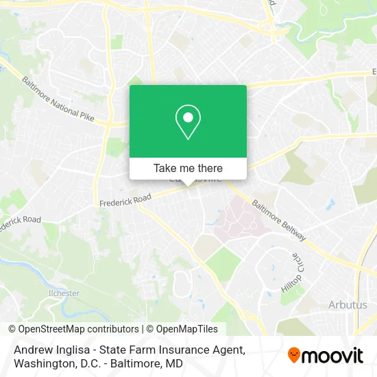
See Andrew Inglisa - State Farm Insurance Agent, Baltimore County, on the map
Public Transit to Andrew Inglisa - State Farm Insurance Agent in Baltimore County
Wondering how to get to Andrew Inglisa - State Farm Insurance Agent in Baltimore County? Moovit helps you find the best way to get to Andrew Inglisa - State Farm Insurance Agent with step-by-step directions from the nearest public transit station.
Moovit provides free maps and live directions to help you navigate through your city. View schedules, routes, timetables, and find out how long does it take to get to Andrew Inglisa - State Farm Insurance Agent in real time.
Looking for the nearest stop or station to Andrew Inglisa - State Farm Insurance Agent? Check out this list of stops closest to your destination: Edmondson Ave & Ingleside Ave Eb; Ingleside Ave & Edmondson Ave Nb; Frederick Rd & Saint Timothys Ln Wb.
Bus: 32, CITYLINK PURPLE, 77, 37.
Want to see if there’s another route that gets you there at an earlier time? Moovit helps you find alternative routes or times. Get directions from and directions to Andrew Inglisa - State Farm Insurance Agent easily from the Moovit App or Website.
We make riding to Andrew Inglisa - State Farm Insurance Agent easy, which is why over 1.5 million users, including users in Baltimore County, trust Moovit as the best app for public transit. You don’t need to download an individual bus app or train app, Moovit is your all-in-one transit app that helps you find the best bus time or train time available.
For information on prices of bus, costs and ride fares to Andrew Inglisa - State Farm Insurance Agent, please check the Moovit app.
Use the app to navigate to popular places including to the airport, hospital, stadium, grocery store, mall, coffee shop, school, college, and university.
Andrew Inglisa - State Farm Insurance Agent Address: 757 Frederick Rd Catonsville, MD 21228 street in Baltimore County
- Premier Pain Management,
- Youtube Advertising,
- Catonsville Peace A Pizza,
- Duesenberg's German Dinners,
- Midtown Locksmith,
- ATM,
- Coffee Junction the,
- Bill's Music,
- Mellor Ave MD-144,
- Development Contractors,
- Wheeler Plumbing & Heating,
- Emergency Veterinary Clinic,
- Radiocat Maryland,
- Mid-Atlantic Veterinary Neurol,
- US Naval Recruiting,
- Whimsy Baby Photography,
- Inspection Connection,
- Muir Hardware,
- Duesenberg's,
- Charm City links
Places Near Andrew Inglisa - State Farm Insurance Agent (Baltimore County)
- Pennsylvania Ave NW (3rd st and pennsylvania), Washington,
- Westfield Montgomery Mall, Montgomery County,
- National Museum of African American History and Culture, Washington,
- Georgetown, Washington,
- Basilica of the National Shrine, Washington,
- Amazon Hq2, Arlington County,
- M&T Bank Stadium, Baltimore,
- Camden Yards, Baltimore,
- Rock Creek Tennis Center, Washington,
- Capital One Arena, Washington,
- Warner Theatre, Washington,
- National Mall, Washington,
- Washington DC VA Medical Center, Washington,
- Museum Of The Bible, Washington,
- The Anthem, Washington,
- Sibley Memorial Hospital, Washington,
- PG Mall, Prince George's County,
- Marriott Marquis Washington, DC, Washington,
- National Zoo, Washington,
- Washington National Cathedral, Washington
How to get to popular places in Washington, D.C. - Baltimore, MD with public transit
Get around Baltimore County by public transit!
Traveling around Baltimore County has never been so easy. See step by step directions as you travel to any attraction, street or major public transit station. View bus and train schedules, arrival times, service alerts and detailed routes on a map, so you know exactly how to get to anywhere in Baltimore County.
When traveling to any destination around Baltimore County use Moovit's Live Directions with Get Off Notifications to know exactly where and how far to walk, how long to wait for your line, and how many stops are left. Moovit will alert you when it's time to get off — no need to constantly re-check whether yours is the next stop.
Wondering how to use public transit in Baltimore County or how to pay for public transit in Baltimore County? Moovit public transit app can help you navigate your way with public transit easily, and at minimum cost. It includes public transit fees, ticket prices, and costs. Looking for a map of Baltimore County public transit lines? Moovit public transit app shows all public transit maps in Baltimore County with all Bus, Train, Metro, Light Rail and Ferry routes and stops on an interactive map.
Washington, D.C. - Baltimore, MD has 5 transit type(s), including: Bus, Train, Metro, Light Rail and Ferry, operated by several transit agencies, including WMATA, Montgomery County Ride On, Fairfax Connector, TheBus, PRTC, DASH - Alexandria, Arlington Transit (ART), RTA of Central Maryland, MDOT MTA, MDOT MTA Light RailLink, MDOT MTA Commuter Bus, MDOT MTA Local Bus, FXBGO!, Virginia Railway Express (VRE) and MARC