How to get to Anilocus by bus?
Click on the bus route to see step by step directions with maps, line arrival times and updated time schedules.
From Clarksburg Premium Outlets, Montgomery County
41 minFrom Montgomery College-Rockville, Montgomery County
59 minFrom Adventist HealthCare Shady Grove Medical Center, Montgomery County
55 minFrom Park Potomac Place, Montgomery County
70 minFrom Glenstone Museum, Montgomery County
100 minFrom Astrazeneca HQ, Montgomery County
44 minFrom RIO Washingtonian Center, Montgomery County
51 minFrom Clarksburg Premium Outlets, Montgomery County
41 minFrom I-270 Exit 10 (Clopper Rd. / West Diamond Ave.), Montgomery County
55 minFrom Rockville, MD, Montgomery County
67 min
How to get to Anilocus by train?
Click on the train route to see step by step directions with maps, line arrival times and updated time schedules.
Bus stops near Anilocus in Montgomery County
Train station near Anilocus in Montgomery County
- Germantown Marc Eb, 15 min walk,VIEW
Bus lines to Anilocus in Montgomery County
What are the closest stations to Anilocus?
The closest stations to Anilocus are:
- Observation Dr & Montgomery College is 271 yards away, 4 min walk.
- Goldenrod Ln & Germantown Rd is 357 yards away, 5 min walk.
- Germantown Rd & Goldenrod Ln is 439 yards away, 6 min walk.
- Seneca Meadows Pkwy & Germantown Rd is 667 yards away, 8 min walk.
- Germantown Marc Eb is 1272 yards away, 15 min walk.
Which bus lines stop near Anilocus?
These bus lines stop near Anilocus: 55, 70, 75.
Which train line stops near Anilocus?
MARC (Inbound - Brunswick)
What’s the nearest train station to Anilocus in Montgomery County?
The nearest train station to Anilocus in Montgomery County is Germantown Marc Eb. It’s a 15 min walk away.
What’s the nearest bus station to Anilocus in Montgomery County?
The nearest bus station to Anilocus in Montgomery County is Observation Dr & Montgomery College. It’s a 4 min walk away.
What time is the first train to Anilocus in Montgomery County?
The MARC is the first train that goes to Anilocus in Montgomery County. It stops nearby at 5:22 AM.
What time is the last train to Anilocus in Montgomery County?
The MARC is the last train that goes to Anilocus in Montgomery County. It stops nearby at 8:04 PM.
What time is the first bus to Anilocus in Montgomery County?
The 55 is the first bus that goes to Anilocus in Montgomery County. It stops nearby at 4:16 AM.
What time is the last bus to Anilocus in Montgomery County?
The 55 is the last bus that goes to Anilocus in Montgomery County. It stops nearby at 1:38 AM.
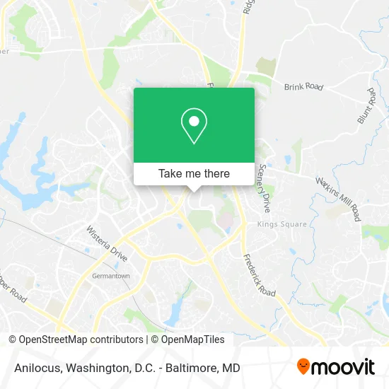
See Anilocus, Montgomery County, on the map
Public Transit to Anilocus in Montgomery County
Wondering how to get to Anilocus in Montgomery County? Moovit helps you find the best way to get to Anilocus with step-by-step directions from the nearest public transit station.
Moovit provides free maps and live directions to help you navigate through your city. View schedules, routes, timetables, and find out how long does it take to get to Anilocus in real time.
Looking for the nearest stop or station to Anilocus? Check out this list of stops closest to your destination: Observation Dr & Montgomery College; Goldenrod Ln & Germantown Rd; Germantown Rd & Goldenrod Ln; Seneca Meadows Pkwy & Germantown Rd; Germantown Marc Eb.
Bus: 55, 70, 75, 83.Train: MARC.
Want to see if there’s another route that gets you there at an earlier time? Moovit helps you find alternative routes or times. Get directions from and directions to Anilocus easily from the Moovit App or Website.
We make riding to Anilocus easy, which is why over 1.5 million users, including users in Montgomery County, trust Moovit as the best app for public transit. You don’t need to download an individual bus app or train app, Moovit is your all-in-one transit app that helps you find the best bus time or train time available.
For information on prices of bus and train, costs and ride fares to Anilocus, please check the Moovit app.
Use the app to navigate to popular places including to the airport, hospital, stadium, grocery store, mall, coffee shop, school, college, and university.
Anilocus Address: 20271 Goldenrod Ln Germantown, MD 20876 street in Montgomery County
- Nusep Inc. Biotech,
- Jr Caterers,
- Clark Construction,
- USPS Collection Box - Blue Box,
- Spark by Hilton-Spark by Hilton Germantown Washington DC North,
- Montgomery College | Germantown,
- Pest Control Services Seven Days,
- Thomasson, Anna Adele,
- Shady Grove Adventist Radiation Urology Germantown,
- Star Limousine,
- Sarah Cohen,
- Numbness Stop Chiropractor,
- 20400 Observation,
- Jack Kort Homes,
- Pharmaron,
- Long & Foster Real Estate, Inc,
- A J Nocket Plumbing & Heating,
- Elme Germantown,
- Deka Biosciences,
- Joyful House Church, Defenders of the Christian Faith Movement
Places Near Anilocus (Montgomery County)
- M&T Bank Stadium, Baltimore,
- Warner Theatre, Washington,
- Rock Creek Tennis Center, Washington,
- National Theatre, Washington,
- Westfield Montgomery Mall, Montgomery County,
- Amazon Hq2, Arlington County,
- Marriott Marquis Washington, DC, Washington,
- Washington DC VA Medical Center, Washington,
- National Museum of African American History and Culture, Washington,
- PG Mall, Prince George's County,
- Museum Of The Bible, Washington,
- Sibley Memorial Hospital, Washington,
- National Zoo, Washington,
- Washington National Cathedral, Washington,
- Capital One Arena, Washington,
- Georgetown, Washington,
- The Anthem, Washington,
- Pennsylvania Ave NW (3rd st and pennsylvania), Washington,
- Camden Yards, Baltimore,
- Basilica of the National Shrine, Washington
How to get to popular places in Washington, D.C. - Baltimore, MD with public transit
Get around Montgomery County by public transit!
Traveling around Montgomery County has never been so easy. See step by step directions as you travel to any attraction, street or major public transit station. View bus and train schedules, arrival times, service alerts and detailed routes on a map, so you know exactly how to get to anywhere in Montgomery County.
When traveling to any destination around Montgomery County use Moovit's Live Directions with Get Off Notifications to know exactly where and how far to walk, how long to wait for your line, and how many stops are left. Moovit will alert you when it's time to get off — no need to constantly re-check whether yours is the next stop.
Wondering how to use public transit in Montgomery County or how to pay for public transit in Montgomery County? Moovit public transit app can help you navigate your way with public transit easily, and at minimum cost. It includes public transit fees, ticket prices, and costs. Looking for a map of Montgomery County public transit lines? Moovit public transit app shows all public transit maps in Montgomery County with all Bus, Train, Metro, Light Rail and Ferry routes and stops on an interactive map.
Washington, D.C. - Baltimore, MD has 5 transit type(s), including: Bus, Train, Metro, Light Rail and Ferry, operated by several transit agencies, including WMATA, Montgomery County Ride On, Fairfax Connector, TheBus, PRTC, DASH - Alexandria, Arlington Transit (ART), RTA of Central Maryland, MDOT MTA, MDOT MTA Light RailLink, MDOT MTA Commuter Bus, MDOT MTA Local Bus, FXBGO!, Virginia Railway Express (VRE) and MARC