How to get to Ara Projects by bus?
Click on the bus route to see step by step directions with maps, line arrival times and updated time schedules.
From Malhotra Wholesale, Edmonton
64 minFrom St Brendan Catholic Elementary Sch, Edmonton
49 minFrom IKEA Edmonton, Edmonton
36 minFrom Twin Brooks Park, Edmonton
73 minFrom Cineplex Odeon South Edmonton Cinemas, Edmonton
39 minFrom Bonnie Doon Mall, Edmonton
58 minFrom Asa Services, Edmonton
54 minFrom Commonwealth Place, Edmonton
40 minFrom King Edward Park, Edmonton
63 minFrom 104 Street & 61 Avenue, Edmonton
73 min
Bus stop near Ara Projects in Edmonton
- 24 Street & 16 Avenue, 5 min walk,VIEW
Bus lines to Ara Projects in Edmonton
What are the closest stations to Ara Projects?
The closest stations to Ara Projects are:
- 24 Street & 16 Avenue is 297 meters away, 5 min walk.
Which bus line stops near Ara Projects?
516 (Meadows Transit Centre→Mill Woods Transit Centre)
What’s the nearest bus station to Ara Projects in Edmonton?
The nearest bus station to Ara Projects in Edmonton is 24 Street & 16 Avenue. It’s a 5 min walk away.
What time is the first bus to Ara Projects in Edmonton?
The 516 is the first bus that goes to Ara Projects in Edmonton. It stops nearby at 6:09 AM.
What time is the last bus to Ara Projects in Edmonton?
The 516 is the last bus that goes to Ara Projects in Edmonton. It stops nearby at 12:01 AM.
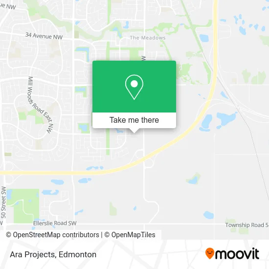
See Ara Projects, Edmonton, on the map
Public Transit to Ara Projects in Edmonton
Wondering how to get to Ara Projects in Edmonton? Moovit helps you find the best way to get to Ara Projects with step-by-step directions from the nearest public transit station.
Moovit provides free maps and live directions to help you navigate through your city. View schedules, routes, timetables, and find out how long does it take to get to Ara Projects in real time.
Looking for the nearest stop or station to Ara Projects? Check out this list of stops closest to your destination: 24 Street & 16 Avenue.
Bus: 516, 647.
Want to see if there’s another route that gets you there at an earlier time? Moovit helps you find alternative routes or times. Get directions from and directions to Ara Projects easily from the Moovit App or Website.
We make riding to Ara Projects easy, which is why over 1.5 million users, including users in Edmonton, trust Moovit as the best app for public transit. You don’t need to download an individual bus app or train app, Moovit is your all-in-one transit app that helps you find the best bus time or train time available.
For information on prices of bus and light rail, costs and ride fares to Ara Projects, please check the Moovit app.
Use the app to navigate to popular places including to the airport, hospital, stadium, grocery store, mall, coffee shop, school, college, and university.
Ara Projects Address: 21 St NW Edmonton, AB T6T 1B2 street in Edmonton
- Car Driving School,
- Sky Roofers,
- Shine Squad,
- Alberta Gadget Source,
- Grind 2 Shine,
- The Palms at Laurel,
- Sr Construction and Renovations,
- One Fix Plumbing,
- Badshah Homes,
- Mabuhay Park,
- D-Town Diesel Repair,
- Pentagon Network,
- HG Painting,
- The Jaded Rose,
- Titan Trux,
- A-One Construction,
- PETRO-CANADA,
- Alberta Lt,
- Liquor Cave,
- H&H Exterior
Places Near Ara Projects (Edmonton)
- Royal Alexandra Hospital, Edmonton,
- University of Alberta, Edmonton,
- West Edmonton Mall, Edmonton,
- Canada Place Service Canada Centre, Edmonton,
- Edmonton Valley Zoo, Edmonton,
- Borden Park, Edmonton,
- Grey Nuns Community Hospital, Edmonton,
- Edmonton VIA Rail Station, Edmonton,
- Alberta Legislature Building, Edmonton,
- Kaye Edmonton Clinic, Edmonton,
- Londonderry Mall, Edmonton,
- Edmonton Commonwealth Stadium, Edmonton,
- Kingsway Mall, Edmonton,
- Cross Cancer Institute, Edmonton,
- MacEwan University, Edmonton,
- Whyte Avenue, Edmonton,
- Rogers Place, Edmonton,
- Edmonton EXPO Centre, Edmonton,
- Northgate Centre, Edmonton,
- Fort Edmonton Park, Edmonton
How to get to popular places in Edmonton with public transit
Get around Edmonton by public transit!
Traveling around Edmonton has never been so easy. See step by step directions as you travel to any attraction, street or major public transit station. View bus and train schedules, arrival times, service alerts and detailed routes on a map, so you know exactly how to get to anywhere in Edmonton.
When traveling to any destination around Edmonton use Moovit's Live Directions with Get Off Notifications to know exactly where and how far to walk, how long to wait for your line, and how many stops are left. Moovit will alert you when it's time to get off — no need to constantly re-check whether yours is the next stop.
Wondering how to use public transit in Edmonton or how to pay for public transit in Edmonton? Moovit public transit app can help you navigate your way with public transit easily, and at minimum cost. It includes public transit fees, ticket prices, and costs. Looking for a map of Edmonton public transit lines? Moovit public transit app shows all public transit maps in Edmonton with all Bus and Light Rail routes and stops on an interactive map.
Edmonton has 2 transit type(s), including: Bus and Light Rail, operated by several transit agencies, including ETS LRT, ETS, Strathcona County Transit, St. Albert Transit, Spruce Grove Transit, Fort Saskatchewan Transit, Beaumont Transit and Leduc Transit