How to get to Arte en Forja by bus?
Click on the bus route to see step by step directions with maps, line arrival times and updated time schedules.
From Mirador de las Culturas II, Aguascalientes
60 minFrom Escuela Secundaria Gral. No. 18, Aguascalientes
61 minFrom Casa de Campaña Toño Martin del Campo, Aguascalientes
50 minFrom Fracc. Terranova, Aguascalientes
62 minFrom Av. Heroe Inmortal, Aguascalientes
50 minFrom Parque del papa, Aguascalientes
39 minFrom Hacienda De Pabellon De Hidalgo, Aguascalientes
76 minFrom Castillo Douglas, Aguascalientes
28 minFrom Hospital Psiquiatrico de Aguascalientes, Aguascalientes
59 minFrom Fracc. Pirámides, Aguascalientes
42 min
Bus stop near Arte en Forja in Aguascalientes
- Avenida Eugenio Garza Sada, 260, 2 min walk,VIEW
What are the closest stations to Arte en Forja?
The closest stations to Arte en Forja are:
- Avenida Eugenio Garza Sada, 260 is 110 meters away, 2 min walk.
Which bus lines stop near Arte en Forja?
These bus lines stop near Arte en Forja: RUTA 19, RUTA 28.
What’s the nearest bus station to Arte en Forja in Aguascalientes?
The nearest bus station to Arte en Forja in Aguascalientes is Avenida Eugenio Garza Sada, 260. It’s a 2 min walk away.
What time is the first bus to Arte en Forja in Aguascalientes?
The RUTA 19 is the first bus that goes to Arte en Forja in Aguascalientes. It stops nearby at 6:11 AM.
What time is the last bus to Arte en Forja in Aguascalientes?
The RUTA 19 is the last bus that goes to Arte en Forja in Aguascalientes. It stops nearby at 10:02 PM.
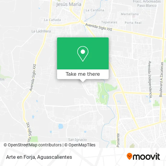
See Arte en Forja, Aguascalientes, on the map
Public Transit to Arte en Forja in Aguascalientes
Wondering how to get to Arte en Forja in Aguascalientes? Moovit helps you find the best way to get to Arte en Forja with step-by-step directions from the nearest public transit station.
Moovit provides free maps and live directions to help you navigate through your city. View schedules, routes, timetables, and find out how long does it take to get to Arte en Forja in real time.
Looking for the nearest stop or station to Arte en Forja? Check out this list of stops closest to your destination: Avenida Eugenio Garza Sada.
Bus: RUTA 19, RUTA 28.
Want to see if there’s another route that gets you there at an earlier time? Moovit helps you find alternative routes or times. Get directions from and directions to Arte en Forja easily from the Moovit App or Website.
We make riding to Arte en Forja easy, which is why over 1.5 million users, including users in Aguascalientes, trust Moovit as the best app for public transit. You don’t need to download an individual bus app or train app, Moovit is your all-in-one transit app that helps you find the best bus time or train time available.
For information on prices of bus, costs and ride fares to Arte en Forja, please check the Moovit app.
Use the app to navigate to popular places including to the airport, hospital, stadium, grocery store, mall, coffee shop, school, college, and university.
Arte en Forja Address: Arte en Forja, Avenida Jesús María Pocitos, Ejido Los Pocitos, 20328 Pocitos, Aguascalientes street in Aguascalientes
- La Borrega Poblana,
- Tortillería Pocitos,
- Dulcerias Diplasa,
- Quilla Roof,
- Single and Double,
- Cosméticos Varega,
- Comunidad Los Pocitos,
- Simari,
- SIMARI Calderas,
- Carnes Supremas Muñoz,
- Ferretería Palacios,
- Regalos,
- Templo San José de los Pocitos,
- parroquia san jose de los pocitos,
- Tacos Don Rafa,
- Carniceria Froy,
- Punto Pádel Ags,
- Centro de Bienestar,
- Birrieria El Puente Norte,
- Farmacias Similares
Places Near Arte en Forja (Aguascalientes)
- Agropecuario, Aguascalientes,
- clinica 3 uaa, Aguascalientes,
- Villas de Nuestra Señora de la Asunción, Aguascalientes,
- Hospital Imss No. 3, Aguascalientes,
- Terminal De Combis, Aguascalientes,
- Imss Clinica 1, Aguascalientes,
- Ciudad industrial, Aguascalientes,
- Blvd. Luis Donaldo Colosio, Aguascalientes,
- Villasuncion, Aguascalientes,
- Isla San Marcos, Aguascalientes,
- La Isla San Marcos, Aguascalientes,
- Central De Autobuses, Aguascalientes,
- Centro Comercial Altaria, Aguascalientes,
- Aeropuerto de Aguascalientes S.A. de C.V., Aguascalientes,
- Jesús María, Aguascalientes,
- Universidad Autónoma de Aguascalientes, Aguascalientes,
- ESPACIOS, Aguascalientes,
- Nuevo Hospital Hidalgo, Aguascalientes,
- Centro, Aguascalientes,
- Parque Las Tres Centurias, Aguascalientes
How to get to popular places in Aguascalientes with public transit
Get around Aguascalientes by public transit!
Traveling around Aguascalientes has never been so easy. See step by step directions as you travel to any attraction, street or major public transit station. View bus and train schedules, arrival times, service alerts and detailed routes on a map, so you know exactly how to get to anywhere in Aguascalientes.
When traveling to any destination around Aguascalientes use Moovit's Live Directions with Get Off Notifications to know exactly where and how far to walk, how long to wait for your line, and how many stops are left. Moovit will alert you when it's time to get off — no need to constantly re-check whether yours is the next stop.
Wondering how to use public transit in Aguascalientes or how to pay for public transit in Aguascalientes? Moovit public transit app can help you navigate your way with public transit easily, and at minimum cost. It includes public transit fees, ticket prices, and costs. Looking for a map of Aguascalientes public transit lines? Moovit public transit app shows all public transit maps in Aguascalientes with all bus routes and stops on an interactive map.
Aguascalientes has 1 transit type(s), including: bus, operated by several transit agencies, including Coordinación General de Movilidad