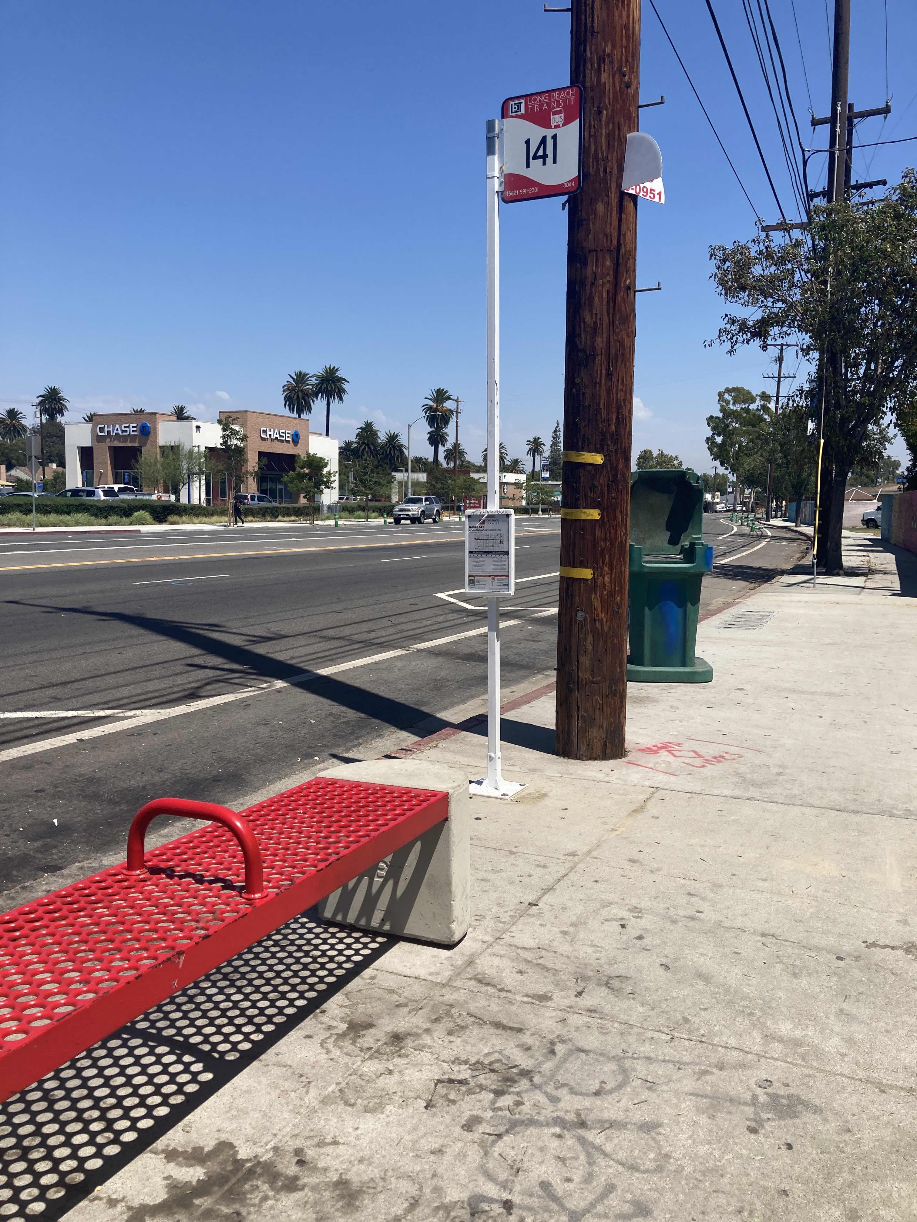
Artesia & Atlantic SE stop - Wednesday schedule
| Line | Direction | Time |
|---|---|---|
| 141 | 141 Artesia Blvd to Cerritos Center | 4:59 AM |
| 141 | 141 Artesia Blvd to Cerritos Center | 5:24 AM |
| 141 | 141 Artesia Blvd to Cerritos Center | 5:52 AM |
| 141 | 141 Artesia Blvd to Cerritos Center | 6:22 AM |
| 141 | 141 Artesia Blvd to Cerritos Center | 6:54 AM |
| 141 | 141 Artesia Blvd to Cerritos Center | 7:25 AM |
| 141 | 141 Artesia Blvd to Cerritos Center | 7:55 AM |
| 141 | 141 Artesia Blvd to Cerritos Center | 8:26 AM |
| 141 | 141 Artesia Blvd to Cerritos Center | 8:56 AM |
| 141 | 141 Artesia Blvd to Cerritos Center | 9:25 AM |
| 141 | 141 Artesia Blvd to Cerritos Center | 9:55 AM |
| 141 | 141 Artesia Blvd to Cerritos Center | 10:25 AM |
| 141 | 141 Artesia Blvd to Cerritos Center | 10:55 AM |
| 141 | 141 Artesia Blvd to Cerritos Center | 11:25 AM |
| 141 | 141 Artesia Blvd to Cerritos Center | 11:55 AM |
| 141 | 141 Artesia Blvd to Cerritos Center | 12:24 PM |
| 141 | 141 Artesia Blvd to Cerritos Center | 12:54 PM |
| 141 | 141 Artesia Blvd to Cerritos Center | 1:24 PM |
| 141 | 141 Artesia Blvd to Cerritos Center | 1:52 PM |
| 141 | 141 Artesia Blvd to Cerritos Center | 2:22 PM |
| 141 | 141 Artesia Blvd to Cerritos Center | 2:53 PM |
| 141 | 141 Artesia Blvd to Cerritos Center | 3:23 PM |
| 141 | 141 Artesia Blvd to Cerritos Center | 3:54 PM |
| 141 | 141 Artesia Blvd to Cerritos Center | 4:22 PM |
| 141 | 141 Artesia Blvd to Cerritos Center | 4:50 PM |
Directions to Artesia & Atlantic SE stop (Long Beach) with public transit
The following transit lines have routes that pass near Artesia & Atlantic SE
 Bus: 141, 260/261, 61, 71.
How to get to Artesia & Atlantic SE stop by bus?
Click on the bus route to see step by step directions with maps, line arrival times and updated time schedules.
Bus stops near Artesia & Atlantic SE stop in Long Beach
- Atlantic & Artesia SW, 1 min walk,
- Atlantic / Artesia, 2 min walk,
- Artesia & Atlantic NW, 2 min walk,
- Orange & Artesia SW, 11 min walk,
Light Rail stations near Artesia & Atlantic SE station in Long Beach
- Artesia Station, 33 min walk,
Bus lines to Artesia & Atlantic SE stop in Long Beach
- 61, 61 Atlantic to Artesia Sta,
- 260/261, Pasadena Fair Oaks / Walnut via Atlantic,
- 141, 141 Artesia Blvd to Cerritos Center,
- 71, 71 - Orange to Rosecrans at Lakewood,
What are the closest stations to Artesia & Atlantic SE?
The closest stations to Artesia & Atlantic SE are:
- Atlantic & Artesia SW is 54 yards away, 1 min walk.
- Atlantic / Artesia is 68 yards away, 2 min walk.
- Artesia & Atlantic NW is 91 yards away, 2 min walk.
- Orange & Artesia SW is 837 yards away, 11 min walk.
- Artesia Station is 2779 yards away, 33 min walk.
Which bus lines stop near Artesia & Atlantic SE?
These bus lines stop near Artesia & Atlantic SE: 141, 260/261, 61.
What’s the nearest bus station to Artesia & Atlantic SE in Long Beach?
The nearest bus station to Artesia & Atlantic SE in Long Beach is Atlantic & Artesia SW. It’s a 1 min walk away.
What time is the first light rail to Artesia & Atlantic SE in Long Beach?
The A LINE is the first light rail that goes to Artesia & Atlantic SE in Long Beach. It stops nearby at 3:45 AM.
What time is the last light rail to Artesia & Atlantic SE in Long Beach?
The A LINE is the last light rail that goes to Artesia & Atlantic SE in Long Beach. It stops nearby at 1:22 AM.
What time is the first bus to Artesia & Atlantic SE in Long Beach?
The 260/261 is the first bus that goes to Artesia & Atlantic SE in Long Beach. It stops nearby at 4:09 AM.
What time is the last bus to Artesia & Atlantic SE in Long Beach?
The 61 is the last bus that goes to Artesia & Atlantic SE in Long Beach. It stops nearby at 11:41 PM.
Artesia & Atlantic SE station
 Taken by Anonymous
See Artesia & Atlantic SE stop, Long Beach, on the map
Public transit to Artesia & Atlantic SE stop (ID: 3044) in Long Beach
Looking for directions to Artesia & Atlantic SE in Long Beach, United States?
Download the Moovit App to find the current schedule and step-by-step directions for Bus or Light Rail routes that pass through Artesia & Atlantic SE.
Looking for the nearest stops closest to Artesia & Atlantic SE ? Check out this list of closest stops to your destination: Atlantic & Artesia SW; Atlantic / Artesia; Artesia & Atlantic NW; Orange & Artesia SW; Artesia Station.
Bus: 141, 260/261, 61, 71.
We make riding on public transit to Artesia & Atlantic SE easy, which is why over 1.5 million users, including users in Long Beach trust Moovit as the best app for public transit.
Use the app to navigate to popular places including to the airport, hospital, stadium, grocery store, mall, coffee shop, school, college, and university.
Artesia & Atlantic SE stop’s code is 3044
The first line to this stop is 141, at 4:59 AM, and the last line is 61 at 11:42 PM.
This stop serves Long Beach Transit’s lines
Popular routes from Artesia & Atlantic SE stop, Long Beach
- Atlantic & Artesia SW,
- Atlantic / Artesia,
- Artesia & Atlantic NW,
- Orange & Artesia SW
Bus stops near Artesia & Atlantic SE stop
- Artesia Station
Light Rail station near Artesia & Atlantic SE station
- San Fernando at Colorado,
- Sherman Way / Kester,
- Foothill / Maclay,
- 6th / Broadway,
- Figueroa St & 4th St,
- Orangethorpe / East Entry Park & Ride,
- Golden Lantern-Dana Point Harbor,
- Laurel Canyon / Lookout Mountain,
- Mona Blvd & Santa Ana Blvd (Southbound),
- 6th St. E. & Palmdale Blvd.,
- Vernon & Avalon Blvd. (CW),
- Century Blvd & Broadway (Westbound),
- Garvey / Santa Anita,
- Vanowen / White Oak,
- Harbor-Santa Ana,
- Vermont & Olympic Blvd. (CCW),
- Western / 83rd,
- Vermont / Santa Monica Station,
- Wilshire / Peck,
- Universal / Studio City Station
Popular public transit stations in Long Beach
Get around Long Beach by public transit!
Traveling around Long Beach has never been so easy. See step by step directions as you travel to any attraction, street or major public transit station. View bus and train schedules, arrival times, service alerts and detailed routes on a map, so you know exactly how to get to anywhere in Long Beach.
When traveling to any destination around Long Beach use Moovit's Live Directions with Get Off Notifications to know exactly where and how far to walk, how long to wait for your line, and how many stops are left. Moovit will alert you when it's time to get off — no need to constantly re-check whether yours is the next stop.
Wondering how to use public transit in Long Beach or how to pay for public transit in Long Beach? Moovit public transit app can help you navigate your way with public transit easily, and at minimum cost. It includes public transit fees, ticket prices, and costs. Looking for a map of Long Beach public transit lines? Moovit public transit app shows all public transit maps in Long Beach with all Bus, Train, Subway, Light Rail, Ferry and Funicular routes and stops on an interactive map.
Los Angeles has 6 transit type(s), including: Bus, Train, Subway, Light Rail, Ferry and Funicular, operated by several transit agencies, including Metro - Los Angeles, Metrolink Trains, METRO, Long Beach Transit, LADOT, OCTA, Big Blue Bus, Riverside Transit Agency, LAX FlyAway, Airporter Shuttle, Playa Vista Shuttle, Amtrak, OMNITRANS, Pasadena Transit and TORRANCE TRANSIT SYSTEM