How to get to Asserotech Corp by bus?
Click on the bus route to see step by step directions with maps, line arrival times and updated time schedules.
From State Dept Annex SA-15, Arlington County
78 minFrom Fairfax County Courthouse, Fairfax County
56 minFrom Marymount University Campus, Arlington County
66 minFrom Cia Headquarters, Fairfax County
85 minFrom Freddie Mac, Fairfax County
64 minFrom Walmart, Arlington County
62 minFrom FSI, Arlington County
79 minFrom McLean, Virginia, Fairfax County
85 minFrom Tysons Corner Center, Fairfax County
46 minFrom Springfield Mall (franconia / Springfield Mall), Fairfax County
55 min
Bus stops near Asserotech Corp in Fairfax County
Metro station near Asserotech Corp in Fairfax County
- Dunn Loring Merrifield Metro Station, 12 min walk,VIEW
Bus lines to Asserotech Corp in Fairfax County
What are the closest stations to Asserotech Corp?
The closest stations to Asserotech Corp are:
- Gallows Rd @ Wheatwheel La is 565 yards away, 8 min walk.
- Gallows Rd @ Holmes Run Dr is 616 yards away, 8 min walk.
- Dunn Loring Merrifield Metro Station is 951 yards away, 12 min walk.
Which bus lines stop near Asserotech Corp?
These bus lines stop near Asserotech Corp: 401, 402.
What’s the nearest metro station to Asserotech Corp in Fairfax County?
The nearest metro station to Asserotech Corp in Fairfax County is Dunn Loring Merrifield Metro Station. It’s a 12 min walk away.
What’s the nearest bus station to Asserotech Corp in Fairfax County?
The nearest bus stations to Asserotech Corp in Fairfax County are Gallows Rd @ Wheatwheel La and Gallows Rd @ Holmes Run Dr. The closest one is a 8 min walk away.
What time is the first metro to Asserotech Corp in Fairfax County?
The ORANGE is the first metro that goes to Asserotech Corp in Fairfax County. It stops nearby at 5:04 AM.
What time is the last metro to Asserotech Corp in Fairfax County?
The ORANGE is the last metro that goes to Asserotech Corp in Fairfax County. It stops nearby at 12:28 AM.
What time is the first bus to Asserotech Corp in Fairfax County?
The 401 is the first bus that goes to Asserotech Corp in Fairfax County. It stops nearby at 3:59 AM.
What time is the last bus to Asserotech Corp in Fairfax County?
The 402 is the last bus that goes to Asserotech Corp in Fairfax County. It stops nearby at 1:56 AM.
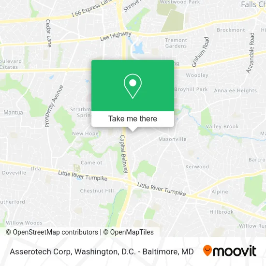
See Asserotech Corp, Fairfax County, on the map
Public Transit to Asserotech Corp in Fairfax County
Wondering how to get to Asserotech Corp in Fairfax County? Moovit helps you find the best way to get to Asserotech Corp with step-by-step directions from the nearest public transit station.
Moovit provides free maps and live directions to help you navigate through your city. View schedules, routes, timetables, and find out how long does it take to get to Asserotech Corp in real time.
Looking for the nearest stop or station to Asserotech Corp? Check out this list of stops closest to your destination: Gallows Rd @ Wheatwheel La; Gallows Rd @ Holmes Run Dr; Dunn Loring Merrifield Metro Station.
Bus: 401, 402.Metro: ORANGE.
Want to see if there’s another route that gets you there at an earlier time? Moovit helps you find alternative routes or times. Get directions from and directions to Asserotech Corp easily from the Moovit App or Website.
We make riding to Asserotech Corp easy, which is why over 1.5 million users, including users in Fairfax County, trust Moovit as the best app for public transit. You don’t need to download an individual bus app or train app, Moovit is your all-in-one transit app that helps you find the best bus time or train time available.
For information on prices of bus and metro, costs and ride fares to Asserotech Corp, please check the Moovit app.
Use the app to navigate to popular places including to the airport, hospital, stadium, grocery store, mall, coffee shop, school, college, and university.
Location: Fairfax County, Washington, D.C. - Baltimore, MD
- Outback Deckworks,
- Holmes Run Heights (Holmes Run Ht),
- Exit 51/Gallows Rd/N,
- Entrance I-495 S,
- Ambijo Chic,
- Turnings by Bob,
- William Husztek,
- La Chante,
- A&B Decorating,
- L C Travel & Immigration Svc,
- Holmes Run Heights,
- JCPenney Optical,
- Rubio Real Estate,
- 495 Towing,
- Fairfax Realty of Tysons,
- Holmes Run VA-650,
- Margaaa Services,
- Gallows & Holmes Run - Fairfax Connector 401 Bus Stop,
- Xterior Remodeling,
- Vanpool
Places Near Asserotech Corp (Fairfax County)
- Westfield Montgomery Mall, Montgomery County,
- Amazon Hq2, Arlington County,
- National Museum of African American History and Culture, Washington,
- M&T Bank Stadium, Baltimore,
- Georgetown, Washington,
- Warner Theatre, Washington,
- Sibley Memorial Hospital, Washington,
- Basilica of the National Shrine, Washington,
- Rock Creek Tennis Center, Washington,
- Camden Yards, Baltimore,
- Museum Of The Bible, Washington,
- National Zoo, Washington,
- Washington DC VA Medical Center, Washington,
- PG Mall, Prince George's County,
- Capital One Arena, Washington,
- The Anthem, Washington,
- National Mall, Washington,
- Marriott Marquis Washington, DC, Washington,
- Pennsylvania Ave NW (3rd st and pennsylvania), Washington,
- Washington National Cathedral, Washington
How to get to popular places in Washington, D.C. - Baltimore, MD with public transit
Get around Fairfax County by public transit!
Traveling around Fairfax County has never been so easy. See step by step directions as you travel to any attraction, street or major public transit station. View bus and train schedules, arrival times, service alerts and detailed routes on a map, so you know exactly how to get to anywhere in Fairfax County.
When traveling to any destination around Fairfax County use Moovit's Live Directions with Get Off Notifications to know exactly where and how far to walk, how long to wait for your line, and how many stops are left. Moovit will alert you when it's time to get off — no need to constantly re-check whether yours is the next stop.
Wondering how to use public transit in Fairfax County or how to pay for public transit in Fairfax County? Moovit public transit app can help you navigate your way with public transit easily, and at minimum cost. It includes public transit fees, ticket prices, and costs. Looking for a map of Fairfax County public transit lines? Moovit public transit app shows all public transit maps in Fairfax County with all Bus, Train, Metro, Light Rail and Ferry routes and stops on an interactive map.
Washington, D.C. - Baltimore, MD has 5 transit type(s), including: Bus, Train, Metro, Light Rail and Ferry, operated by several transit agencies, including WMATA, Montgomery County Ride On, Fairfax Connector, TheBus, PRTC, DASH - Alexandria, Arlington Transit (ART), RTA of Central Maryland, MDOT MTA, MDOT MTA Light RailLink, MDOT MTA Commuter Bus, MDOT MTA Local Bus, FXBGO!, Virginia Railway Express (VRE) and MARC