How to get to Assisted Transition by bus?
Click on the bus route to see step by step directions with maps, line arrival times and updated time schedules.
From Staten Island Mall, Staten Island
256 minFrom PNC Bank Arts Center, Holmdel
254 minFrom Highland Park, NJ, Highland Park
160 minFrom Freehold, NJ, Freehold
165 minFrom HUUHHHH??, Woodbridge
133 minFrom Perth Amboy, NJ, Perth Amboy
93 minFrom Baps Shri Swaminarayan Mandir, Edison, NJ, USA, Edison
164 minFrom Rutgers, New Brunswick
149 minFrom Edison NJ, Edison
167 min
How to get to Assisted Transition by train?
Click on the train route to see step by step directions with maps, line arrival times and updated time schedules.
Bus stops near Assisted Transition in Matawan
Train station near Assisted Transition in Matawan
- Aberdeen-Matawan, 23 min walk,VIEW
Bus lines to Assisted Transition in Matawan
What are the closest stations to Assisted Transition?
The closest stations to Assisted Transition are:
- Rt-34 at Broad St# is 192 yards away, 3 min walk.
- Main St at Rt-34# is 404 yards away, 6 min walk.
- Main St at Washington St# is 428 yards away, 6 min walk.
- Aberdeen-Matawan is 1888 yards away, 23 min walk.
Which bus line stops near Assisted Transition?
817 (Campbells Jnct)
Which train line stops near Assisted Transition?
NJCL (Bay Head)
What’s the nearest train station to Assisted Transition in Matawan?
The nearest train station to Assisted Transition in Matawan is Aberdeen-Matawan. It’s a 23 min walk away.
What’s the nearest bus station to Assisted Transition in Matawan?
The nearest bus station to Assisted Transition in Matawan is Rt-34 at Broad St#. It’s a 3 min walk away.
What time is the first train to Assisted Transition in Matawan?
The NJCL is the first train that goes to Assisted Transition in Matawan. It stops nearby at 4:21 AM.
What time is the last train to Assisted Transition in Matawan?
The NJCL is the last train that goes to Assisted Transition in Matawan. It stops nearby at 2:07 AM.
What time is the first bus to Assisted Transition in Matawan?
The 133 is the first bus that goes to Assisted Transition in Matawan. It stops nearby at 5:08 AM.
What time is the last bus to Assisted Transition in Matawan?
The 133 is the last bus that goes to Assisted Transition in Matawan. It stops nearby at 10:22 PM.
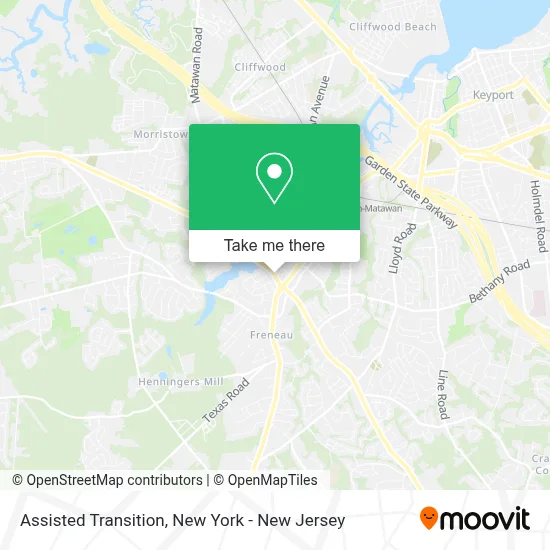
See Assisted Transition, Matawan, on the map
Public Transit to Assisted Transition in Matawan
Wondering how to get to Assisted Transition in Matawan? Moovit helps you find the best way to get to Assisted Transition with step-by-step directions from the nearest public transit station.
Moovit provides free maps and live directions to help you navigate through your city. View schedules, routes, timetables, and find out how long does it take to get to Assisted Transition in real time.
Looking for the nearest stop or station to Assisted Transition? Check out this list of stops closest to your destination: Rt-34 at Broad St#; Main St at Rt-34#; Main St at Washington St#; Aberdeen-Matawan.
Bus: 817, 133, 135, 131.Train: NJCL.
Want to see if there’s another route that gets you there at an earlier time? Moovit helps you find alternative routes or times. Get directions from and directions to Assisted Transition easily from the Moovit App or Website.
We make riding to Assisted Transition easy, which is why over 1.5 million users, including users in Matawan, trust Moovit as the best app for public transit. You don’t need to download an individual bus app or train app, Moovit is your all-in-one transit app that helps you find the best bus time or train time available.
For information on prices of bus, train and subway, costs and ride fares to Assisted Transition, please check the Moovit app.
Use the app to navigate to popular places including to the airport, hospital, stadium, grocery store, mall, coffee shop, school, college, and university.
Assisted Transition Address: 899 NJ-34 street in Matawan
- Paper Rose Invitation & Design,
- Csi Group, Llp. - Cpas,
- Paper Rose Invitations,
- Investors Realty Services,
- Presbyterian Nursery School,
- Deeper Life Bible Church,
- Centrobill,
- 933 RT-34 (State Route 34),
- Absolute Clean Company,
- Norton School of Lymphatic Therapy,
- Dtailorstore,
- Carstar Delta Collision Center,
- Peter Mandel+Md,
- Stone Creek Construction Group,
- Safetrack Garage Door Company,
- Shred Nations,
- Computer Solution Laboratory,
- True Connection Zone,
- Cupid's Corner,
- Living Spaces
Places Near Assisted Transition (Matawan)
- 111 Centre New York City Supreme Court, Manhattan,
- Times Square, Manhattan,
- Bellevue Hospital, Manhattan,
- 911 Memorial, Manhattan,
- qqqq, Manhattan,
- Mountainside Hospital, Glen Ridge,
- Pier 83, Manhattan,
- 376 Hudson Street, Manhattan,
- 26 Federal Plaza, Manhattan,
- SoHo, Manhattan,
- 3 Stone St, Manhattan,
- 66 John Street, Manhattan,
- Chinatown, Manhattan,
- 1 Police Plaza, Manhattan,
- San Gennaro Feast, Manhattan,
- Hudson Yards, Manhattan,
- Queens Center Mall, Queens,
- Wall Street, Manhattan,
- Katz's Deli, Manhattan,
- Rockefeller Center, Manhattan
How to get to popular places in New York - New Jersey with public transit
Get around Matawan by public transit!
Traveling around Matawan has never been so easy. See step by step directions as you travel to any attraction, street or major public transit station. View bus and train schedules, arrival times, service alerts and detailed routes on a map, so you know exactly how to get to anywhere in Matawan.
When traveling to any destination around Matawan use Moovit's Live Directions with Get Off Notifications to know exactly where and how far to walk, how long to wait for your line, and how many stops are left. Moovit will alert you when it's time to get off — no need to constantly re-check whether yours is the next stop.
Wondering how to use public transit in Matawan or how to pay for public transit in Matawan? Moovit public transit app can help you navigate your way with public transit easily, and at minimum cost. It includes public transit fees, ticket prices, and costs. Looking for a map of Matawan public transit lines? Moovit public transit app shows all public transit maps in Matawan with all Bus, Train, Subway, Light Rail, Ferry and Cable Car routes and stops on an interactive map.
New York - New Jersey has 6 transit type(s), including: Bus, Train, Subway, Light Rail, Ferry and Cable Car, operated by several transit agencies, including MTA Subway, Metro-North Railroad, LIRR, PATH, MTA New York City Transit - Express routes, MTA Bus, NJ Transit, NYC Ferry, NICE bus, Bee-Line Bus, NJ Transit Rail, Norwalk Transit District, Hartford Line, River Valley Transit and HART