How to get to Atlas Solutions by bus?
Click on the bus route to see step by step directions with maps, line arrival times and updated time schedules.
From Thomas Jefferson Community Center & Theatre, Arlington County
64 minFrom British Embassy, Washington
117 minFrom Wilson Blvd, Arlington County
59 minFrom FSI, Arlington County
76 minFrom Mt Vernon Campus Of GWU, Washington
101 minFrom Oakton, Virginia, Fairfax County
60 minFrom Northern Virginia Community College - Annandale Campus, Fairfax County
78 minFrom Walmart, Arlington County
44 minFrom Thomas Jefferson High School for Science and Technology, Fairfax County
71 minFrom Kreeger Museum, Washington
107 min
How to get to Atlas Solutions by metro?
Click on the metro route to see step by step directions with maps, line arrival times and updated time schedules.
Bus stops near Atlas Solutions in Fairfax County
Metro stations near Atlas Solutions in Fairfax County
Bus lines to Atlas Solutions in Fairfax County
What are the closest stations to Atlas Solutions?
The closest stations to Atlas Solutions are:
- Leesburg Pk+Dominion Dr is 213 yards away, 3 min walk.
- Pimmit @ Leesburg is 575 yards away, 7 min walk.
- Tysons Corner Metro is 1153 yards away, 14 min walk.
- West Falls Church-Vt is 4005 yards away, 48 min walk.
Which bus line stops near Atlas Solutions?
F20 (West To Tysons)
Which metro line stops near Atlas Solutions?
ORANGE (Vienna)
What’s the nearest metro station to Atlas Solutions in Fairfax County?
The nearest metro station to Atlas Solutions in Fairfax County is Tysons Corner Metro. It’s a 14 min walk away.
What’s the nearest bus station to Atlas Solutions in Fairfax County?
The nearest bus station to Atlas Solutions in Fairfax County is Leesburg Pk+Dominion Dr. It’s a 3 min walk away.
What time is the first metro to Atlas Solutions in Fairfax County?
The ORANGE is the first metro that goes to Atlas Solutions in Fairfax County. It stops nearby at 5:04 AM.
What time is the last metro to Atlas Solutions in Fairfax County?
The SILVER is the last metro that goes to Atlas Solutions in Fairfax County. It stops nearby at 12:41 AM.
What time is the first bus to Atlas Solutions in Fairfax County?
The F20 is the first bus that goes to Atlas Solutions in Fairfax County. It stops nearby at 5:05 AM.
What time is the last bus to Atlas Solutions in Fairfax County?
The F20 is the last bus that goes to Atlas Solutions in Fairfax County. It stops nearby at 1:59 AM.
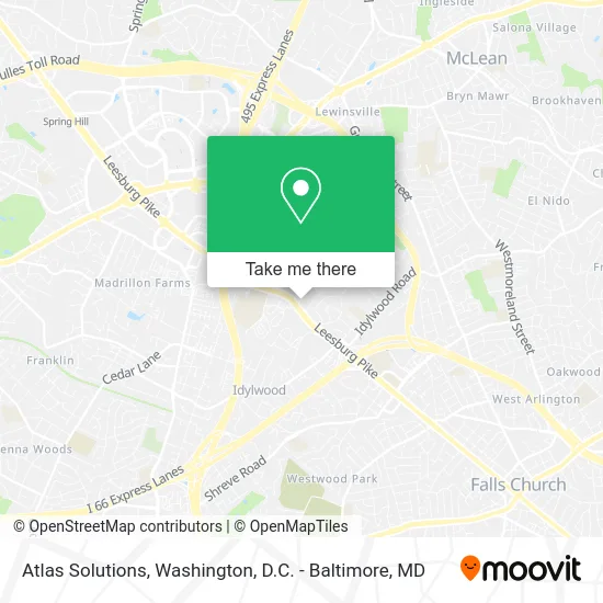
See Atlas Solutions, Fairfax County, on the map
Public Transit to Atlas Solutions in Fairfax County
Wondering how to get to Atlas Solutions in Fairfax County? Moovit helps you find the best way to get to Atlas Solutions with step-by-step directions from the nearest public transit station.
Moovit provides free maps and live directions to help you navigate through your city. View schedules, routes, timetables, and find out how long does it take to get to Atlas Solutions in real time.
Looking for the nearest stop or station to Atlas Solutions? Check out this list of stops closest to your destination: Leesburg Pk+Dominion Dr; Pimmit @ Leesburg; Tysons Corner Metro; West Falls Church-Vt.
Bus: F20, 703.Metro: ORANGE, SILVER.
Want to see if there’s another route that gets you there at an earlier time? Moovit helps you find alternative routes or times. Get directions from and directions to Atlas Solutions easily from the Moovit App or Website.
We make riding to Atlas Solutions easy, which is why over 1.5 million users, including users in Fairfax County, trust Moovit as the best app for public transit. You don’t need to download an individual bus app or train app, Moovit is your all-in-one transit app that helps you find the best bus time or train time available.
For information on prices of bus and metro, costs and ride fares to Atlas Solutions, please check the Moovit app.
Use the app to navigate to popular places including to the airport, hospital, stadium, grocery store, mall, coffee shop, school, college, and university.
Atlas Solutions Address: 2042 Peach Orchard Dr Falls Church, VA 22043 street in Fairfax County
- Tysons-Pimmit Regional Library,
- USPS,
- We Recycle Trees,
- First Response Mortgages,
- Home Care Assistance,
- Geriatric Care Management,
- Express Employment Professionals,
- RE/MAX,
- Hair by Aileen,
- Credit Union 1,
- Alister Falls Church Apartments,
- Taim,
- Blazin Chicken & Gyro,
- Veterinary Emergency Group,
- Oakley,
- Spaisnan Elliot,
- Ahmed al-Sayyad, Od,
- Range Repair Appliance Service,
- Chicken Salad Chick,
- Amazon Counter at Whole Foods Market
Places Near Atlas Solutions (Fairfax County)
- The Anthem, Washington,
- Washington DC VA Medical Center, Washington,
- Rock Creek Tennis Center, Washington,
- National Mall, Washington,
- Pennsylvania Ave NW (3rd st and pennsylvania), Washington,
- Warner Theatre, Washington,
- National Museum of African American History and Culture, Washington,
- National Zoo, Washington,
- Westfield Montgomery Mall, Montgomery County,
- Camden Yards, Baltimore,
- Museum Of The Bible, Washington,
- M&T Bank Stadium, Baltimore,
- Sibley Memorial Hospital, Washington,
- PG Mall, Prince George's County,
- Marriott Marquis Washington, DC, Washington,
- Capital One Arena, Washington,
- Georgetown, Washington,
- Washington National Cathedral, Washington,
- Amazon Hq2, Arlington County,
- Basilica of the National Shrine, Washington
How to get to popular places in Washington, D.C. - Baltimore, MD with public transit
Get around Fairfax County by public transit!
Traveling around Fairfax County has never been so easy. See step by step directions as you travel to any attraction, street or major public transit station. View bus and train schedules, arrival times, service alerts and detailed routes on a map, so you know exactly how to get to anywhere in Fairfax County.
When traveling to any destination around Fairfax County use Moovit's Live Directions with Get Off Notifications to know exactly where and how far to walk, how long to wait for your line, and how many stops are left. Moovit will alert you when it's time to get off — no need to constantly re-check whether yours is the next stop.
Wondering how to use public transit in Fairfax County or how to pay for public transit in Fairfax County? Moovit public transit app can help you navigate your way with public transit easily, and at minimum cost. It includes public transit fees, ticket prices, and costs. Looking for a map of Fairfax County public transit lines? Moovit public transit app shows all public transit maps in Fairfax County with all Bus, Train, Metro, Light Rail and Ferry routes and stops on an interactive map.
Washington, D.C. - Baltimore, MD has 5 transit type(s), including: Bus, Train, Metro, Light Rail and Ferry, operated by several transit agencies, including WMATA, Montgomery County Ride On, Fairfax Connector, TheBus, PRTC, DASH - Alexandria, Arlington Transit (ART), RTA of Central Maryland, MDOT MTA, MDOT MTA Light RailLink, MDOT MTA Commuter Bus, MDOT MTA Local Bus, FXBGO!, Virginia Railway Express (VRE) and MARC