How to get to Atm by bus?
Click on the bus route to see step by step directions with maps, line arrival times and updated time schedules.
From NW 37th Ave, Miami
81 minFrom Camillus House, Miami
79 minFrom South Miami Hospital Victor E. Clark Building, Miami
50 minFrom Rubell Museum, Miami
56 minFrom Edgewater, Miami
66 minFrom The Salvation Army, Miami
53 minFrom MDT Metrorail - Hialeah Station, Hialeah
59 minFrom Spin Group, North Westside
59 minFrom Miami Escorts, Miami Beach
81 minFrom 120 Beach max omni Bus terminal, Miami
65 min
How to get to Atm by train?
Click on the train route to see step by step directions with maps, line arrival times and updated time schedules.
Bus stops near Atm in Miami
Train station near Atm in Miami
- University, 5 min walk,VIEW
Bus lines to Atm in Miami
What are the closest stations to Atm?
The closest stations to Atm are:
- Sw 37 Av & Coral Way is 179 yards away, 3 min walk.
- Merrick Wy & Aragon Av is 185 yards away, 3 min walk.
- Ponce De Leon Blvd@miracle Mile is 341 yards away, 5 min walk.
- University is 386 yards away, 5 min walk.
Which bus lines stop near Atm?
These bus lines stop near Atm: 24, 37, CGABLE, MIACOR.
Which train lines stop near Atm?
These train lines stop near Atm: GREEN, ORANGE.
What’s the nearest train station to Atm in Miami?
The nearest train station to Atm in Miami is University. It’s a 5 min walk away.
What’s the nearest bus station to Atm in Miami?
The nearest bus stations to Atm in Miami are Sw 37 Av & Coral Way and Merrick Wy & Aragon Av. The closest one is a 3 min walk away.
What time is the first train to Atm in Miami?
The GREEN is the first train that goes to Atm in Miami. It stops nearby at 5:06 AM.
What time is the last train to Atm in Miami?
The GREEN is the last train that goes to Atm in Miami. It stops nearby at 12:58 AM.
What time is the first bus to Atm in Miami?
The 37 is the first bus that goes to Atm in Miami. It stops nearby at 4:30 AM.
What time is the last bus to Atm in Miami?
The 37 is the last bus that goes to Atm in Miami. It stops nearby at 1:36 AM.
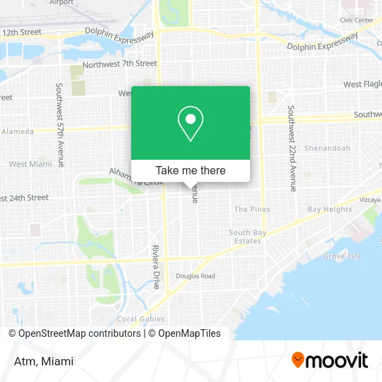
See Atm, Miami, on the map
Public Transit to Atm in Miami
Wondering how to get to Atm in Miami? Moovit helps you find the best way to get to Atm with step-by-step directions from the nearest public transit station.
Moovit provides free maps and live directions to help you navigate through your city. View schedules, routes, timetables, and find out how long does it take to get to Atm in real time.
Looking for the nearest stop or station to Atm? Check out this list of stops closest to your destination: Sw 37 Av & Coral Way; Merrick Wy & Aragon Av; Ponce De Leon Blvd@miracle Mile; University.
Bus: 24, 37, CGABLE, MIACOR, CGABDT.Train: GREEN, ORANGE.
Want to see if there’s another route that gets you there at an earlier time? Moovit helps you find alternative routes or times. Get directions from and directions to Atm easily from the Moovit App or Website.
We make riding to Atm easy, which is why over 1.5 million users, including users in Miami, trust Moovit as the best app for public transit. You don’t need to download an individual bus app or train app, Moovit is your all-in-one transit app that helps you find the best bus time or train time available.
For information on prices of bus, train and light rail, costs and ride fares to Atm, please check the Moovit app.
Use the app to navigate to popular places including to the airport, hospital, stadium, grocery store, mall, coffee shop, school, college, and university.
Atm Address: 55 Miracle Mile Miami, FL 33134 street in Miami
- Jensen Laura - Navigators Insurance,
- Plucked Strings Music,
- USPS,
- Location in Naples,
- Nandog Pet Gear,
- Jolure Beauty Atelier,
- Legacy Fit - Coral Gables,
- Miracle Mile & Downtown Coral Gables,
- Coral Gables,
- The Hairy Ape Hair Designing,
- La Cocina Deli & Bakery,
- Spy World (Spy Store),
- Miller's Ale House,
- H&R Block,
- Easy Online Booking for New,
- Master Lock & Key Store,
- We Simply the Internet,
- Sweet,
- Raquel Martinez - Luxe Properties,
- Ross Dress for Less
Places Near Atm (Miami)
- 1351 NW 12th St, Miami,
- Wynwood, Miami,
- Keiser University Flagship Campus, West Palm Beach,
- Miami Freedom Park, Miami,
- Miami Design District, Miami,
- Port of Miami Cruise Terminal, Miami,
- Aventura Mall, Miami Beach,
- Dolphin Mall, Miami,
- Sawgrass mall ( FL ), Miami Beach,
- Brickell City Centre, Miami,
- Aventura Mall, Miami,
- Dolphin Mall Bus, Miami,
- Hard Rock Stadium, Miami Gardens,
- Richard E. Gerstein Justice Building, Miami,
- Zoo Miami, Miami,
- Miami-Dade County Courthouse, Miami,
- Marlins Park, Miami,
- Bayside Marketplace, Miami,
- Little Havana, Miami,
- Sawgrass Mall, Miami
How to get to popular places in Miami with public transit
Get around Miami by public transit!
Traveling around Miami has never been so easy. See step by step directions as you travel to any attraction, street or major public transit station. View bus and train schedules, arrival times, service alerts and detailed routes on a map, so you know exactly how to get to anywhere in Miami.
When traveling to any destination around Miami use Moovit's Live Directions with Get Off Notifications to know exactly where and how far to walk, how long to wait for your line, and how many stops are left. Moovit will alert you when it's time to get off — no need to constantly re-check whether yours is the next stop.
Wondering how to use public transit in Miami or how to pay for public transit in Miami? Moovit public transit app can help you navigate your way with public transit easily, and at minimum cost. It includes public transit fees, ticket prices, and costs. Looking for a map of Miami public transit lines? Moovit public transit app shows all public transit maps in Miami with all Bus, Train, Light Rail and Ferry routes and stops on an interactive map.
Miami has 4 transit type(s), including: Bus, Train, Light Rail and Ferry, operated by several transit agencies, including Broward County Transit, Miami-Dade Transit, Metrorail, Palm Tran, Tri-Rail, Brightline, MARTY, City of Homestead Trolley, Key West Transit, Treasure Coast Connector, GoLine IRT, Amtrak, Greyhound-us, FlixBus-us and Aventura Express Shuttle Bus