How to get to August Connection by bus?
Click on the bus route to see step by step directions with maps, line arrival times and updated time schedules.
From League of Christian Laymen, Wyoming
48 minFrom Moka Roots Coffee House, Kentwood
47 minFrom LL Flooring - Closing Soon, Kentwood
40 minFrom Allstate Personal Financial Representative: Bryan Burkey, Kentwood
44 minFrom FedEx, Grand Rapids
41 minFrom Tackle and Field, Grandville
56 minFrom Amazon Fulfillment Center-DGR1, Walker
44 minFrom Correct Mechanical Svc, Grandville
57 minFrom ATM, Walker
30 minFrom Kent Isd Conference Center, Grand Rapids
47 min
Bus stops near August Connection in Grand Rapids
Train station near August Connection in Grand Rapids
- Grand Rapids Vernon J. Ehlers Station, 41 min walk,VIEW
Bus lines to August Connection in Grand Rapids
What are the closest stations to August Connection?
The closest stations to August Connection are:
- Division/Bartlett (Sb) is 87 yards away, 2 min walk.
- Wealthy/Division (Wb) is 174 yards away, 3 min walk.
- Wealthy Street Station (Sb) is 244 yards away, 3 min walk.
- Cherry/Commerce (Wb) is 383 yards away, 5 min walk.
- Commerce/Cherry (Sb) is 412 yards away, 5 min walk.
- Grand Rapids Vernon J. Ehlers Station is 3485 yards away, 41 min walk.
Which bus lines stop near August Connection?
These bus lines stop near August Connection: 1, 15, 5, 51, 90.
What’s the nearest bus station to August Connection in Grand Rapids?
The nearest bus station to August Connection in Grand Rapids is Division/Bartlett (Sb). It’s a 2 min walk away.
What time is the first train to August Connection in Grand Rapids?
The PERE MARQUETTE is the first train that goes to August Connection in Grand Rapids. It stops nearby at 6:00 AM.
What time is the last train to August Connection in Grand Rapids?
The PERE MARQUETTE is the last train that goes to August Connection in Grand Rapids. It stops nearby at 11:34 PM.
What time is the first bus to August Connection in Grand Rapids?
The 4 is the first bus that goes to August Connection in Grand Rapids. It stops nearby at 4:46 AM.
What time is the last bus to August Connection in Grand Rapids?
The 51 is the last bus that goes to August Connection in Grand Rapids. It stops nearby at 12:09 AM.
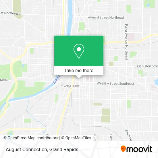
See August Connection, Grand Rapids, on the map
Public Transit to August Connection in Grand Rapids
Wondering how to get to August Connection in Grand Rapids? Moovit helps you find the best way to get to August Connection with step-by-step directions from the nearest public transit station.
Moovit provides free maps and live directions to help you navigate through your city. View schedules, routes, timetables, and find out how long does it take to get to August Connection in real time.
Looking for the nearest stop or station to August Connection? Check out this list of stops closest to your destination: Division/Bartlett (Sb); Wealthy/Division (Wb); Wealthy Street Station (Sb); Cherry/Commerce (Wb); Commerce/Cherry (Sb); Grand Rapids Vernon J. Ehlers Station.
Bus: 1, 15, 5, 51, 90, 2, 4.Train: PERE MARQUETTE.
Want to see if there’s another route that gets you there at an earlier time? Moovit helps you find alternative routes or times. Get directions from and directions to August Connection easily from the Moovit App or Website.
We make riding to August Connection easy, which is why over 1.5 million users, including users in Grand Rapids, trust Moovit as the best app for public transit. You don’t need to download an individual bus app or train app, Moovit is your all-in-one transit app that helps you find the best bus time or train time available.
For information on prices of bus, costs and ride fares to August Connection, please check the Moovit app.
Use the app to navigate to popular places including to the airport, hospital, stadium, grocery store, mall, coffee shop, school, college, and university.
August Connection Address: 325 Division Ave S Grand Rapids, MI 49503 street in Grand Rapids
- The Pop Up Shop-GR,
- Cocoon Art Space,
- Smashlab,
- Mercy Health Infusion Services Cathedral Square,
- Catholic Foundation of West Michigan,
- Otono,
- Color Forest,
- Pine Rest Mental Health,
- My Sisters House,
- Eagle Eye Tattoo,
- Commerce Courtyard Apartments,
- Peterlen Garden,
- Vanhouten Lauren W Pa - Vanhouten, Lauren W Pa,
- Ministerio Hispano - Diócesis de Grand Rapids,
- Bethlehem Intergenerational Center,
- GR Current,
- Gaspard,
- Abood Law Firm,
- Professional Fitness Consulting,
- Zabház
Places Near August Connection (Grand Rapids)
- Wyoming, Wyoming,
- Woodland Mall, Kentwood,
- University of Michigan Health Metro Health Hospital, Wyoming,
- John Ball Zoo, Grand Rapids,
- Byron Center,
- Gerald R. Ford International Airport (GRR) (Gerald R. Ford International Airport),
- YMCA - David D. Hunting, Grand Rapids,
- 68th Street Southwest, Grand Rapids,
- Union High School, Grand Rapids,
- Blodgett Hospital, East Grand Rapids,
- Van Andel Arena-DeVos Place Skywalk, Grand Rapids,
- Van Andel Arena, Grand Rapids,
- Frederik Meijer Gardens, Grand Rapids,
- Metro Cascade,
- Grand Rapids Community College, Grand Rapids,
- Helel DeVos Children's Hospital Food Court, Grand Rapids,
- Kent County Courthouse, Grand Rapids,
- Spectrum Health-Blodgett Hospital, East Grand Rapids,
- Spectrum Health Butterworth Hospital, Grand Rapids,
- Hudsonville
How to get to popular places in Grand Rapids with public transit
Get around Grand Rapids by public transit!
Traveling around Grand Rapids has never been so easy. See step by step directions as you travel to any attraction, street or major public transit station. View bus and train schedules, arrival times, service alerts and detailed routes on a map, so you know exactly how to get to anywhere in Grand Rapids.
When traveling to any destination around Grand Rapids use Moovit's Live Directions with Get Off Notifications to know exactly where and how far to walk, how long to wait for your line, and how many stops are left. Moovit will alert you when it's time to get off — no need to constantly re-check whether yours is the next stop.
Wondering how to use public transit in Grand Rapids or how to pay for public transit in Grand Rapids? Moovit public transit app can help you navigate your way with public transit easily, and at minimum cost. It includes public transit fees, ticket prices, and costs. Looking for a map of Grand Rapids public transit lines? Moovit public transit app shows all public transit maps in Grand Rapids with all Bus and Train routes and stops on an interactive map.
Grand Rapids has 2 transit type(s), including: Bus and Train, operated by several transit agencies, including The Rapid, Amtrak and FlixBus-us