How to get to Auto Brake by bus?
Click on the bus route to see step by step directions with maps, line arrival times and updated time schedules.
Bus stops near Auto Brake in Norfolk
Bus lines to Auto Brake in Norfolk
What are the closest stations to Auto Brake?
The closest stations to Auto Brake are:
- Sewells Point & Avenue I is 218 yards away, 3 min walk.
- Little Creek & Sewells Point is 409 yards away, 6 min walk.
- Little Creek Rd & Old Ocean View is 558 yards away, 8 min walk.
- Evelyn Butts & Avenue J is 748 yards away, 10 min walk.
Which bus lines stop near Auto Brake?
These bus lines stop near Auto Brake: 015, 021, 961.
What’s the nearest bus station to Auto Brake in Norfolk?
The nearest bus station to Auto Brake in Norfolk is Sewells Point & Avenue I. It’s a 3 min walk away.
What time is the first bus to Auto Brake in Norfolk?
The 961 is the first bus that goes to Auto Brake in Norfolk. It stops nearby at 4:50 AM.
What time is the last bus to Auto Brake in Norfolk?
The 021 is the last bus that goes to Auto Brake in Norfolk. It stops nearby at 1:37 AM.
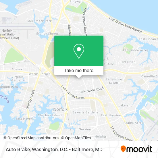
See Auto Brake, Norfolk, on the map
Public Transit to Auto Brake in Norfolk
Wondering how to get to Auto Brake in Norfolk? Moovit helps you find the best way to get to Auto Brake with step-by-step directions from the nearest public transit station.
Moovit provides free maps and live directions to help you navigate through your city. View schedules, routes, timetables, and find out how long does it take to get to Auto Brake in real time.
Looking for the nearest stop or station to Auto Brake? Check out this list of stops closest to your destination: Sewells Point & Avenue I; Little Creek & Sewells Point; Little Creek Rd & Old Ocean View; Evelyn Butts & Avenue J.
Bus: 015, 021, 961, 009, 008, 005, 003.
Want to see if there’s another route that gets you there at an earlier time? Moovit helps you find alternative routes or times. Get directions from and directions to Auto Brake easily from the Moovit App or Website.
We make riding to Auto Brake easy, which is why over 1.5 million users, including users in Norfolk, trust Moovit as the best app for public transit. You don’t need to download an individual bus app or train app, Moovit is your all-in-one transit app that helps you find the best bus time or train time available.
For information on prices of bus, costs and ride fares to Auto Brake, please check the Moovit app.
Use the app to navigate to popular places including to the airport, hospital, stadium, grocery store, mall, coffee shop, school, college, and university.
Auto Brake Address: 7512 Avenue J Norfolk, VA 23513 street in Norfolk
- Airkem Tidewater,
- Performance Unlimited,
- Jessico,
- Walker & Laberge Company,
- Glass Protection Service,
- City of Norfolk,
- Norfolk Police Department Third Patrol,
- Hayat Chiropractic,
- Somnium Crossfit,
- US Medical,
- Grace Hospice of Virginia,
- Parsons Norfolk,
- Schwartzer Joseph S MD - Schwartzer, Joseph S MD,
- Visiting Physicians Association,
- Pinnacle Senior Care,
- Innova Systems International,
- Health Center Hampton Road Community,
- Forte Bill J MD - Forte, Bill J MD,
- Northrop Grumman,
- CWP Insurance Advisors
Places Near Auto Brake (Norfolk)
- National Mall, Washington,
- Capital One Arena, Washington,
- Warner Theatre, Washington,
- M&T Bank Stadium, Baltimore,
- Marriott Marquis Washington, DC, Washington,
- PG Mall, Prince George's County,
- Westfield Montgomery Mall, Montgomery County,
- Washington DC VA Medical Center, Washington,
- Amazon Hq2, Arlington County,
- The Anthem, Washington,
- Sibley Memorial Hospital, Washington,
- Basilica of the National Shrine, Washington,
- National Zoo, Washington,
- Camden Yards, Baltimore,
- National Museum of African American History and Culture, Washington,
- Museum Of The Bible, Washington,
- Washington National Cathedral, Washington,
- Rock Creek Tennis Center, Washington,
- Georgetown, Washington,
- Pennsylvania Ave NW (3rd st and pennsylvania), Washington
How to get to popular places in Washington, D.C. - Baltimore, MD with public transit
Get around Norfolk by public transit!
Traveling around Norfolk has never been so easy. See step by step directions as you travel to any attraction, street or major public transit station. View bus and train schedules, arrival times, service alerts and detailed routes on a map, so you know exactly how to get to anywhere in Norfolk.
When traveling to any destination around Norfolk use Moovit's Live Directions with Get Off Notifications to know exactly where and how far to walk, how long to wait for your line, and how many stops are left. Moovit will alert you when it's time to get off — no need to constantly re-check whether yours is the next stop.
Wondering how to use public transit in Norfolk or how to pay for public transit in Norfolk? Moovit public transit app can help you navigate your way with public transit easily, and at minimum cost. It includes public transit fees, ticket prices, and costs. Looking for a map of Norfolk public transit lines? Moovit public transit app shows all public transit maps in Norfolk with all Bus, Train, Metro, Light Rail and Ferry routes and stops on an interactive map.
Washington, D.C. - Baltimore, MD has 5 transit type(s), including: Bus, Train, Metro, Light Rail and Ferry, operated by several transit agencies, including WMATA, Montgomery County Ride On, Fairfax Connector, TheBus, PRTC, DASH - Alexandria, Arlington Transit (ART), RTA of Central Maryland, MDOT MTA, MDOT MTA Light RailLink, MDOT MTA Commuter Bus, MDOT MTA Local Bus, FXBGO!, Virginia Railway Express (VRE) and MARC