How to get to Auto Sweden by bus?
Click on the bus route to see step by step directions with maps, line arrival times and updated time schedules.
From The Haul (Haulover Clothing Optional Beach - Lifeguard Tower #14), Miami Beach
63 minFrom Zoo Miami, Miami
31 minFrom NW 163rd St / NW 57th Ave, Miami
73 minFrom Pembroke Pines, FL, Miramar-Pembroke Pines
59 minFrom Hollywood Beach Boardwalk, Hollywood
60 minFrom Tides Ocean View Apartment, Hollywood
58 minFrom Sunny Isles Beach, Miami Beach
61 minFrom Hollywood Beach, Hollywood
59 minFrom S/120 Bus Stop, Miami Beach
63 minFrom Fort Lauderdale airport terminal 3 Jet Blue, Hollywood
60 min
Bus stops near Auto Sweden in Miami Gardens
Bus lines to Auto Sweden in Miami Gardens
What are the closest stations to Auto Sweden?
The closest stations to Auto Sweden are:
- US 441/Northwest 207th Street is 280 yards away, 4 min walk.
- Nw 204 St & Nw 2 Av is 538 yards away, 7 min walk.
- Us 441/Nw 215 S - (County Line Rd) is 647 yards away, 9 min walk.
Which bus lines stop near Auto Sweden?
These bus lines stop near Auto Sweden: 18, 199.
What’s the nearest bus station to Auto Sweden in Miami Gardens?
The nearest bus station to Auto Sweden in Miami Gardens is US 441/Northwest 207th Street. It’s a 4 min walk away.
What time is the first bus to Auto Sweden in Miami Gardens?
The 441 is the first bus that goes to Auto Sweden in Miami Gardens. It stops nearby at 5:04 AM.
What time is the last bus to Auto Sweden in Miami Gardens?
The 18 is the last bus that goes to Auto Sweden in Miami Gardens. It stops nearby at 12:47 AM.
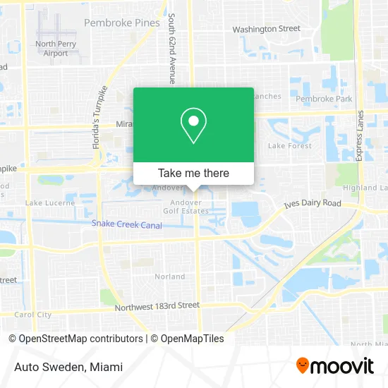
See Auto Sweden, Miami Gardens, on the map
Public Transit to Auto Sweden in Miami Gardens
Wondering how to get to Auto Sweden in Miami Gardens? Moovit helps you find the best way to get to Auto Sweden with step-by-step directions from the nearest public transit station.
Moovit provides free maps and live directions to help you navigate through your city. View schedules, routes, timetables, and find out how long does it take to get to Auto Sweden in real time.
Looking for the nearest stop or station to Auto Sweden? Check out this list of stops closest to your destination: US 441/Northwest 207th Street; Nw 204 St & Nw 2 Av; Us 441/Nw 215 S - (County Line Rd).
Bus: 18, 199, 441.
Want to see if there’s another route that gets you there at an earlier time? Moovit helps you find alternative routes or times. Get directions from and directions to Auto Sweden easily from the Moovit App or Website.
We make riding to Auto Sweden easy, which is why over 1.5 million users, including users in Miami Gardens, trust Moovit as the best app for public transit. You don’t need to download an individual bus app or train app, Moovit is your all-in-one transit app that helps you find the best bus time or train time available.
For information on prices of bus, costs and ride fares to Auto Sweden, please check the Moovit app.
Use the app to navigate to popular places including to the airport, hospital, stadium, grocery store, mall, coffee shop, school, college, and university.
Auto Sweden Address: 20800 NW 2nd Ave Miami, FL 33169 street in Miami Gardens
- Turo,
- Motorcars Leasing,
- Tesla,
- Northwest 2nd Avenue & Northwest 209th Street,
- Chen Senior Medical Center,
- Miami Girl Beauty Supply,
- Ashraf Halal Meat Center and West Indian Grocery,
- Rebel,
- Konata's Restaurant,
- Miami Gardens Medical,
- Popeyes LOUISIANA KITCHEN,
- ISUZU Service Facility,
- Heaven Bound Apostolic Church,
- Pleasure Emporium,
- Dear Mom Foods,
- Unified Hints,
- Mam Therapeutic Services,
- Restoration Power Ministry,
- Immaqulit Cuisine,
- O'Neil Brian
Places Near Auto Sweden (Miami Gardens)
- Aventura Mall, Miami Beach,
- Miami Design District, Miami,
- Sawgrass Mall, Miami,
- Dolphin Mall Bus, Miami,
- 1351 NW 12th St, Miami,
- Hard Rock Stadium, Miami Gardens,
- Brickell City Centre, Miami,
- Keiser University Flagship Campus, West Palm Beach,
- Richard E. Gerstein Justice Building, Miami,
- Miami Freedom Park, Miami,
- Aventura Mall, Miami,
- Zoo Miami, Miami,
- Port of Miami Cruise Terminal, Miami,
- Wynwood, Miami,
- Marlins Park, Miami,
- Dolphin Mall, Miami,
- Sawgrass mall ( FL ), Miami Beach,
- Little Havana, Miami,
- Miami-Dade County Courthouse, Miami,
- Bayside Marketplace, Miami
How to get to popular places in Miami with public transit
Get around Miami Gardens by public transit!
Traveling around Miami Gardens has never been so easy. See step by step directions as you travel to any attraction, street or major public transit station. View bus and train schedules, arrival times, service alerts and detailed routes on a map, so you know exactly how to get to anywhere in Miami Gardens.
When traveling to any destination around Miami Gardens use Moovit's Live Directions with Get Off Notifications to know exactly where and how far to walk, how long to wait for your line, and how many stops are left. Moovit will alert you when it's time to get off — no need to constantly re-check whether yours is the next stop.
Wondering how to use public transit in Miami Gardens or how to pay for public transit in Miami Gardens? Moovit public transit app can help you navigate your way with public transit easily, and at minimum cost. It includes public transit fees, ticket prices, and costs. Looking for a map of Miami Gardens public transit lines? Moovit public transit app shows all public transit maps in Miami Gardens with all Bus, Train, Light Rail and Ferry routes and stops on an interactive map.
Miami has 4 transit type(s), including: Bus, Train, Light Rail and Ferry, operated by several transit agencies, including Broward County Transit, Miami-Dade Transit, Metrorail, Palm Tran, Tri-Rail, Brightline, MARTY, City of Homestead Trolley, Key West Transit, Treasure Coast Connector, GoLine IRT, Amtrak, Greyhound-us, FlixBus-us and Aventura Express Shuttle Bus