How to get to Autosalg Forus by bus?
Click on the bus route to see step by step directions with maps, line arrival times and updated time schedules.
From Lagårdsveien 78-80, Stavanger
24 minFrom Landstreffet, Sandnes
62 minFrom Ullandhaug, Stavanger
31 minFrom Thon Partner Stavanger Forum Hotel, Stavanger
42 minFrom Kongeparken, Sandnes
64 minFrom Forum Expo, Stavanger
41 minFrom Hundvåg, Stavanger
51 minFrom Solastranden, Sola
59 minFrom Utstein Kloster, Rennesøy
78 minFrom Øksnevad Vgs, Klepp
57 min
How to get to Autosalg Forus by train?
Click on the train route to see step by step directions with maps, line arrival times and updated time schedules.
Bus stops near Autosalg Forus in Stavanger
Train station near Autosalg Forus in Stavanger
- Jåttåvågen Stasjon, 40 min walk,VIEW
Bus lines to Autosalg Forus in Stavanger
What are the closest stations to Autosalg Forus?
The closest stations to Autosalg Forus are:
- Gamle Forusveien is 216 meters away, 4 min walk.
- Gausel Stasjon is 504 meters away, 7 min walk.
- Jåttåvågen Stasjon is 3058 meters away, 40 min walk.
Which bus lines stop near Autosalg Forus?
These bus lines stop near Autosalg Forus: 2, 3, 6.
Which train line stops near Autosalg Forus?
L5 (Egersund)
What’s the nearest bus station to Autosalg Forus in Stavanger?
The nearest bus station to Autosalg Forus in Stavanger is Gamle Forusveien. It’s a 4 min walk away.
What time is the first train to Autosalg Forus in Stavanger?
The L5 is the first train that goes to Autosalg Forus in Stavanger. It stops nearby at 9:00 AM.
What time is the last train to Autosalg Forus in Stavanger?
The L5 is the last train that goes to Autosalg Forus in Stavanger. It stops nearby at 12:04 AM.
What time is the first bus to Autosalg Forus in Stavanger?
The N84 is the first bus that goes to Autosalg Forus in Stavanger. It stops nearby at 3:00 AM.
What time is the last bus to Autosalg Forus in Stavanger?
The 2 is the last bus that goes to Autosalg Forus in Stavanger. It stops nearby at 3:48 AM.
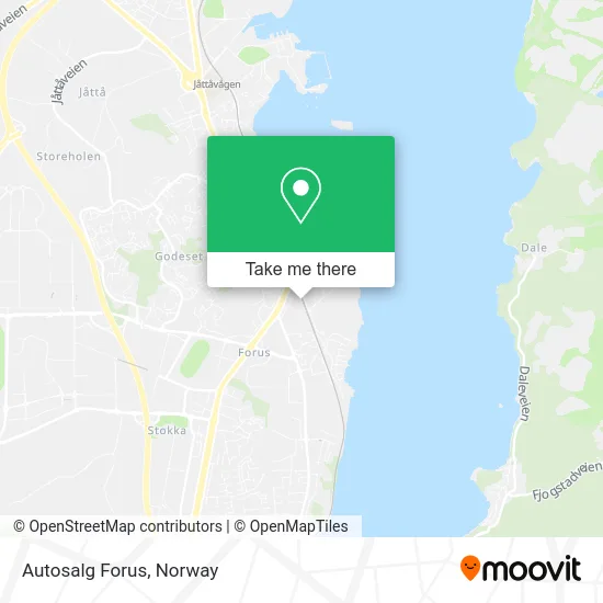
See Autosalg Forus, Stavanger, on the map
Public Transit to Autosalg Forus in Stavanger
Wondering how to get to Autosalg Forus in Stavanger? Moovit helps you find the best way to get to Autosalg Forus with step-by-step directions from the nearest public transit station.
Moovit provides free maps and live directions to help you navigate through your city. View schedules, routes, timetables, and find out how long does it take to get to Autosalg Forus in real time.
Looking for the nearest stop or station to Autosalg Forus? Check out this list of stops closest to your destination: Gamle Forusveien; Gausel Stasjon; Jåttåvågen Stasjon.
Bus: 2, 3, 6, 67, N84, L5.Train: L5, F5.
Want to see if there’s another route that gets you there at an earlier time? Moovit helps you find alternative routes or times. Get directions from and directions to Autosalg Forus easily from the Moovit App or Website.
We make riding to Autosalg Forus easy, which is why over 1.5 million users, including users in Stavanger, trust Moovit as the best app for public transit. You don’t need to download an individual bus app or train app, Moovit is your all-in-one transit app that helps you find the best bus time or train time available.
For information on prices of bus and train, costs and ride fares to Autosalg Forus, please check the Moovit app.
Use the app to navigate to popular places including to the airport, hospital, stadium, grocery store, mall, coffee shop, school, college, and university.
Autosalg Forus Address: Heiamyrå 16B 4031 Stavanger street in Stavanger
- Bilbyen Bilpleie,
- Mariusz Kostrzewa,
- Felgfix,
- Dynamo Logistikk,
- Ølberggården AS,
- Meling Jonas H AS,
- Autograf AS,
- Maxbo Proff Stavanger,
- Elcor As Stavanger,
- Iss Facility Services AS Avd Renhold Stavanger,
- Spar,
- Bbeaute Studio,
- Toma Facility AS Avd Strandsvingen,
- Elevarbeid Blom,
- Gamle Forusvei 12 Holding,
- Aanestad Service,
- Hausken Tekniske,
- Soma Ryttersportsklubb,
- Og Service AS,
- Mykhalova Mass
Places Near Autosalg Forus (Stavanger)
- Nylandsbrua, Oslo,
- Ullevål Stadion (T), Oslo,
- Haukeland Universitetssjukehus, Bergen,
- IKEA, Oslo,
- Quality Hotel Edvard Grieg, Bergen,
- Ulriken, Bergen,
- Tyholttårnet, Trondheim,
- DFDS Seaways, Oslo,
- Rikshospitalet (trikk), Oslo,
- Voldsløkka, Oslo,
- Color Line Terminal, Oslo,
- Ikea Leangen, Trondheim,
- Radiumhospitalet, Oslo,
- Jekta Storsenter, Tromsø,
- Bjerke Travbane, Oslo,
- Oslo S spor 19 (Trelastgata), Oslo,
- Drammen Sykehus, Drammen,
- Lovisenberg Diakonale Sykehus, Oslo,
- Vestby Outlet Store, Vestby,
- IKEA, Bergen
How to get to popular places in Norway with public transit
Get around Stavanger by public transit!
Traveling around Stavanger has never been so easy. See step by step directions as you travel to any attraction, street or major public transit station. View bus and train schedules, arrival times, service alerts and detailed routes on a map, so you know exactly how to get to anywhere in Stavanger.
When traveling to any destination around Stavanger use Moovit's Live Directions with Get Off Notifications to know exactly where and how far to walk, how long to wait for your line, and how many stops are left. Moovit will alert you when it's time to get off — no need to constantly re-check whether yours is the next stop.
Wondering how to use public transit in Stavanger or how to pay for public transit in Stavanger? Moovit public transit app can help you navigate your way with public transit easily, and at minimum cost. It includes public transit fees, ticket prices, and costs. Looking for a map of Stavanger public transit lines? Moovit public transit app shows all public transit maps in Stavanger with all Bus, Train, Subway, Light Rail, Ferry and Cable Car routes and stops on an interactive map.
Norway has 6 transit type(s), including: Bus, Train, Subway, Light Rail, Ferry and Cable Car, operated by several transit agencies, including Ruter, Skyss, AtB, Flytoget, Vy Tåg, SJ, Go-Ahead Norge AS, SJ Nord, Vestfold Kollektivtrafikk as, Snelandia, Innlandstrafikk, FRAM, FlixBus, Kolumbus and Brakar