How to get to Awe-N-Vow by bus?
Click on the bus route to see step by step directions with maps, line arrival times and updated time schedules.
From Monster Truck Ice Cream Truck, Pacific Ave, Wildwood Crest, Nj
103 minFrom Gunnison Beach, Highlands
321 minFrom Freehold, NJ, Freehold
230 minFrom PNC Bank Arts Center, Holmdel
262 minFrom Pop Pop Park Park Pl, Atlantic City
21 minFrom Amdur Ambulatory Care Center, Neptune
308 minFrom Long Branch Beach & Boardwalk, Long Branch
323 minFrom Toms River, NJ, Toms River
129 min
Bus stops near Awe-N-Vow in Pleasantville
Train station near Awe-N-Vow in Pleasantville
- Absecon, 23 min walk,VIEW
Bus lines to Awe-N-Vow in Pleasantville
What are the closest stations to Awe-N-Vow?
The closest stations to Awe-N-Vow are:
- Main St at Pleasant Ave is 212 yards away, 3 min walk.
- W Jersey Ave at Main St is 254 yards away, 4 min walk.
- Absecon is 1939 yards away, 23 min walk.
Which bus lines stop near Awe-N-Vow?
These bus lines stop near Awe-N-Vow: 502, 509, 554, 559.
What’s the nearest train station to Awe-N-Vow in Pleasantville?
The nearest train station to Awe-N-Vow in Pleasantville is Absecon. It’s a 23 min walk away.
What’s the nearest bus station to Awe-N-Vow in Pleasantville?
The nearest bus station to Awe-N-Vow in Pleasantville is Main St at Pleasant Ave. It’s a 3 min walk away.
What time is the first train to Awe-N-Vow in Pleasantville?
The ACRL is the first train that goes to Awe-N-Vow in Pleasantville. It stops nearby at 4:22 AM.
What time is the last train to Awe-N-Vow in Pleasantville?
The ACRL is the last train that goes to Awe-N-Vow in Pleasantville. It stops nearby at 2:11 AM.
What time is the first bus to Awe-N-Vow in Pleasantville?
The 507 is the first bus that goes to Awe-N-Vow in Pleasantville. It stops nearby at 3:16 AM.
What time is the last bus to Awe-N-Vow in Pleasantville?
The 559 is the last bus that goes to Awe-N-Vow in Pleasantville. It stops nearby at 4:53 AM.
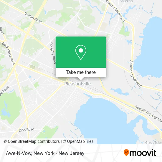
See Awe-N-Vow, Pleasantville, on the map
Public Transit to Awe-N-Vow in Pleasantville
Wondering how to get to Awe-N-Vow in Pleasantville? Moovit helps you find the best way to get to Awe-N-Vow with step-by-step directions from the nearest public transit station.
Moovit provides free maps and live directions to help you navigate through your city. View schedules, routes, timetables, and find out how long does it take to get to Awe-N-Vow in real time.
Looking for the nearest stop or station to Awe-N-Vow? Check out this list of stops closest to your destination: Main St at Pleasant Ave; W Jersey Ave at Main St; Absecon.
Bus: 502, 509, 554, 559, 508, 507, 553.Train: ACRL.
Want to see if there’s another route that gets you there at an earlier time? Moovit helps you find alternative routes or times. Get directions from and directions to Awe-N-Vow easily from the Moovit App or Website.
We make riding to Awe-N-Vow easy, which is why over 1.5 million users, including users in Pleasantville, trust Moovit as the best app for public transit. You don’t need to download an individual bus app or train app, Moovit is your all-in-one transit app that helps you find the best bus time or train time available.
For information on prices of bus and train, costs and ride fares to Awe-N-Vow, please check the Moovit app.
Use the app to navigate to popular places including to the airport, hospital, stadium, grocery store, mall, coffee shop, school, college, and university.
Awe-N-Vow Address: 26 N Main St Pleasantville, NJ 08232 street in Pleasantville
- Pan Dulce Mexicano,
- Hankin Sandman Palladino Weintrob & Bell, P.C.,
- Fiesta Oaxaquena,
- Lisbeth J Beauty Salon,
- La Putlequita Llc,
- Doris Salon,
- Doris's House of Beauty II,
- El Paraiso Hondureno,
- Thuy Land Gold,
- Best Bail Bonds Llc,
- La Beauty Rose Studio by Olga Yepes,
- Richard L Press Llc & Associates,
- One Stop Career Center,
- Western Union,
- Drug Rehab Pleasantville,
- Hop Shing,
- Vibe 609 Radio,
- Latino Restaurant and Bar,
- Ideal Nutrition,
- Unemployment Office
Places Near Awe-N-Vow (Pleasantville)
- Bellevue Hospital, Manhattan,
- Hudson Yards, Manhattan,
- 1 Police Plaza, Manhattan,
- Mountainside Hospital, Glen Ridge,
- Katz's Deli, Manhattan,
- SoHo, Manhattan,
- Wall Street, Manhattan,
- 26 Federal Plaza, Manhattan,
- Pier 83, Manhattan,
- 111 Centre New York City Supreme Court, Manhattan,
- Queens Center Mall, Queens,
- Chinatown, Manhattan,
- 376 Hudson Street, Manhattan,
- 911 Memorial, Manhattan,
- San Gennaro Feast, Manhattan,
- qqqq, Manhattan,
- 3 Stone St, Manhattan,
- Times Square, Manhattan,
- Rockefeller Center, Manhattan,
- 66 John Street, Manhattan
How to get to popular places in New York - New Jersey with public transit
Get around Pleasantville by public transit!
Traveling around Pleasantville has never been so easy. See step by step directions as you travel to any attraction, street or major public transit station. View bus and train schedules, arrival times, service alerts and detailed routes on a map, so you know exactly how to get to anywhere in Pleasantville.
When traveling to any destination around Pleasantville use Moovit's Live Directions with Get Off Notifications to know exactly where and how far to walk, how long to wait for your line, and how many stops are left. Moovit will alert you when it's time to get off — no need to constantly re-check whether yours is the next stop.
Wondering how to use public transit in Pleasantville or how to pay for public transit in Pleasantville? Moovit public transit app can help you navigate your way with public transit easily, and at minimum cost. It includes public transit fees, ticket prices, and costs. Looking for a map of Pleasantville public transit lines? Moovit public transit app shows all public transit maps in Pleasantville with all Bus, Train, Subway, Light Rail, Ferry and Cable Car routes and stops on an interactive map.
New York - New Jersey has 6 transit type(s), including: Bus, Train, Subway, Light Rail, Ferry and Cable Car, operated by several transit agencies, including MTA Subway, Metro-North Railroad, LIRR, PATH, MTA New York City Transit - Express routes, MTA Bus, NJ Transit, NYC Ferry, NICE bus, Bee-Line Bus, NJ Transit Rail, Norwalk Transit District, Hartford Line, River Valley Transit and HART