How to get to Azawya by bus?
Click on the bus route to see step by step directions with maps, line arrival times and updated time schedules.
From Frutería Origen Vegeta, Miguelturra
48 minFrom Calle de Camilo José Cela, Ciudad Real
22 minFrom Depaso, Miguelturra
50 minFrom Estación de Servicio Cruz de Mayo, Ciudad Real
18 minFrom San Isidro, Miguelturra
72 minFrom Carretera de Porzuna, Ciudad Real
20 minFrom I.E.S Campo De Calatrava, Miguelturra
50 minFrom Pabellón A. Díaz Miguel, Miguelturra
43 minFrom Calle San Antón, Ciudad Real
36 min
Bus stops near Azawya in Pío Xii-Santa María
Bus lines to Azawya in Pío Xii-Santa María
What are the closest stations to Azawya?
The closest stations to Azawya are:
- Calle Marcelo Colino is 35 meters away, 1 min walk.
- Ronda Alarcos 22 is 216 meters away, 4 min walk.
- Plaza Juan 23 is 270 meters away, 4 min walk.
- Plaza Juan XXIII is 314 meters away, 5 min walk.
Which bus lines stop near Azawya?
These bus lines stop near Azawya: 1A, 2, 6.
What’s the nearest bus station to Azawya in Pío Xii-Santa María?
The nearest bus station to Azawya in Pío Xii-Santa María is Calle Marcelo Colino. It’s a 1 min walk away.
What time is the first bus to Azawya in Pío Xii-Santa María?
The 2 is the first bus that goes to Azawya in Pío Xii-Santa María. It stops nearby at 6:06 AM.
What time is the last bus to Azawya in Pío Xii-Santa María?
The 2 is the last bus that goes to Azawya in Pío Xii-Santa María. It stops nearby at 12:07 AM.
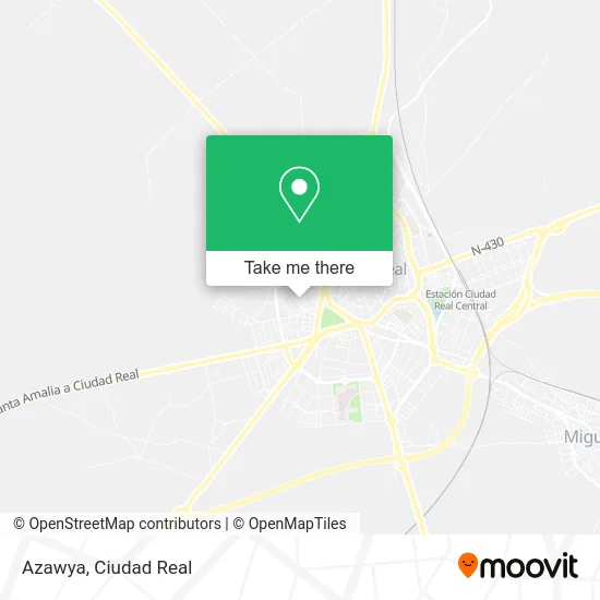
See Azawya, Pío Xii-Santa María, on the map
Public Transit to Azawya in Pío Xii-Santa María
Wondering how to get to Azawya in Pío Xii-Santa María? Moovit helps you find the best way to get to Azawya with step-by-step directions from the nearest public transit station.
Moovit provides free maps and live directions to help you navigate through your city. View schedules, routes, timetables, and find out how long does it take to get to Azawya in real time.
Looking for the nearest stop or station to Azawya? Check out this list of stops closest to your destination: Calle Marcelo Colino; Ronda Alarcos 22; Plaza Juan 23; Plaza Juan XXIII.
Bus: 1A, 2, 6, 4, 1B.
Want to see if there’s another route that gets you there at an earlier time? Moovit helps you find alternative routes or times. Get directions from and directions to Azawya easily from the Moovit App or Website.
We make riding to Azawya easy, which is why over 1.5 million users, including users in Pío Xii-Santa María, trust Moovit as the best app for public transit. You don’t need to download an individual bus app or train app, Moovit is your all-in-one transit app that helps you find the best bus time or train time available.
For information on prices of bus, costs and ride fares to Azawya, please check the Moovit app.
Use the app to navigate to popular places including to the airport, hospital, stadium, grocery store, mall, coffee shop, school, college, and university.
Azawya Address: Calle José de Ribera, 8 13002 Ciudad Real street in Pío Xii-Santa María
- Mesón-Bar Las Jarras,
- Restaurante Casa Manolo,
- Bar Casa Manolo,
- Cooperativa Viviendas Protegidas Hermandad Ferroviaria,
- A'Pares,
- Bar Alisos,
- Bar Cervantes,
- Borja Ciudad Real,
- Repostería Hermanos Herrera,
- Cañas y Tapas,
- Bar D.Rony,
- Bar Susi,
- Mariela Eugenia Medina Espinosa,
- Antonio,
- Afilados y Rectificados C V,
- Restauraciones El Tragón,
- Reformas y Construcciones Rafer,
- Cortefiel,
- Calle Yáñez de Almedina,
- Sotkatt
Places Near Azawya (Pío Xii-Santa María)
- E.Leclerc Ciudad Real, Ciudad Real,
- Plaza Escultor Joaquín García Donaire, El Pilar,
- Leroy Merlín Compact, Larache,
- UCLM Campus Ciudad Real, Ciudad Real,
- Avda. de las Ciencias s/n, Ciudad Real,
- Calle Parque de Gasset 4, Ciudad Real,
- Calle Severo Ochoa 13, Ciudad Real,
- Aulario Polivalente (Ed. Juan de Mariana), Ciudad Real,
- Hospital General, Ciudad Real,
- Polideportivo Juan Carlos I, Ciudad Real,
- Hospital General De Ciudad Real, Nuevo Hospital,
- Polígono Industrial Avanzado, Ciudad Real,
- Feria de Ciudad Real, Ciudad Real,
- Hospital Quirónsalud Ciudad Real, Ciudad Jardín,
- Cerro De Alarcos, Ciudad Real,
- Decathlon Ciudad Real, Nuevo Parque,
- Recinto Ferial, La Granja,
- Playapark Parque Acuático Ciudad Real, Pta. Toledo-Atalaya,
- Decathlon, Nuevo Parque,
- Centro Comercial Puerta del Ave, Nuevo Parque
How to get to popular places in Ciudad Real with public transit
Get around Pío Xii-Santa María by public transit!
Traveling around Pío Xii-Santa María has never been so easy. See step by step directions as you travel to any attraction, street or major public transit station. View bus and train schedules, arrival times, service alerts and detailed routes on a map, so you know exactly how to get to anywhere in Pío Xii-Santa María.
When traveling to any destination around Pío Xii-Santa María use Moovit's Live Directions with Get Off Notifications to know exactly where and how far to walk, how long to wait for your line, and how many stops are left. Moovit will alert you when it's time to get off — no need to constantly re-check whether yours is the next stop.
Wondering how to use public transit in Pío Xii-Santa María or how to pay for public transit in Pío Xii-Santa María? Moovit public transit app can help you navigate your way with public transit easily, and at minimum cost. It includes public transit fees, ticket prices, and costs. Looking for a map of Pío Xii-Santa María public transit lines? Moovit public transit app shows all public transit maps in Pío Xii-Santa María with all bus routes and stops on an interactive map.
Ciudad Real has 1 transit type(s), including: bus, operated by several transit agencies, including Aisa, Interbus, Aibus, Autobuses Arteaga, Transporte urbano de Valdepeñas, Samar, Rubiocar and Bogasbus