Directions to Azul Textil (Puebla) with public transportation
The following transit lines have routes that pass near Azul Textil
 Bus: RUTA M21.
How to get to Azul Textil by bus?
Click on the bus route to see step by step directions with maps, line arrival times and updated time schedules.
From SNTE Sección 23, San Pedro Cholula
63 minFrom clinica 13 imss, San Andrés Cholula
61 minFrom Hospital de especialidades ISSSTEP, Puebla
47 minFrom Quecholac Cuellar, luz Maria, San Pedro Cholula
61 minFrom Camión Directo Puebla-Cholula, San Andrés Cholula
51 minFrom Fraccionamiento San José Vista Hermosa, San Andrés Cholula
54 minFrom Lateral Recta a Cholula, San Andrés Cholula
57 minFrom Flor Batavia, Puebla
71 minFrom CME UNIVERSIDAD Centro Mexicano de Especialidades, San Andrés Cholula
54 minFrom Centro Comercial Angelópolis, San Andrés Cholula
59 min
Bus stop near Azul Textil in Puebla
- Resurrección Poniente, 2a, 2 min walk,VIEW
Bus lines to Azul Textil in Puebla
- RUTA M21, Ramal 3, Industrial Resurección - De Santiago,VIEW
What are the closest stations to Azul Textil?
The closest stations to Azul Textil are:
- Resurrección Poniente, 2a is 129 meters away, 2 min walk.
Which bus line stops near Azul Textil?
RUTA M21 (Ramal 3, Industrial Resurección - De Santiago)
What’s the nearest bus station to Azul Textil in Puebla?
The nearest bus station to Azul Textil in Puebla is Resurrección Poniente, 2a. It’s a 2 min walk away.
What time is the first bus to Azul Textil in Puebla?
The RUTA M21 is the first bus that goes to Azul Textil in Puebla. It stops nearby at 6:00 AM.
What time is the last bus to Azul Textil in Puebla?
The RUTA M21 is the last bus that goes to Azul Textil in Puebla. It stops nearby at 10:59 PM.
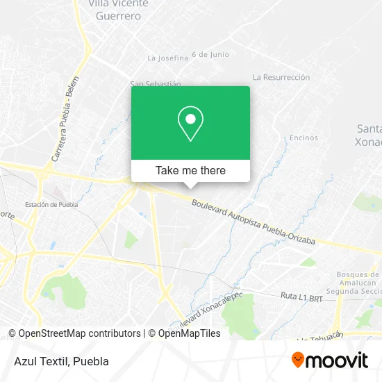
See Azul Textil, Puebla, on the map
Public Transit to Azul Textil in Puebla
Wondering how to get to Azul Textil in Puebla? Moovit helps you find the best way to get to Azul Textil with step-by-step directions from the nearest public transit station.
Moovit provides free maps and live directions to help you navigate through your city. View schedules, routes, timetables, and find out how long does it take to get to Azul Textil in real time.
Looking for the nearest stop or station to Azul Textil? Check out this list of stops closest to your destination: Resurrección Poniente.
Bus: RUTA M21.
Want to see if there’s another route that gets you there at an earlier time? Moovit helps you find alternative routes or times. Get directions from and directions to Azul Textil easily from the Moovit App or Website.
We make riding to Azul Textil easy, which is why over 1.5 million users, including users in Puebla, trust Moovit as the best app for public transit. You don’t need to download an individual bus app or train app, Moovit is your all-in-one transit app that helps you find the best bus time or train time available.
For information on prices of bus, costs and ride fares to Azul Textil, please check the Moovit app.
Use the app to navigate to popular places including to the airport, hospital, stadium, grocery store, mall, coffee shop, school, college, and university.
Azul Textil Address: Azul Textil, Calle Resurrección Poniente, Zona Industrial Resurrección, 72227 Puebla, Puebla street in Puebla
- Tienda de Fabrica the World of Baby Mink,
- Planta Lunkomex,
- Gas Oriente Puebla,
- Industrial Resurrección,
- Tres Guerras,
- Ecodeli Comercial,
- Sabormex,
- Flex N Gate Puebla,
- Sabormex Puebla,
- Clemente Jacques,
- Parque Industrial Chachapa,
- Comedores Industriales,
- American plastics Air temp,
- Parque Industrial,
- Compañia Comercial Herdez,
- BANCO NACIONAL DE MEXICO S A,
- Ferrero de México SA de CV,
- Via Pet,
- LuK Puebla,
- Centro de Distribución Oriente, S.A. de C.V.
Places Near Azul Textil (Puebla)
- Plaza Dorada Centro Comercial, Puebla,
- Complejo Cultural Universitario, Ocoyucan,
- SAT, San Andrés Cholula,
- Centro de Desarrollo Comunitario Tres Cruces, Puebla,
- Estadio Cuauhtémoc, Puebla,
- Hospital General Regional 36 IMSS San Alejandro, San Andrés Cholula,
- Galerías Serdán, San Pedro Cholula,
- Tres Cruces, Puebla,
- Hospital Imss La Margarita, Puebla,
- Plaza Las Animas, Puebla,
- 25 Zona Militar, Puebla,
- Centro Comercial Angelópolis, San Andrés Cholula,
- Ciudad Universitaria, Puebla,
- Hospital Traumatología y Ortopedia de Puebla, San Pedro Cholula,
- Centro Integral de Servicios CIS, San Andrés Cholula,
- Parque Ecologico, Pue., San Andrés Cholula,
- Parque Puebla, Puebla,
- Zona de los Fuertes, Puebla,
- Ciudad Judicial del Estado de Puebla, San Andrés Cholula,
- Secretaria de Finanzas, Puebla
How to get to popular places in Puebla with public transit
Get around Puebla by public transit!
Traveling around Puebla has never been so easy. See step by step directions as you travel to any attraction, street or major public transit station. View bus and train schedules, arrival times, service alerts and detailed routes on a map, so you know exactly how to get to anywhere in Puebla.
When traveling to any destination around Puebla use Moovit's Live Directions with Get Off Notifications to know exactly where and how far to walk, how long to wait for your line, and how many stops are left. Moovit will alert you when it's time to get off — no need to constantly re-check whether yours is the next stop.
Wondering how to use public transit in Puebla or how to pay for public transit in Puebla? Moovit public transit app can help you navigate your way with public transit easily, and at minimum cost. It includes public transit fees, ticket prices, and costs. Looking for a map of Puebla public transit lines? Moovit public transit app shows all public transit maps in Puebla with all bus routes and stops on an interactive map.
Puebla has 1 transit type(s), including: bus, operated by several transit agencies, including RUTA, RUTA Alimentadoras, Rutas Convencionales and Líneas temporales