How to get to BCP by bus?
Click on the bus route to see step by step directions with maps, line arrival times and updated time schedules.
From Urbanización Mangomarca San Juan de Lurigancho, San Juan D
70 minFrom Municipalidad de Santa Anita, Santa Anit
40 minFrom Universidad Agraria La Molina, La Molina
37 minFrom Sunat, La Molina
29 minFrom RENIEC, Santa Anit
45 minFrom Mall Aventura Plaza Santa Anita, Santa Anit
44 minFrom Clínica Montefiori, La Molina
38 minFrom Universidad de San Martín de Porres - USMP, Santa Anit
43 minFrom Urb Mariscal Caceres Mz R Lt 14 Av Central San Juan de Lurigancho, San Juan D
104 minFrom AVENIDA LA MOLINA CON JAVIER PRADO, La Molina
82 min
Bus stops near BCP in Ate
Bus lines to BCP in Ate
What are the closest stations to BCP?
The closest stations to BCP are:
- Julio Cesar Tello 487 is 203 meters away, 3 min walk.
- Grifo El Sol is 249 meters away, 4 min walk.
- Mariano Melgar Con Daniel Alcides Carrion is 465 meters away, 6 min walk.
Which bus lines stop near BCP?
These bus lines stop near BCP: 1261, 1395, CR25, CR44.
What’s the nearest bus station to BCP in Ate?
The nearest bus station to BCP in Ate is Julio Cesar Tello 487. It’s a 3 min walk away.
What time is the first bus to BCP in Ate?
The 1360 is the first bus that goes to BCP in Ate. It stops nearby at 3:36 AM.
What time is the last bus to BCP in Ate?
The 1281 is the last bus that goes to BCP in Ate. It stops nearby at 11:53 PM.
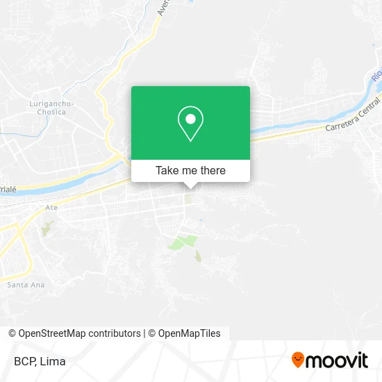
See BCP, Ate, on the map
Public Transit to BCP in Ate
Wondering how to get to BCP in Ate? Moovit helps you find the best way to get to BCP with step-by-step directions from the nearest public transit station.
Moovit provides free maps and live directions to help you navigate through your city. View schedules, routes, timetables, and find out how long does it take to get to BCP in real time.
Looking for the nearest stop or station to BCP? Check out this list of stops closest to your destination: Julio Cesar Tello 487; Grifo El Sol; Mariano Melgar Con Daniel Alcides Carrion.
Bus: 1261, 1395, CR25, CR44, 2407, 1281, 1360.
Want to see if there’s another route that gets you there at an earlier time? Moovit helps you find alternative routes or times. Get directions from and directions to BCP easily from the Moovit App or Website.
We make riding to BCP easy, which is why over 1.5 million users, including users in Ate, trust Moovit as the best app for public transit. You don’t need to download an individual bus app or train app, Moovit is your all-in-one transit app that helps you find the best bus time or train time available.
For information on prices of bus, costs and ride fares to BCP, please check the Moovit app.
Use the app to navigate to popular places including to the airport, hospital, stadium, grocery store, mall, coffee shop, school, college, and university.
BCP Address: Jirón Cahuide Centro Poblado Santa Clara, 15487 Ate street in Ate
- Parroquia Santuario Señor de los Milagros de Huaral,
- CUADRA 8 AV MIGUEL GRAU ESQUINA CON CUDRA 4 DE CALLE JULIO C TELLO,
- Institución Educativa Inicial Mi Casita Blanca,
- Ubanizacion Niño Jesus 3ra etapa Mz E Lt 4 Santa Clara Ate,
- av miguel grau,
- Esquina Cdra 8 Av Miguel Grau Cruce con Cdra 4 de Calle Julio C Tello La Estrella de Santa Clara,
- Jr. Cahuide,
- I. E. I. 141,
- Cdra 4 de la calle Julio C Tello Santa Clara Ate A 3 cuadras de la plaza principal de Santa C,
- SINCHI ROCA MZ A LT 5 ATE,
- Parque El Sol De Santa Clara,
- Jesús De Nazaret,
- Mujeres Jovenes - Barrio San Gregorio Vitarte,
- Iglesia Mormón,
- I. E. La Sagrada Familia,
- Institución Educativa La Sagrada Familia,
- Colegio San Alfonso,
- Fabrica Textil Santa Clara,
- Niño Jesús de Santa Clara 1ra Etapa,
- ie telesforo catacora
Places Near BCP (Ate)
- Parque de las Leyendas, San Miguel,
- Paradero Av.Brasil,
- Av. La Marina, San Miguel,
- Barranco, Barranco,
- Av. Salaverry, Jesus Mari,
- Parque Kennedy, Miraflores,
- Jockey Plaza, Santiago D,
- Plaza San Miguel, San Miguel,
- av arequipa, Lima,
- Hospital Edgardo Rebagliati Martins, Jesus Mari,
- Mall Del Sur,
- Gamarra,
- Real Plaza Puruchuco, Ate,
- Av. Abancay, Lima,
- Larcomar, Miraflores,
- Miraflores, Miraflores,
- Circuito Mágico Del Agua, Lima,
- Pontificia Universidad Católica del Perú - PUCP, San Miguel,
- Centro Comercial Plaza Norte, Independen,
- Aeropuerto Internacional Jorge Chávez, Ventanilla
How to get to popular places in Lima with public transit
Get around Ate by public transit!
Traveling around Ate has never been so easy. See step by step directions as you travel to any attraction, street or major public transit station. View bus and train schedules, arrival times, service alerts and detailed routes on a map, so you know exactly how to get to anywhere in Ate.
When traveling to any destination around Ate use Moovit's Live Directions with Get Off Notifications to know exactly where and how far to walk, how long to wait for your line, and how many stops are left. Moovit will alert you when it's time to get off — no need to constantly re-check whether yours is the next stop.
Wondering how to use public transit in Ate or how to pay for public transit in Ate? Moovit public transit app can help you navigate your way with public transit easily, and at minimum cost. It includes public transit fees, ticket prices, and costs. Looking for a map of Ate public transit lines? Moovit public transit app shows all public transit maps in Ate with all Bus, Metro and Ferry routes and stops on an interactive map.
Lima has 3 transit type(s), including: Bus, Metro and Ferry, operated by several transit agencies, including Metro de Lima Línea 2 , Metro de Lima, Corredor Rojo, Metropolitano, Metropolitano - Alimentadores, Corredor Morado, Corredor Azul, Rutas Tradicionales, Transportes y Servicios La Esperanza S.A., Las Flores S.A., Virgen de la Asunción S.A., Consorcio HAM, Transportes y Service Canadá S.A., ETUL4SA and ETUCHISA