BCR TRS at BUS TRM stop - Wednesday schedule
| Line | Direction | Time |
|---|---|---|
| 2 | Rt 2 Northbound | 5:51 AM |
| 94 | Rt 94 Southbound | 6:10 AM |
| 2 | Rt 2 Northbound | 6:16 AM |
| 2 | Rt 2 Southbound | 6:18 AM |
| 94 | Rt 94 Northbound | 6:32 AM |
| 94 | Rt 94 Southbound To Fau | 6:40 AM |
| 94 | Rt 94 Southbound | 6:45 AM |
| 2 | Rt 2 Northbound | 6:46 AM |
| 2 | Rt 2 Southbound | 6:48 AM |
| 94 | Rt 94 Northbound | 7:02 AM |
| 2 | Rt 2 Southbound | 7:10 AM |
| 94 | Rt 94 Southbound To Fau | 7:10 AM |
| 94 | Rt 94 Northbound | 7:10 AM |
| 2 | Rt 2 Northbound | 7:15 AM |
| 94 | Rt 94 Southbound | 7:15 AM |
| 94 | Rt 94 Northbound | 7:32 AM |
| 94 | Rt 94 Southbound To Fau | 7:40 AM |
| 2 | Rt 2 Northbound | 7:45 AM |
| 94 | Rt 94 Northbound | 7:45 AM |
| 2 | Rt 2 Southbound | 7:47 AM |
| 94 | Rt 94 Southbound | 7:50 AM |
| 94 | Rt 94 Northbound | 8:02 AM |
| 94 | Rt 94 Southbound To Fau | 8:10 AM |
| 2 | Rt 2 Northbound | 8:13 AM |
| 94 | Rt 94 Northbound | 8:25 AM |
Directions to BCR TRS at BUS TRM stop (Boca Raton) with public transit
The following transit lines have routes that pass near BCR TRS at BUS TRM
 Bus: 2, 94, GREYHOUND US0710S.
- Train: TRIRAIL, BLFM.
How to get to BCR TRS at BUS TRM stop by bus?
Click on the bus route to see step by step directions with maps, line arrival times and updated time schedules.
How to get to BCR TRS at BUS TRM stop by train?
Click on the train route to see step by step directions with maps, line arrival times and updated time schedules.
Bus stops near BCR TRS at BUS TRM stop in Boca Raton
- Boca Raton Trirail Station, 8 min walk,
- YAMATO RD at CONGRESS AVE, 8 min walk,
Train stations near BCR TRS at BUS TRM station in Boca Raton
- Boca Raton Station, 8 min walk,
- Boca Raton, 11 min walk,
Bus lines to BCR TRS at BUS TRM stop in Boca Raton
- GREYHOUND US0710S, Jacksonville (Downtown),
- 2, Rt 2 Northbound,
What are the closest stations to BCR TRS at BUS TRM?
The closest stations to BCR TRS at BUS TRM are:
- Boca Raton Trirail Station is 597 yards away, 8 min walk.
- YAMATO RD at CONGRESS AVE is 612 yards away, 8 min walk.
- Boca Raton Station is 622 yards away, 8 min walk.
- Boca Raton is 865 yards away, 11 min walk.
Which bus lines stop near BCR TRS at BUS TRM?
These bus lines stop near BCR TRS at BUS TRM: 2, 94.
Which train line stops near BCR TRS at BUS TRM?
TRIRAIL (Northbound To Mangonia Park)
What’s the nearest train station to BCR TRS at BUS TRM in Boca Raton?
The nearest train station to BCR TRS at BUS TRM in Boca Raton is Boca Raton Station. It’s a 8 min walk away.
What’s the nearest bus station to BCR TRS at BUS TRM in Boca Raton?
The nearest bus stations to BCR TRS at BUS TRM in Boca Raton are Boca Raton Trirail Station and YAMATO RD at CONGRESS AVE. The closest one is a 8 min walk away.
BCR TRS at BUS TRM station
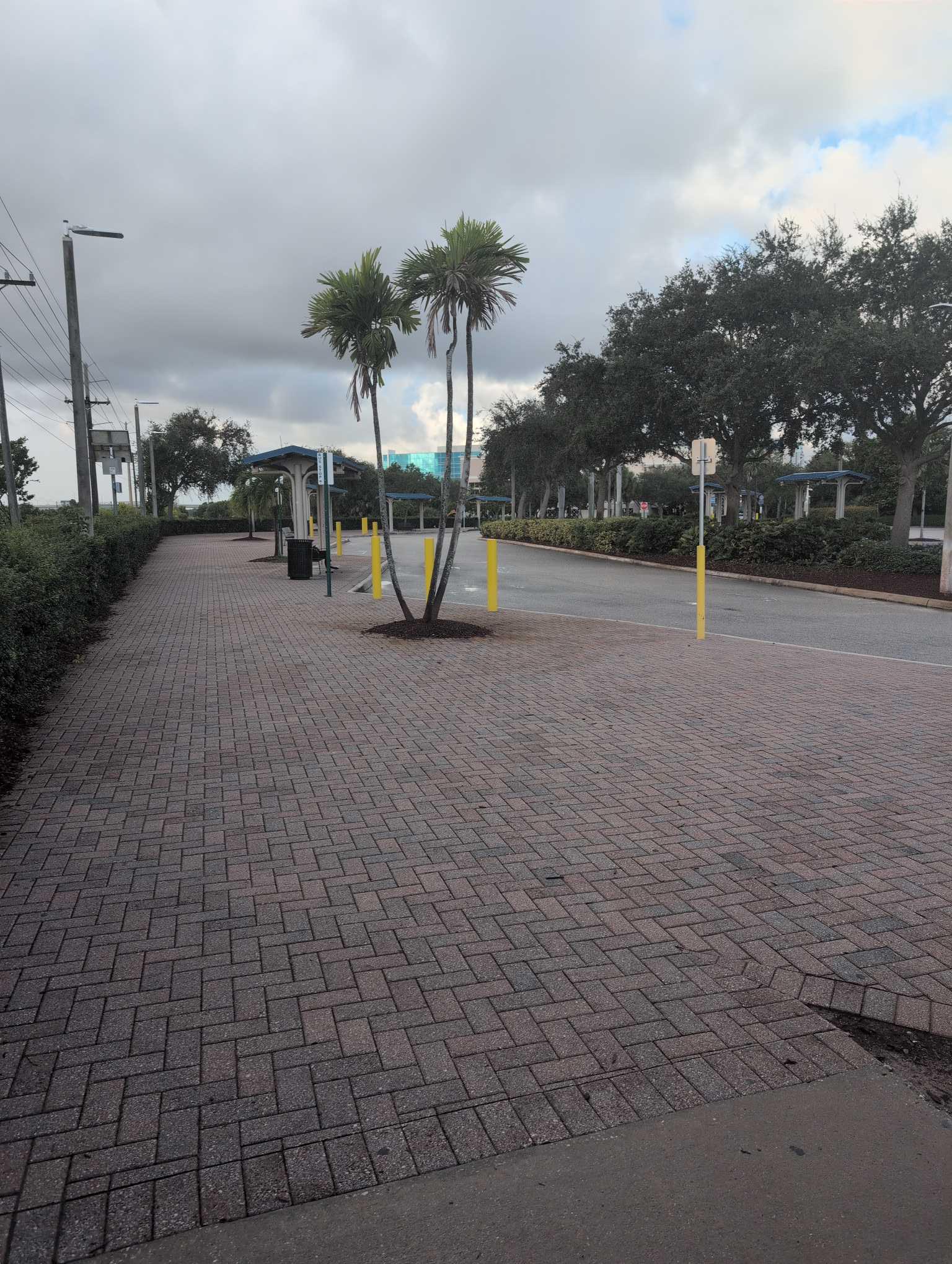 Taken by Anonymous
See BCR TRS at BUS TRM stop, Boca Raton, on the map
Public transit to BCR TRS at BUS TRM stop (ID: 729) in Boca Raton
Looking for directions to BCR TRS at BUS TRM in Boca Raton, United States?
Download the Moovit App to find the current schedule and step-by-step directions for Bus or Train routes that pass through BCR TRS at BUS TRM.
Looking for the nearest stops closest to BCR TRS at BUS TRM ? Check out this list of closest stops to your destination: Boca Raton Trirail Station; YAMATO RD at CONGRESS AVE; Boca Raton Station; Boca Raton.
Bus: 2, 94, GREYHOUND US0710S.Train: TRIRAIL, BLFM.
We make riding on public transit to BCR TRS at BUS TRM easy, which is why over 1.5 million users, including users in Boca Raton trust Moovit as the best app for public transit.
Use the app to navigate to popular places including to the airport, hospital, stadium, grocery store, mall, coffee shop, school, college, and university.
BCR TRS at BUS TRM stop’s code is 729
The first line to this stop is 2, at 5:51 AM, and the last line is 2 at 9:45 PM.
This stop serves Palm Tran’s lines
Popular routes from BCR TRS at BUS TRM stop, Boca Raton
- Boca Raton Trirail Station,
- YAMATO RD at CONGRESS AVE
Bus stops near BCR TRS at BUS TRM stop
- Boca Raton Station,
- Boca Raton
Train stations near BCR TRS at BUS TRM station
- MILITARY TRL at ATLANTIC AVE,
- Collins Av & 5500 Blk,
- W Flagler St & Nw 43 Av,
- Ne 125 St @ Ne 10 Av,
- WPB ITC at BAY G,
- Biscayne Bd @ Ne 25 St,
- Sw 91st St @ Sw 162nd Ave,
- Southeast 1st Avenue/Southeast 2nd Street,
- Nw 87 Ct & 114 St,
- Nw 57 Av & Nw 167 St,
- College of the Florida Keys,
- Riverside Drive/Northwest 44th Court,
- US-441/SR-7 at SANDALFOOT BLVD,
- At Mercy Hospital @ Mercy Wy Exit,
- Sw 147 Av & Sw 294 St,
- Allapattah Station,
- 45TH ST at EMBARCADERO,
- Truman Ave & Windsor Lane,
- SW Gatlin Blvd & SW Dakota St,
- Nw 36 St & 82 Av
Popular public transit stations in Boca Raton
Get around Boca Raton by public transit!
Traveling around Boca Raton has never been so easy. See step by step directions as you travel to any attraction, street or major public transit station. View bus and train schedules, arrival times, service alerts and detailed routes on a map, so you know exactly how to get to anywhere in Boca Raton.
When traveling to any destination around Boca Raton use Moovit's Live Directions with Get Off Notifications to know exactly where and how far to walk, how long to wait for your line, and how many stops are left. Moovit will alert you when it's time to get off — no need to constantly re-check whether yours is the next stop.
Wondering how to use public transit in Boca Raton or how to pay for public transit in Boca Raton? Moovit public transit app can help you navigate your way with public transit easily, and at minimum cost. It includes public transit fees, ticket prices, and costs. Looking for a map of Boca Raton public transit lines? Moovit public transit app shows all public transit maps in Boca Raton with all Bus, Train, Light Rail and Ferry routes and stops on an interactive map.
Miami has 4 transit type(s), including: Bus, Train, Light Rail and Ferry, operated by several transit agencies, including Broward County Transit, Miami-Dade Transit, Metrorail, Palm Tran, Tri-Rail, Brightline, MARTY, City of Homestead Trolley, Key West Transit, Treasure Coast Connector, GoLine IRT, Amtrak, Greyhound-us, FlixBus-us and Aventura Express Shuttle Bus