Directions to BHC Management (Richmond) with public transportation
The following transit lines have routes that pass near BHC Management
 Bus: 14, 3B, FLIXBUS N2601, BRT, 3A.
- Train: NORTHEAST REGIONAL.
How to get to BHC Management by bus?
Click on the bus route to see step by step directions with maps, line arrival times and updated time schedules.
From Rose Gaming Resort, Prince William County
226 minFrom Lorton, VA, Fairfax County
210 minFrom Hampton University, Hampton
298 minFrom Potomac Mills Mall, Prince William County
201 minFrom Busch Gardens Williamsburg (Employee Parking Lot), James City County
142 minFrom Lorton, VA - Amtrak Auto Train Station (LOR), Fairfax County
216 minFrom UVA Hospital Medical Center, Charlottesville
290 minFrom Amazon Fulfillment Center-Ric3, Richmond
49 minFrom Woodbridge, VA, Prince William County
145 min
How to get to BHC Management by train?
Click on the train route to see step by step directions with maps, line arrival times and updated time schedules.
Bus stops near BHC Management in Richmond
Train station near BHC Management in Richmond
- Pathrichmond Main Street Amtrak Station, 12 min walk,VIEW
Bus lines to BHC Management in Richmond
- BRT, Broad/Main/Rocketts,VIEW
- 3A, U.S. 1/Highland Park,VIEW
- 3B, U.S. 1/Brightpoint,VIEW
- 3C, U.S. 1/Harwood,VIEW
- 14, Hermitage/Azalea,VIEW
- 50, Broad/Downtown,VIEW
- 78, Cary/Colorado/Downtown,VIEW
- 87, Hopkins/Bellemeade/Downtown,VIEW
- 2B, Jahnke/Forest Hill/North Ave,VIEW
- 2C, Semmes/Midlothian/Belt Blvd,VIEW
- 1, Chamberlayne/Azalea,VIEW
- 2A, Forest Hill/North Ave,VIEW
- 5, Main/Cary,VIEW
What are the closest stations to BHC Management?
The closest stations to BHC Management are:
- Arts District Westbound Station is 68 yards away, 2 min walk.
- Broad & Adams is 128 yards away, 2 min walk.
- 2nd & Franklin is 194 yards away, 3 min walk.
- Broad & 2nd is 198 yards away, 3 min walk.
- 3rd & Marshall is 315 yards away, 4 min walk.
- 2nd + Marshall is 347 yards away, 5 min walk.
- Main & 1st is 404 yards away, 5 min walk.
- Pathrichmond Main Street Amtrak Station is 957 yards away, 12 min walk.
Which bus lines stop near BHC Management?
These bus lines stop near BHC Management: 14, 3B, FLIXBUS N2601.
Which train line stops near BHC Management?
NORTHEAST REGIONAL (Newport News)
What’s the nearest train station to BHC Management in Richmond?
The nearest train station to BHC Management in Richmond is Pathrichmond Main Street Amtrak Station. It’s a 12 min walk away.
What’s the nearest bus station to BHC Management in Richmond?
The nearest bus stations to BHC Management in Richmond are Arts District Westbound Station and Broad & Adams. The closest one is a 2 min walk away.
What time is the first train to BHC Management in Richmond?
The NORTHEAST REGIONAL is the first train that goes to BHC Management in Richmond. It stops nearby at 5:19 AM.
What time is the last train to BHC Management in Richmond?
The NORTHEAST REGIONAL is the last train that goes to BHC Management in Richmond. It stops nearby at 6:52 PM.
What time is the first bus to BHC Management in Richmond?
The 1 is the first bus that goes to BHC Management in Richmond. It stops nearby at 5:05 AM.
What time is the last bus to BHC Management in Richmond?
The 2C is the last bus that goes to BHC Management in Richmond. It stops nearby at 1:36 AM.
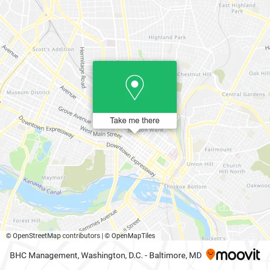
See BHC Management, Richmond, on the map
Public Transit to BHC Management in Richmond
Wondering how to get to BHC Management in Richmond? Moovit helps you find the best way to get to BHC Management with step-by-step directions from the nearest public transit station.
Moovit provides free maps and live directions to help you navigate through your city. View schedules, routes, timetables, and find out how long does it take to get to BHC Management in real time.
Looking for the nearest stop or station to BHC Management? Check out this list of stops closest to your destination: Arts District Westbound Station; Broad & Adams; 2nd & Franklin; Broad & 2nd; 3rd & Marshall; 2nd + Marshall; Main & 1st; Pathrichmond Main Street Amtrak Station.
Bus: 14, 3B, FLIXBUS N2601, BRT, 3A, 3C, 50, 87, 2B, 2C, 1.Train: NORTHEAST REGIONAL.
Want to see if there’s another route that gets you there at an earlier time? Moovit helps you find alternative routes or times. Get directions from and directions to BHC Management easily from the Moovit App or Website.
We make riding to BHC Management easy, which is why over 1.5 million users, including users in Richmond, trust Moovit as the best app for public transit. You don’t need to download an individual bus app or train app, Moovit is your all-in-one transit app that helps you find the best bus time or train time available.
For information on prices of bus and train, costs and ride fares to BHC Management, please check the Moovit app.
Use the app to navigate to popular places including to the airport, hospital, stadium, grocery store, mall, coffee shop, school, college, and university.
BHC Management Address: 23 W Broad St Richmond, VA 23220 street in Richmond
- Atlantic Interiors,
- Richmond Roofing Pros,
- Better Housing Coalition,
- Bargain Price Auto Glass,
- Cals Windshields,
- Poolhouse,
- Nine Mile Road,
- Harbor Freight Tools,
- Cornerstone Architects,
- Divine Unity Community Church - Richmond,
- Markham Planning,
- Rendezvous Rest,
- 5 7 17 19 and 27 West Broad St Holding,
- Mezzo Lofts at City Center,
- The Lofts at Capital Garage,
- Mul T Locks,
- West Broadstreet Apartment & Lofts,
- Switch,
- Nama,
- Mediaplatform
Places Near BHC Management (Richmond)
- Westfield Montgomery Mall, Montgomery County,
- Marriott Marquis Washington, DC, Washington,
- Rock Creek Tennis Center, Washington,
- Pennsylvania Ave NW (3rd st and pennsylvania), Washington,
- Camden Yards, Baltimore,
- Georgetown, Washington,
- Museum Of The Bible, Washington,
- Capital One Arena, Washington,
- Washington DC VA Medical Center, Washington,
- M&T Bank Stadium, Baltimore,
- Amazon Hq2, Arlington County,
- The Anthem, Washington,
- Sibley Memorial Hospital, Washington,
- Warner Theatre, Washington,
- National Mall, Washington,
- National Zoo, Washington,
- Washington National Cathedral, Washington,
- Basilica of the National Shrine, Washington,
- PG Mall, Prince George's County,
- National Museum of African American History and Culture, Washington
How to get to popular places in Washington, D.C. - Baltimore, MD with public transit
Get around Richmond by public transit!
Traveling around Richmond has never been so easy. See step by step directions as you travel to any attraction, street or major public transit station. View bus and train schedules, arrival times, service alerts and detailed routes on a map, so you know exactly how to get to anywhere in Richmond.
When traveling to any destination around Richmond use Moovit's Live Directions with Get Off Notifications to know exactly where and how far to walk, how long to wait for your line, and how many stops are left. Moovit will alert you when it's time to get off — no need to constantly re-check whether yours is the next stop.
Wondering how to use public transit in Richmond or how to pay for public transit in Richmond? Moovit public transit app can help you navigate your way with public transit easily, and at minimum cost. It includes public transit fees, ticket prices, and costs. Looking for a map of Richmond public transit lines? Moovit public transit app shows all public transit maps in Richmond with all Bus, Train, Metro, Light Rail and Ferry routes and stops on an interactive map.
Washington, D.C. - Baltimore, MD has 5 transit type(s), including: Bus, Train, Metro, Light Rail and Ferry, operated by several transit agencies, including WMATA, Montgomery County Ride On, Fairfax Connector, TheBus, PRTC, DASH - Alexandria, Arlington Transit (ART), RTA of Central Maryland, MDOT MTA, MDOT MTA Light RailLink, MDOT MTA Commuter Bus, MDOT MTA Local Bus, FXBGO!, Virginia Railway Express (VRE) and MARC