How to get to BH Gulve by bus?
Click on the bus route to see step by step directions with maps, line arrival times and updated time schedules.
From Digterkvarteret, Næstved
37 minFrom Ria Money Transfer, Slagelse
78 minFrom Enø, Næstved
121 minFrom Karrebæksminde, Næstved
108 minFrom Gavnø Slot og Park, Næstved
84 minFrom Forsvaret Antvorskov Kaserne, Slagelse
31 minFrom Næstved Sygehus, Næstved
35 minFrom Slagelse Sygehus, Slagelse
61 minFrom Eventyrpigerne, Sorø
120 min
Bus stops near BH Gulve in Næstved
What are the closest stations to BH Gulve?
The closest stations to BH Gulve are:
- Lundevej (Sorøvej) is 531 meters away, 7 min walk.
- Fuglebjerg Terminal is 573 meters away, 8 min walk.
Which bus line stops near BH Gulve?
480R (Slagelse St.)
What’s the nearest bus station to BH Gulve in Næstved?
The nearest bus station to BH Gulve in Næstved is Lundevej (Sorøvej). It’s a 7 min walk away.
What time is the first bus to BH Gulve in Næstved?
The 480R is the first bus that goes to BH Gulve in Næstved. It stops nearby at 7:26 AM.
What time is the last bus to BH Gulve in Næstved?
The 480R is the last bus that goes to BH Gulve in Næstved. It stops nearby at 12:28 AM.
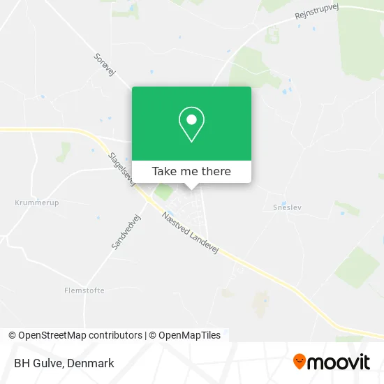
See BH Gulve, Næstved, on the map
Public Transit to BH Gulve in Næstved
Wondering how to get to BH Gulve in Næstved? Moovit helps you find the best way to get to BH Gulve with step-by-step directions from the nearest public transit station.
Moovit provides free maps and live directions to help you navigate through your city. View schedules, routes, timetables, and find out how long does it take to get to BH Gulve in real time.
Looking for the nearest stop or station to BH Gulve? Check out this list of stops closest to your destination: Lundevej (Sorøvej); Fuglebjerg Terminal.
Bus: 480R, 615.
Want to see if there’s another route that gets you there at an earlier time? Moovit helps you find alternative routes or times. Get directions from and directions to BH Gulve easily from the Moovit App or Website.
We make riding to BH Gulve easy, which is why over 1.5 million users, including users in Næstved, trust Moovit as the best app for public transit. You don’t need to download an individual bus app or train app, Moovit is your all-in-one transit app that helps you find the best bus time or train time available.
For information on prices of bus, costs and ride fares to BH Gulve, please check the Moovit app.
Use the app to navigate to popular places including to the airport, hospital, stadium, grocery store, mall, coffee shop, school, college, and university.
BH Gulve Address: Lærkevej 3 4250 Fuglebjerg street in Næstved
- Andelsboligforeningen Ingridparken,
- Aldi,
- Byagervej 47b,
- Fuglebjerg Røde Kors Butik og Café.,
- NETTO,
- Fugleparken Plejehjem,
- Super Brugsen Fuglebjerg,
- Ladestation for elbiler,
- Coop,
- Go'Appetit Aps,
- Fuglebjerg Station,
- Fuglebjerg Sundhedskl,
- Jægerpubben Fug,
- Fensmark Brugsforening A.M.B.A,
- Bang & Petersen Vinhan,
- Fuglebjerg Pizzaria V Ahmed Nafi Ali,
- Bang Peterse,
- Andelsboligforeningen Dalsgården,
- Clever,
- Fuglebjerg
Places Near BH Gulve (Næstved)
- Refshaleøen, København,
- Fisketorvet, København,
- Operaen, København,
- Aalborg Universitetshospital, Aalborg,
- Christiania, København,
- Eventyrpigerne, Sorø,
- Valbyparken, København,
- Marmorkirken, København,
- Seduction Girls, Rødovre,
- Royal Arena, København,
- Reffen, København,
- Bella Center, København,
- Rigshospitalet, København,
- Grundtvigs Kirke, København,
- Carlsberg Byen, København,
- Nyhavn, København,
- Bispebjerg Hospital, København,
- Dr Koncerthuset, København,
- Ikea, Århus,
- Field's, København
How to get to popular places in Denmark with public transit
Get around Næstved by public transit!
Traveling around Næstved has never been so easy. See step by step directions as you travel to any attraction, street or major public transit station. View bus and train schedules, arrival times, service alerts and detailed routes on a map, so you know exactly how to get to anywhere in Næstved.
When traveling to any destination around Næstved use Moovit's Live Directions with Get Off Notifications to know exactly where and how far to walk, how long to wait for your line, and how many stops are left. Moovit will alert you when it's time to get off — no need to constantly re-check whether yours is the next stop.
Wondering how to use public transit in Næstved or how to pay for public transit in Næstved? Moovit public transit app can help you navigate your way with public transit easily, and at minimum cost. It includes public transit fees, ticket prices, and costs. Looking for a map of Næstved public transit lines? Moovit public transit app shows all public transit maps in Næstved with all Bus, Train, Metro, Light Rail and Ferry routes and stops on an interactive map.
Denmark has 5 transit type(s), including: Bus, Train, Metro, Light Rail and Ferry, operated by several transit agencies, including Metroselskabet, DSB S-tog, Lokaltog A/S, Midttrafik, Odense Letbane, DSB, NT, GoCollective, Skånetrafiken, Movia, FYNBUS, Sydtrafik, Bornholms Trafik, Citybus and Ærø Kommune