Directions to Bad Dog Boxing (Wichita) with public transportation
The following transit lines have routes that pass near Bad Dog Boxing
How to get to Bad Dog Boxing by bus?
Click on the bus route to see step by step directions with maps, line arrival times and updated time schedules.
From J.Crew Factory, Wichita
49 minFrom Gold Canyon, Wichita
39 minFrom 37th St and Hydraulic, Wichita
60 minFrom Angry Elephant, Wichita
31 minFrom Social Tap, Wichita
46 minFrom Hope 4 da Hood Inc, Wichita
51 minFrom Central and Ridge, Wichita
46 minFrom Eddie's Cafe, Wichita
48 minFrom MERRELL, Wichita
48 min
Bus stops near Bad Dog Boxing in Wichita
Bus lines to Bad Dog Boxing in Wichita
What are the closest stations to Bad Dog Boxing?
The closest stations to Bad Dog Boxing are:
- Broadway And Harry Ib is 105 yards away, 2 min walk.
- Harry And Broadwayob is 248 yards away, 3 min walk.
Which bus lines stop near Bad Dog Boxing?
These bus lines stop near Bad Dog Boxing: ROUTE22: S BDWY-, ROUTE26: PWNEPLA.
What’s the nearest bus station to Bad Dog Boxing in Wichita?
The nearest bus station to Bad Dog Boxing in Wichita is Broadway And Harry Ib. It’s a 2 min walk away.
What time is the first bus to Bad Dog Boxing in Wichita?
The ROUTE22: S BDWY- is the first bus that goes to Bad Dog Boxing in Wichita. It stops nearby at 5:04 AM.
What time is the last bus to Bad Dog Boxing in Wichita?
The ROUTE22: S BDWY- is the last bus that goes to Bad Dog Boxing in Wichita. It stops nearby at 10:19 PM.
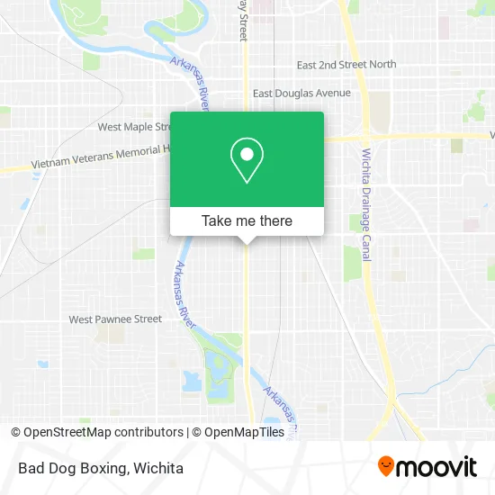
See Bad Dog Boxing, Wichita, on the map
Public Transit to Bad Dog Boxing in Wichita
Wondering how to get to Bad Dog Boxing in Wichita? Moovit helps you find the best way to get to Bad Dog Boxing with step-by-step directions from the nearest public transit station.
Moovit provides free maps and live directions to help you navigate through your city. View schedules, routes, timetables, and find out how long does it take to get to Bad Dog Boxing in real time.
Looking for the nearest stop or station to Bad Dog Boxing? Check out this list of stops closest to your destination: Broadway And Harry Ib; Harry And Broadwayob.
Bus: ROUTE22: S BDWY-, ROUTE26: PWNEPLA, ROUTE23: PWNEPLA.
Want to see if there’s another route that gets you there at an earlier time? Moovit helps you find alternative routes or times. Get directions from and directions to Bad Dog Boxing easily from the Moovit App or Website.
We make riding to Bad Dog Boxing easy, which is why over 1.5 million users, including users in Wichita, trust Moovit as the best app for public transit. You don’t need to download an individual bus app or train app, Moovit is your all-in-one transit app that helps you find the best bus time or train time available.
For information on prices of bus, costs and ride fares to Bad Dog Boxing, please check the Moovit app.
Use the app to navigate to popular places including to the airport, hospital, stadium, grocery store, mall, coffee shop, school, college, and university.
Bad Dog Boxing Address: 1700 S Broadway St Wichita, KS 67211 street in Wichita
- Nueva Jerusalem (Iglesia Cristiana Nueva Jerusalen),
- Hope Christian Church,
- Don Taco Stop Mexican Restaurant,
- Birdeye,
- Sunset Auto Sales,
- Northern Star Mortuary,
- Family Dollar Stores,
- B and P Construction,
- Heavenly Hair,
- Diamond Spa,
- Wichita Auto Sales,
- Wichita Public School System Unified School District No 259,
- DP Holding,
- ATM,
- Thao's Bistro,
- Shot Time Bar & Grill,
- Schendel Pest Services (Schendel Pest Control),
- Carniceria Y Paleteria El Guero,
- Wichita Electronics Service Center,
- Dollar Tree
Places Near Bad Dog Boxing (Wichita)
- Sena African Hair Braiding LLC, Wichita,
- Spirit Aerosystems Inc, Building 1-198D,
- McConnell Air Force Base, Mcconnell Afb,
- East 21st Street North and Webb Road, Wichita,
- Spirit Aerosystems,
- Lopez Services, Wichita,
- Paige Place Apartments, Wichita,
- Hubb's glory hole, Wichita,
- Afghan Halal Market, Wichita,
- Total Card Solutions, Wichita,
- Towne East Mall, Wichita,
- Four Corners Cafe @ Wesley Medical Center, Wichita,
- North High School, Wichita,
- 21st & Maize, Wichita,
- Westside Athletic Field (Friends University Baseball Field), Wichita,
- Bmer Tech Automotive, Wichita,
- Ascencion Via Christi Hospital St Francis, Wichita,
- Ratcliff Auto and Truck Repair, Wichita,
- Spirit AeroSystems, Bldg 2-280J (Section 9),
- Wichita Dwight D. Eisenhower National Airport (ICT) (Wichita Eisenhower National Airport), Wichita
How to get to popular places in Wichita with public transit
Get around Wichita by public transit!
Traveling around Wichita has never been so easy. See step by step directions as you travel to any attraction, street or major public transit station. View bus and train schedules, arrival times, service alerts and detailed routes on a map, so you know exactly how to get to anywhere in Wichita.
When traveling to any destination around Wichita use Moovit's Live Directions with Get Off Notifications to know exactly where and how far to walk, how long to wait for your line, and how many stops are left. Moovit will alert you when it's time to get off — no need to constantly re-check whether yours is the next stop.
Wondering how to use public transit in Wichita or how to pay for public transit in Wichita? Moovit public transit app can help you navigate your way with public transit easily, and at minimum cost. It includes public transit fees, ticket prices, and costs. Looking for a map of Wichita public transit lines? Moovit public transit app shows all public transit maps in Wichita with all bus routes and stops on an interactive map.
Wichita has 1 transit type(s), including: bus, operated by several transit agencies, including Wichita Transit, Greyhound-us and FlixBus-us