Directions to Ball Auto and Service Center (Spotsylvania County) with public transportation
The following transit lines have routes that pass near Ball Auto and Service Center
 Bus: ROUTE 32.
How to get to Ball Auto and Service Center by bus?
Click on the bus route to see step by step directions with maps, line arrival times and updated time schedules.
Bus stop near Ball Auto and Service Center in Spotsylvania County
- 304 - Courthouse Rd. (Holbart Building | Judicial Center), 6 min walk,VIEW
Bus lines to Ball Auto and Service Center in Spotsylvania County
- ROUTE 32, Inbound,VIEW
What are the closest stations to Ball Auto and Service Center?
The closest stations to Ball Auto and Service Center are:
- 304 - Courthouse Rd. (Holbart Building | Judicial Center) is 430 yards away, 6 min walk.
Which bus line stops near Ball Auto and Service Center?
ROUTE 32 (Outbound)
What’s the nearest bus station to Ball Auto and Service Center in Spotsylvania County?
The nearest bus station to Ball Auto and Service Center in Spotsylvania County is 304 - Courthouse Rd. (Holbart Building | Judicial Center). It’s a 6 min walk away.
What time is the first bus to Ball Auto and Service Center in Spotsylvania County?
The ROUTE 32 is the first bus that goes to Ball Auto and Service Center in Spotsylvania County. It stops nearby at 7:24 AM.
What time is the last bus to Ball Auto and Service Center in Spotsylvania County?
The ROUTE 32 is the last bus that goes to Ball Auto and Service Center in Spotsylvania County. It stops nearby at 7:28 PM.
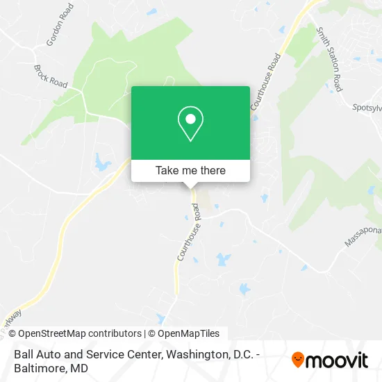
See Ball Auto and Service Center, Spotsylvania County, on the map
Public Transit to Ball Auto and Service Center in Spotsylvania County
Wondering how to get to Ball Auto and Service Center in Spotsylvania County? Moovit helps you find the best way to get to Ball Auto and Service Center with step-by-step directions from the nearest public transit station.
Moovit provides free maps and live directions to help you navigate through your city. View schedules, routes, timetables, and find out how long does it take to get to Ball Auto and Service Center in real time.
Looking for the nearest stop or station to Ball Auto and Service Center? Check out this list of stops closest to your destination: 304 - Courthouse Rd. (Holbart Building | Judicial Center).
Bus: ROUTE 32.
Want to see if there’s another route that gets you there at an earlier time? Moovit helps you find alternative routes or times. Get directions from and directions to Ball Auto and Service Center easily from the Moovit App or Website.
We make riding to Ball Auto and Service Center easy, which is why over 1.5 million users, including users in Spotsylvania County, trust Moovit as the best app for public transit. You don’t need to download an individual bus app or train app, Moovit is your all-in-one transit app that helps you find the best bus time or train time available.
For information on prices of bus, costs and ride fares to Ball Auto and Service Center, please check the Moovit app.
Use the app to navigate to popular places including to the airport, hospital, stadium, grocery store, mall, coffee shop, school, college, and university.
Ball Auto and Service Center Address: 8902 Courthouse Rd Spotsylvania, VA 22553 street in Spotsylvania County
- ATM,
- G&V Auto Service,
- Paw Palace,
- Archadeck of Fredericksburg-Woodbridge,
- WESTERN UNION,
- Gentlemen S Club Barbershop,
- Otter's Landscaping,
- Brooks Garage Door,
- Fields & Crew,
- Gorilla Tree Service,
- Drain Right Maintenance Services,
- Notary on the Spot,
- Twice AS Nice,
- KJ's Smoke Shop,
- Divine Touch,
- Sam's Pizza & Subs,
- Janee Marie Hair Studio,
- Commonwealth of Virginia Forestry Dept,
- Alexander School O,
- Minnieland Academy
Places Near Ball Auto and Service Center (Spotsylvania County)
- Museum Of The Bible, Washington,
- PG Mall, Prince George's County,
- Georgetown, Washington,
- Sibley Memorial Hospital, Washington,
- National Zoo, Washington,
- Camden Yards, Baltimore,
- The Anthem, Washington,
- Rock Creek Tennis Center, Washington,
- Washington National Cathedral, Washington,
- Warner Theatre, Washington,
- Washington DC VA Medical Center, Washington,
- Marriott Marquis Washington, DC, Washington,
- National Museum of African American History and Culture, Washington,
- Capital One Arena, Washington,
- Westfield Montgomery Mall, Montgomery County,
- M&T Bank Stadium, Baltimore,
- Amazon Hq2, Arlington County,
- Pennsylvania Ave NW (3rd st and pennsylvania), Washington,
- National Mall, Washington,
- Basilica of the National Shrine, Washington
How to get to popular places in Washington, D.C. - Baltimore, MD with public transit
Get around Spotsylvania County by public transit!
Traveling around Spotsylvania County has never been so easy. See step by step directions as you travel to any attraction, street or major public transit station. View bus and train schedules, arrival times, service alerts and detailed routes on a map, so you know exactly how to get to anywhere in Spotsylvania County.
When traveling to any destination around Spotsylvania County use Moovit's Live Directions with Get Off Notifications to know exactly where and how far to walk, how long to wait for your line, and how many stops are left. Moovit will alert you when it's time to get off — no need to constantly re-check whether yours is the next stop.
Wondering how to use public transit in Spotsylvania County or how to pay for public transit in Spotsylvania County? Moovit public transit app can help you navigate your way with public transit easily, and at minimum cost. It includes public transit fees, ticket prices, and costs. Looking for a map of Spotsylvania County public transit lines? Moovit public transit app shows all public transit maps in Spotsylvania County with all Bus, Train, Metro, Light Rail and Ferry routes and stops on an interactive map.
Washington, D.C. - Baltimore, MD has 5 transit type(s), including: Bus, Train, Metro, Light Rail and Ferry, operated by several transit agencies, including WMATA, Montgomery County Ride On, Fairfax Connector, TheBus, PRTC, DASH - Alexandria, Arlington Transit (ART), RTA of Central Maryland, MDOT MTA, MDOT MTA Light RailLink, MDOT MTA Commuter Bus, MDOT MTA Local Bus, FXBGO!, Virginia Railway Express (VRE) and MARC