Ball-Halliday stop - Sunday schedule
| Line | Direction | Time |
|---|---|---|
| 46 | The Village at Orange | 6:15 AM |
| 46 | The Village at Orange | 7:15 AM |
| 46 | The Village at Orange | 8:23 AM |
| 46 | The Village at Orange | 9:21 AM |
| 46 | The Village at Orange | 10:16 AM |
| 46 | The Village at Orange | 11:10 AM |
| 46 | The Village at Orange | 12:10 PM |
| 46 | The Village at Orange | 1:10 PM |
| 46 | The Village at Orange | 2:10 PM |
| 46 | The Village at Orange | 3:11 PM |
| 46 | The Village at Orange | 4:17 PM |
| 46 | The Village at Orange | 5:18 PM |
| 46 | The Village at Orange | 6:19 PM |
| 46 | The Village at Orange | 7:19 PM |
| 46 | The Village at Orange | 8:15 PM |
| 46 | The Village at Orange | 9:09 PM |
| 46 | The Village at Orange | 10:08 PM |
| 46 | The Village at Orange | 11:08 PM |
Directions to Ball-Halliday stop (Anaheim) with public transit
The following transit lines have routes that pass near Ball-Halliday
 Bus: 29, 46, 529, 29A.
How to get to Ball-Halliday stop by bus?
Click on the bus route to see step by step directions with maps, line arrival times and updated time schedules.
Bus stops near Ball-Halliday stop in Anaheim
- Ball-Beach, 3 min walk,
- Beach-Ball, 5 min walk,
Bus lines to Ball-Halliday stop in Anaheim
- 46, Los Alamitos - Norwalk and Wardlow,
- 29, Huntington Beach - PCH and 1st,
- 29A, Buena Park Metrolink Station,
- 529, Fullerton Park and Ride,
What are the closest stations to Ball-Halliday?
The closest stations to Ball-Halliday are:
- Ball-Beach stop is 215 yards away, 3 min walk.
- Beach-Ball stop is 349 yards away, 5 min walk.
Which bus lines stop near Ball-Halliday?
These bus lines stop near Ball-Halliday: 29, 46, 529.
What’s the nearest bus station to Ball-Halliday in Anaheim?
The nearest bus station to Ball-Halliday in Anaheim is Ball-Beach. It’s a 3 min walk away.
What time is the first bus to Ball-Halliday in Anaheim?
The 29 is the first bus that goes to Ball-Halliday in Anaheim. It stops nearby at 4:34 AM.
What time is the last bus to Ball-Halliday in Anaheim?
The 29 is the last bus that goes to Ball-Halliday in Anaheim. It stops nearby at 12:43 AM.
Ball-Halliday station
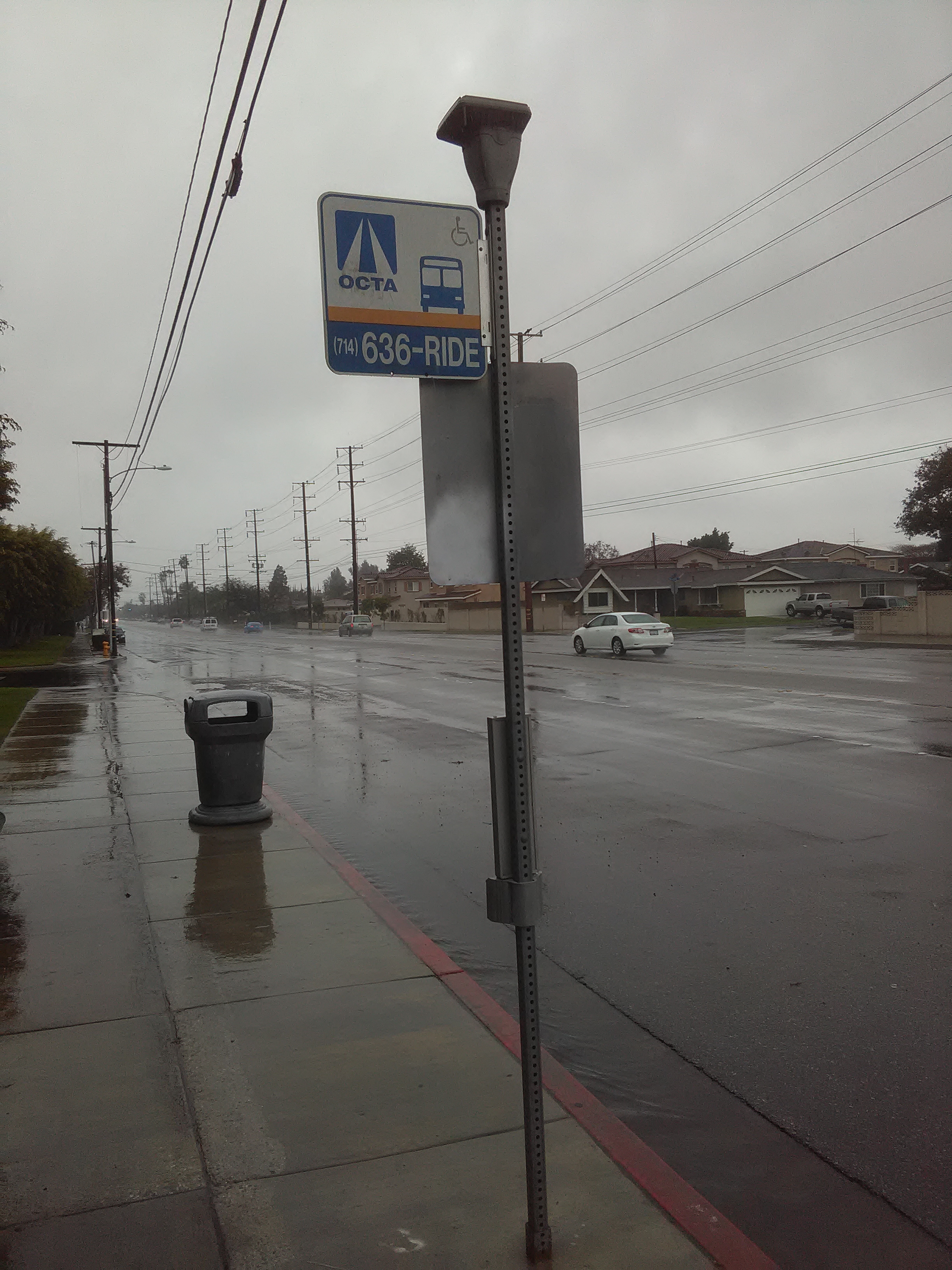 Taken by Anonymous
See Ball-Halliday stop, Anaheim, on the map
Public transit to Ball-Halliday stop (ID: 0046) in Anaheim
Looking for directions to Ball-Halliday in Anaheim, United States?
Download the Moovit App to find the current schedule and step-by-step directions for Bus routes that pass through Ball-Halliday.
Looking for the nearest stops closest to Ball-Halliday ? Check out this list of closest stops to your destination: Ball-Beach; Beach-Ball.
Bus: 29, 46, 529, 29A.
We make riding on public transit to Ball-Halliday easy, which is why over 1.7 billion users, including users in Anaheim trust Moovit as the best app for public transit.
Use the app to navigate to popular places including to the airport, hospital, stadium, grocery store, mall, coffee shop, school, college, and university.
Ball-Halliday stop’s code is 0046
The first line to this stop is 46, at 6:15 AM, and the last line is 46 at 11:08 PM.
3050 W Ball Rd, Buena Park, CA, USA
This stop serves OCTA’s lines
- Ball-Beach,
- Beach-Ball
Bus stops near Ball-Halliday stop
- Olympic Blvd & Western Ave (Westbound),
- Lake Ave & Del Mar Blvd,
- Burbank Blvd and Reseda (Eastbound),
- Rosecrans / Normandie,
- Van Ness / Gage,
- Baseline @ Sierra Way,
- Colima Rd and Whittier Blvd N,
- Valley View Ave & Imperial Hwy,
- Temescal @ Tom's Farms,
- Orangethorpe / East Entry Park & Ride,
- The Shops at Santa Anita,
- Main / Santa Anita,
- Pico Blvd/Westwood Blvd,
- 1st / Magnolia,
- Devonshire / Topanga Canyon,
- Woodman / Terra Bella,
- UCR at Bannockburn Village,
- Burbank / Van Nuys,
- Venice / Overland,
- 5th / Spring
Popular public transit stations in Anaheim
Get around Anaheim by public transit!
Traveling around Anaheim has never been so easy. See step by step directions as you travel to any attraction, street or major public transit station. View bus and train schedules, arrival times, service alerts and detailed routes on a map, so you know exactly how to get to anywhere in Anaheim.
When traveling to any destination around Anaheim use Moovit's Live Directions with Get Off Notifications to know exactly where and how far to walk, how long to wait for your line, and how many stops are left. Moovit will alert you when it's time to get off — no need to constantly re-check whether yours is the next stop.
Wondering how to use public transit in Anaheim or how to pay for public transit in Anaheim? Moovit public transit app can help you navigate your way with public transit easily, and at minimum cost. It includes public transit fees, ticket prices, and costs. Looking for a map of Anaheim public transit lines? Moovit public transit app shows all public transit maps in Anaheim with all Bus, Train, Subway, Ferry and Funicular routes and stops on an interactive map.
Los Angeles has 5 transit type(s), including: Bus, Train, Subway, Ferry and Funicular, operated by several transit agencies, including Metro, Metro Event Service, Alhambra Community Transit (ACT), Arcadia Transit, Artesia Transit, AVTA, Baldwin Park Transit, Beach Cities Transit, Beaumont Transit, Bell Gardens Town Trolley, Bellflower Bus, Big Blue Bus, Burbank Bus, Calabasas Trolley and Camarillo Area Transit