Directions to Baltimore Car Key Locksmith with public transportation
The following transit lines have routes that pass near Baltimore Car Key Locksmith
 Bus: 30, 33, 53, CITYLINK GREEN, 103.
How to get to Baltimore Car Key Locksmith by bus?
Click on the bus route to see step by step directions with maps, line arrival times and updated time schedules.
From Walters Art Museum
31 minFrom White Marsh Mall
45 minFrom Hanover
67 minFrom Topgolf
65 minFrom Lord Baltimore Hotel
41 minFrom I-83 Exit 16 (Timonium Road)
55 minFrom Joseph Meyerhoff Symphony Hall
41 minFrom Pimlico Race Course
44 minFrom M&T Bank Stadium
64 minFrom Light Rail-Timonium Fairgrounds
53 min
Bus stops near Baltimore Car Key Locksmith
Bus lines to Baltimore Car Key Locksmith
What are the closest stations to Baltimore Car Key Locksmith?
The closest stations to Baltimore Car Key Locksmith are:
- The Alameda & Sherwood Ave Nb is 327 yards away, 5 min walk.
- Loch Raven Blvd & Sherwood Ave Sb is 419 yards away, 6 min walk.
- Northern Pkwy & the Alameda Eb is 423 yards away, 6 min walk.
- Loch Raven Blvd & Northern Pkwy Sb is 588 yards away, 8 min walk.
Which bus lines stop near Baltimore Car Key Locksmith?
These bus lines stop near Baltimore Car Key Locksmith: 30, 33, 53, CITYLINK GREEN.
What’s the nearest bus station to Baltimore Car Key Locksmith?
The nearest bus station to Baltimore Car Key Locksmith is The Alameda & Sherwood Ave Nb. It’s a 5 min walk away.
What time is the first bus to Baltimore Car Key Locksmith?
The 53 is the first bus that goes to Baltimore Car Key Locksmith. It stops nearby at 4:04 AM.
What time is the last bus to Baltimore Car Key Locksmith?
The CITYLINK GREEN is the last bus that goes to Baltimore Car Key Locksmith. It stops nearby at 3:07 AM.
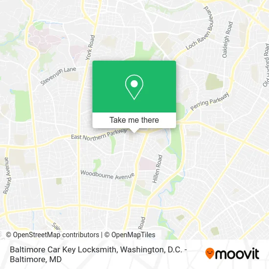
See Baltimore Car Key Locksmith on the map
Public Transportation to Baltimore Car Key Locksmith
Wondering how to get to Baltimore Car Key Locksmith? Moovit helps you find the best way to get to Baltimore Car Key Locksmith with step-by-step directions from the nearest public transit station.
Moovit provides free maps and live directions to help you navigate through your city. View schedules, routes, timetables, and find out how long does it take to get to Baltimore Car Key Locksmith in real time.
Looking for the nearest stop or station to Baltimore Car Key Locksmith? Check out this list of stops closest to your destination: The Alameda & Sherwood Ave Nb; Loch Raven Blvd & Sherwood Ave Sb; Northern Pkwy & the Alameda Eb; Loch Raven Blvd & Northern Pkwy Sb.
Bus: 30, 33, 53, CITYLINK GREEN, 103.
Want to see if there’s another route that gets you there at an earlier time? Moovit helps you find alternative routes or times. Get directions from and directions to Baltimore Car Key Locksmith easily from the Moovit App or Website.
We make riding to Baltimore Car Key Locksmith easy, which is why over 1.5 million users, including users in Baltimore, trust Moovit as the best app for public transit. You don’t need to download an individual bus app or train app, Moovit is your all-in-one transit app that helps you find the best bus time or train time available.
For information on prices of bus and light rail, costs and ride fares to Baltimore Car Key Locksmith, please check the Moovit app.
Use the app to navigate to popular places including to the airport, hospital, stadium, grocery store, mall, coffee shop, school, college, and university.
Baltimore Car Key Locksmith Address: 1305 Sherwood Ave Baltimore, MD 21239 street in Baltimore
- Ramblewood,
- The Arts at Mercy High School,
- The Women in Medicine Program,
- New Good Samaritan Baptist Chu,
- The Alameda and Northern Parkway,
- Alameda and Northern Pkwy,
- 2eyefor,
- Goat Experience,
- Green Garden Services,
- Sons of God Landscaping,
- Family Life,
- Acts of Wisdom Ministries,
- On Her Dresser,
- Northern Pkwy & Loch Raven,
- Body NV,
- PNC Mortgage,
- Moore Plus Moore,
- Hopping Tots Learning Center,
- Huber Memorial Church,
- Detailing by Yona
Places Near Baltimore Car Key Locksmith
- M&T Bank Stadium, Baltimore,
- Marriott Marquis Washington, DC, Washington,
- Warner Theatre, Washington,
- Rock Creek Tennis Center, Washington,
- Georgetown, Washington,
- Westfield Montgomery Mall, Montgomery County,
- Museum Of The Bible, Washington,
- The Anthem, Washington,
- National Zoo, Washington,
- Washington DC VA Medical Center, Washington,
- Pennsylvania Ave NW (3rd st and pennsylvania), Washington,
- Basilica of the National Shrine, Washington,
- Washington National Cathedral, Washington,
- PG Mall, Prince George's County,
- Amazon Hq2, Arlington County,
- National Museum of African American History and Culture, Washington,
- Sibley Memorial Hospital, Washington,
- Capital One Arena, Washington,
- Camden Yards, Baltimore,
- National Mall, Washington
How to get to popular places in Washington, D.C. - Baltimore, MD with public transit
Get around Baltimore by public transit!
Traveling around Baltimore has never been so easy. See step by step directions as you travel to any attraction, street or major public transit station. View bus and train schedules, arrival times, service alerts and detailed routes on a map, so you know exactly how to get to anywhere in Baltimore.
When traveling to any destination around Baltimore use Moovit's Live Directions with Get Off Notifications to know exactly where and how far to walk, how long to wait for your line, and how many stops are left. Moovit will alert you when it's time to get off — no need to constantly re-check whether yours is the next stop.
Wondering how to use public transit in Baltimore or how to pay for public transit in Baltimore? Moovit public transit app can help you navigate your way with public transit easily, and at minimum cost. It includes public transit fees, ticket prices, and costs. Looking for a map of Baltimore public transit lines? Moovit public transit app shows all public transit maps in Baltimore with all Bus, Train, Metro, Light Rail and Ferry routes and stops on an interactive map.
Washington, D.C. - Baltimore, MD has 5 transit type(s), including: Bus, Train, Metro, Light Rail and Ferry, operated by several transit agencies, including WMATA, Montgomery County Ride On, Fairfax Connector, TheBus, PRTC, DASH - Alexandria, Arlington Transit (ART), RTA of Central Maryland, MDOT MTA, MDOT MTA Light RailLink, MDOT MTA Commuter Bus, MDOT MTA Local Bus, FXBGO!, Virginia Railway Express (VRE) and MARC