How to get to Banff Community High School by bus?
Click on the bus route to see step by step directions with maps, line arrival times and updated time schedules.
Bus stops near Banff Community High School
Bus lines to Banff Community High School
What are the closest stations to Banff Community High School?
The closest stations to Banff Community High School are:
- Muskrat South is 51 meters away, 2 min walk.
- Moose Street is 167 meters away, 3 min walk.
- Downtown Buffalo East is 224 meters away, 3 min walk.
- Banff High School Transit Hub is 303 meters away, 5 min walk.
Which bus line stops near Banff Community High School?
3
What’s the nearest bus station to Banff Community High School?
The nearest bus station to Banff Community High School is Muskrat South. It’s a 2 min walk away.
What time is the first bus to Banff Community High School?
The 3 is the first bus that goes to Banff Community High School. It stops nearby at 5:50 AM.
What time is the last bus to Banff Community High School?
The 3 is the last bus that goes to Banff Community High School. It stops nearby at 12:11 AM.
How much is the bus fare to Banff Community High School?
The bus fare to Banff Community High School costs about $6.00.
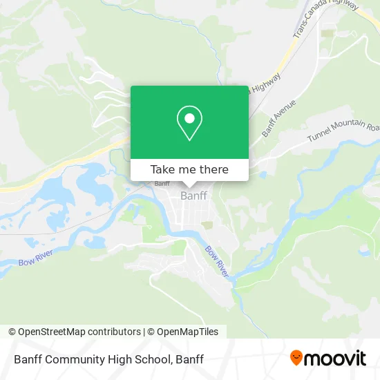
See Banff Community High School on the map
Public Transportation to Banff Community High School
Wondering how to get to Banff Community High School? Moovit helps you find the best way to get to Banff Community High School with step-by-step directions from the nearest public transit station.
Moovit provides free maps and live directions to help you navigate through your city. View schedules, routes, timetables, and find out how long does it take to get to Banff Community High School in real time.
Looking for the nearest stop or station to Banff Community High School? Check out this list of stops closest to your destination: Muskrat South; Moose Street; Downtown Buffalo East; Banff High School Transit Hub.
Bus: 3, 2, 1, 4, 6, 8X, 9.
Want to see if there’s another route that gets you there at an earlier time? Moovit helps you find alternative routes or times. Get directions from and directions to Banff Community High School easily from the Moovit App or Website.
We make riding to Banff Community High School easy, which is why over 1.5 million users, including users in Banff, trust Moovit as the best app for public transit. You don’t need to download an individual bus app or train app, Moovit is your all-in-one transit app that helps you find the best bus time or train time available.
For information on prices of bus, costs and ride fares to Banff Community High School, please check the Moovit app.
Use the app to navigate to popular places including to the airport, hospital, stadium, grocery store, mall, coffee shop, school, college, and university.
Location: Banff
- Banff High School,
- Roam Bus Route 3,
- Elk Avenue Hotel Banff,
- elk + avenue,
- Moose Hotel and Suites,
- Greyhound Bus Lines,
- Banff Hot Springs,
- Meatball Pizza and Pasta,
- Highlight Adventures,
- Blackbear Chimney Services,
- Ptarmigan Inn,
- Moose Hotel and Suites Banff,
- Driftwood Inn,
- SUBWAY,
- Cascade Garden,
- Banff Lake Louise Tourism,
- Banff Aspen Lodge Standard Cb,
- Safeway,
- Two Jack Lake,
- Boulder Menswear
Places Near Banff Community High School
- HI-Banff Alpine Centre, Banff,
- Banff Center for the Arts, Banff,
- Two Jack Lake, Banff,
- Silvertip Resort, Canmore,
- Dead Mans Flatts, Canmore,
- The Juniper, Banff,
- Canmore Benchlands Overpass South, Canmore,
- Nordic Center Canmore, Kananaskis,
- The Cascade of Time Garden, Banff,
- Canalta Lodge, Banff,
- Banff Rocky Mountain Resort, Banff,
- Brewster Transportation Centre, Banff,
- Banff Train Station, Banff,
- Cascade Garden, Banff,
- snowy owl sled dog tours, Canmore,
- Banff Caribou Lodge, Banff,
- Vermillion Lakes, Improvement District No. 9,
- WorldMark Canmore-Banff, Canmore,
- Grassi Lake Trail, Canmore,
- Harvie Heights, Bighorn No. 8
How to get to popular places in Banff with public transit
Get around Banff by public transit!
Traveling around Banff has never been so easy. See step by step directions as you travel to any attraction, street or major public transit station. View bus and train schedules, arrival times, service alerts and detailed routes on a map, so you know exactly how to get to anywhere in Banff.
When traveling to any destination around Banff use Moovit's Live Directions with Get Off Notifications to know exactly where and how far to walk, how long to wait for your line, and how many stops are left. Moovit will alert you when it's time to get off — no need to constantly re-check whether yours is the next stop.
Wondering how to use public transit in Banff or how to pay for public transit in Banff? Moovit public transit app can help you navigate your way with public transit easily, and at minimum cost. It includes public transit fees, ticket prices, and costs. Looking for a map of Banff public transit lines? Moovit public transit app shows all public transit maps in Banff with all bus routes and stops on an interactive map.
Banff has 1 transit type(s), including: bus, operated by several transit agencies, including Roam Transit