Barrack Lane stop - Sunday schedule
| Line | Direction | Time |
|---|---|---|
| WESTMORELAND STREET - BALBRIGGAN | Mourne View | 5:06 AM |
| 33 | Skerries | 9:19 AM |
| 33A | Mourne View | 10:12 AM |
| 33A | Peter & Paul Church | 10:55 AM |
| 33 | Balbriggan | 11:23 AM |
| 33A | Mourne View | 11:46 AM |
| 33A | Peter & Paul Church | 12:19 PM |
| 33 | Balbriggan | 12:49 PM |
| 33A | Mourne View | 1:18 PM |
| 33A | Peter & Paul Church | 1:49 PM |
| 33 | Balbriggan | 2:22 PM |
| 33A | Mourne View | 2:46 PM |
| 33A | Peter & Paul Church | 3:21 PM |
| 33 | Balbriggan | 3:54 PM |
| 33A | Mourne View | 4:20 PM |
| 33A | Peter & Paul Church | 4:53 PM |
| 33 | Balbriggan | 5:24 PM |
| 33A | Mourne View | 5:50 PM |
| 33 | Balbriggan | 6:06 PM |
| 33A | Peter & Paul Church | 6:19 PM |
| 33 | Balbriggan | 7:01 PM |
| 33A | Mourne View | 7:22 PM |
| 33A | Peter & Paul Church | 7:56 PM |
| 33 | Balbriggan | 8:33 PM |
| 33A | Mourne View | 8:55 PM |
Directions to Barrack Lane stop (Lusk) with public transit
The following transit lines have routes that pass near Barrack Lane
 Bus: 33, 33A, 33X, 33E, WESTMORELAND STREET - BALBRIGGAN.
- Train: RAIL.
How to get to Barrack Lane stop by bus?
Click on the bus route to see step by step directions with maps, line arrival times and updated time schedules.
How to get to Barrack Lane stop by train?
Click on the train route to see step by step directions with maps, line arrival times and updated time schedules.
Bus stops near Barrack Lane stop in Lusk
- Barrack Lane, 1 min walk,
- Station Road, 5 min walk,
Train stations near Barrack Lane station in Lusk
- Rush And Lusk, 25 min walk,
Bus lines to Barrack Lane stop in Lusk
- 33, Skerries,
- 33X, Balbriggan,
- 33A, Airport Zone 15,
- 33E, Skerries,
- WESTMORELAND STREET - BALBRIGGAN, Mourne View,
What are the closest stations to Barrack Lane?
The closest stations to Barrack Lane are:
- Barrack Lane stop is 63 meters away, 1 min walk.
- Station Road is 349 meters away, 5 min walk.
- Rush And Lusk station is 1912 meters away, 25 min walk.
Which bus lines stop near Barrack Lane?
These bus lines stop near Barrack Lane: 33, 33A.
Which train line stops near Barrack Lane?
RAIL (Dublin Pearse→Drogheda (Macbride))
What’s the nearest train station to Barrack Lane in Lusk?
The nearest train station to Barrack Lane in Lusk is Rush And Lusk. It’s a 25 min walk away.
What’s the nearest bus station to Barrack Lane in Lusk?
The nearest bus station to Barrack Lane in Lusk is Barrack Lane. It’s a 1 min walk away.
What time is the first train to Barrack Lane in Lusk?
The RAIL is the first train that goes to Barrack Lane in Lusk. It stops nearby at 6:22 AM.
What time is the last train to Barrack Lane in Lusk?
The RAIL is the last train that goes to Barrack Lane in Lusk. It stops nearby at 12:23 AM.
What time is the first bus to Barrack Lane in Lusk?
The 33A is the first bus that goes to Barrack Lane in Lusk. It stops nearby at 4:24 AM.
What time is the last bus to Barrack Lane in Lusk?
The 33A is the last bus that goes to Barrack Lane in Lusk. It stops nearby at 12:53 AM.
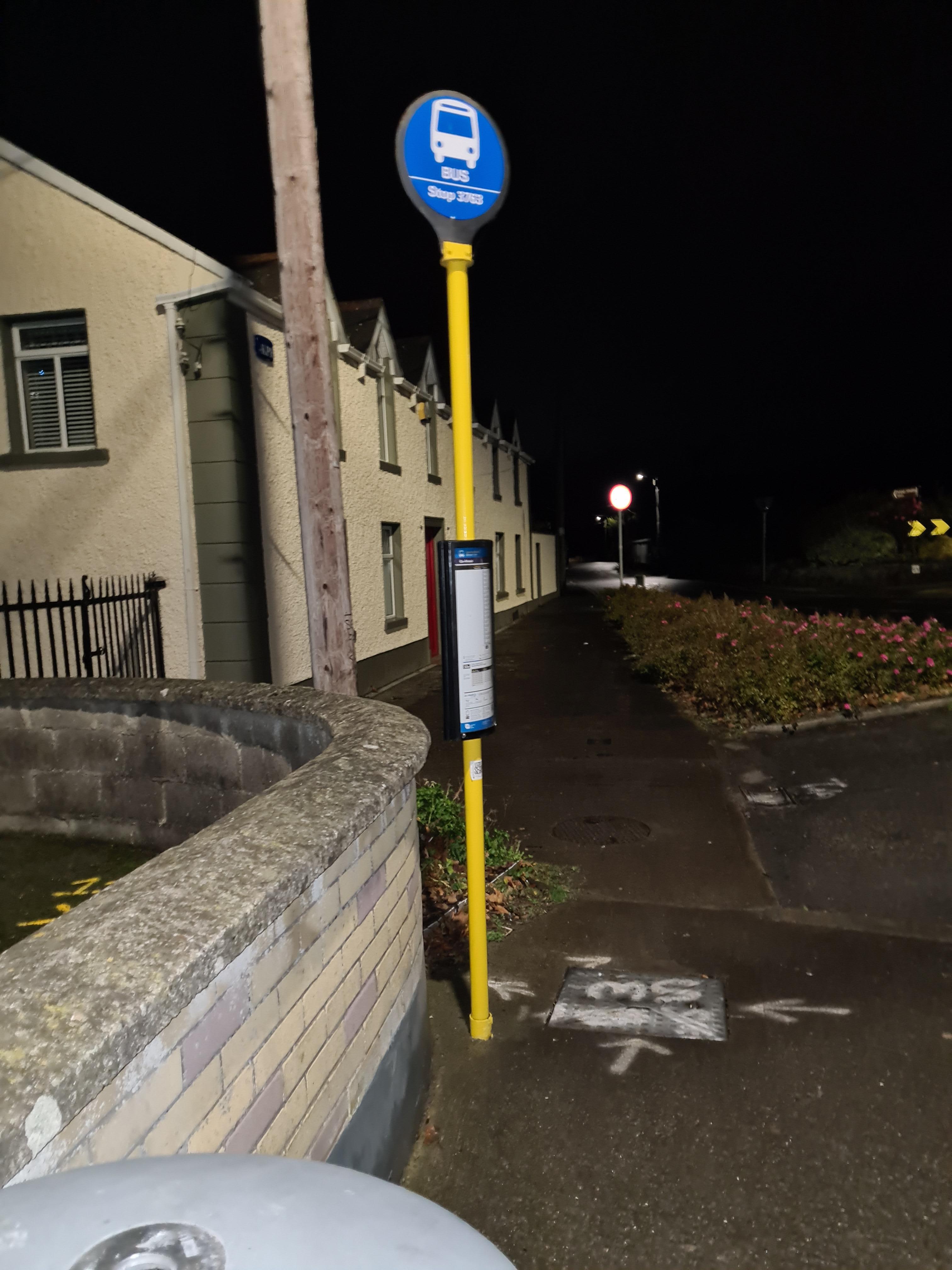
Barrack Lane station
 Taken by Anonymous
See Barrack Lane stop, Lusk, on the map
Public transit to Barrack Lane stop (ID: 3763) in Lusk
Looking for directions to Barrack Lane in Lusk, Ireland?
Download the Moovit App to find the current schedule and step-by-step directions for Bus or Train routes that pass through Barrack Lane.
Looking for the nearest stops closest to Barrack Lane ? Check out this list of closest stops to your destination: Barrack Lane; Station Road; Rush And Lusk.
Bus: 33, 33A, 33X, 33E, WESTMORELAND STREET - BALBRIGGAN.Train: RAIL.
We make riding on public transit to Barrack Lane easy, which is why over 1.7 billion users, including users in Lusk trust Moovit as the best app for public transit.
Use the app to navigate to popular places including to the airport, hospital, stadium, grocery store, mall, coffee shop, school, college, and university.
Barrack Lane stop’s code is 3763
The first line to this stop is WESTMORELAND STREET - BALBRIGGAN, at 5:06 AM, and the last line is 33 at 12:13 AM.
This stop serves Bus Átha Cliath – Dublin Bus, Nitelink, Dublin Bus and Go-Ahead Ireland’s lines
- Barrack Lane,
- Station Road
Bus stops near Barrack Lane stop
- Rush And Lusk
Train station near Barrack Lane station
- Salthill Hotel Galway,
- Dundrum South,
- Dalkey (Hyde Road),
- Redmond's Hill,
- Lower Baggot Street,
- The Orchard,
- Slane,
- Clonrosse Drive,
- Killaloe,
- South Circular Road,
- Ballymun,
- Achill Road,
- Hyde Road,
- Broombridge,
- Ormond Quay Upper,
- Ballinlough CH,
- Kilcock,
- Willow Road,
- Oliver Plunkett Rd,
- Ballygall Rd E
Popular public transit stations in Lusk
Get around Lusk by public transit!
Traveling around Lusk has never been so easy. See step by step directions as you travel to any attraction, street or major public transit station. View bus and train schedules, arrival times, service alerts and detailed routes on a map, so you know exactly how to get to anywhere in Lusk.
When traveling to any destination around Lusk use Moovit's Live Directions with Get Off Notifications to know exactly where and how far to walk, how long to wait for your line, and how many stops are left. Moovit will alert you when it's time to get off — no need to constantly re-check whether yours is the next stop.
Wondering how to use public transit in Lusk or how to pay for public transit in Lusk? Moovit public transit app can help you navigate your way with public transit easily, and at minimum cost. It includes public transit fees, ticket prices, and costs. Looking for a map of Lusk public transit lines? Moovit public transit app shows all public transit maps in Lusk with all Bus, Train and Light Rail routes and stops on an interactive map.
Ireland has 3 transit type(s), including: Bus, Train and Light Rail, operated by several transit agencies, including Luas, Bus Átha Cliath – Dublin Bus, Bus Éireann, Go-Ahead Ireland, Nitelink, Dublin Bus, Citylink, City Direct, Kenneally's Bus Service, Aircoach, TFI Local Link Mayo, Irish Rail, Express Bus, JJ/Bernard Kavanagh, Dublin Coach and Kearns Transport