How to get to Basement Systems by bus?
Click on the bus route to see step by step directions with maps, line arrival times and updated time schedules.
How to get to Basement Systems by train?
Click on the train route to see step by step directions with maps, line arrival times and updated time schedules.
Bus stop near Basement Systems in Seymour
- Cogwheel Ln @ Progress Ln, 4 min walk,VIEW
Train station near Basement Systems in Seymour
- Seymour, 44 min walk,VIEW
Bus lines to Basement Systems in Seymour
What are the closest stations to Basement Systems?
The closest stations to Basement Systems are:
- Cogwheel Ln @ Progress Ln is 233 yards away, 4 min walk.
- Seymour is 3705 yards away, 44 min walk.
Which bus line stops near Basement Systems?
255 (255 - Ansonia-Seymour-Derby Rr Station Via West Chapel St)
Which train line stops near Basement Systems?
6 (1916#| Waterbury)
What’s the nearest bus station to Basement Systems in Seymour?
The nearest bus station to Basement Systems in Seymour is Cogwheel Ln @ Progress Ln. It’s a 4 min walk away.
What time is the first train to Basement Systems in Seymour?
The 6 is the first train that goes to Basement Systems in Seymour. It stops nearby at 5:06 AM.
What time is the last train to Basement Systems in Seymour?
The 6 is the last train that goes to Basement Systems in Seymour. It stops nearby at 12:20 AM.
What time is the first bus to Basement Systems in Seymour?
The 243 is the first bus that goes to Basement Systems in Seymour. It stops nearby at 5:21 AM.
What time is the last bus to Basement Systems in Seymour?
The 243 is the last bus that goes to Basement Systems in Seymour. It stops nearby at 5:40 PM.
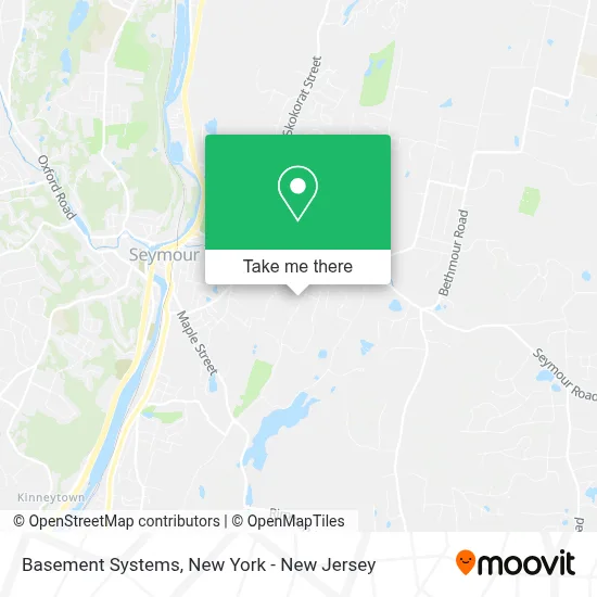
See Basement Systems, Seymour, on the map
Public Transit to Basement Systems in Seymour
Wondering how to get to Basement Systems in Seymour? Moovit helps you find the best way to get to Basement Systems with step-by-step directions from the nearest public transit station.
Moovit provides free maps and live directions to help you navigate through your city. View schedules, routes, timetables, and find out how long does it take to get to Basement Systems in real time.
Looking for the nearest stop or station to Basement Systems? Check out this list of stops closest to your destination: Cogwheel Ln @ Progress Ln; Seymour.
Bus: 255, 243.Train: 6.
Want to see if there’s another route that gets you there at an earlier time? Moovit helps you find alternative routes or times. Get directions from and directions to Basement Systems easily from the Moovit App or Website.
We make riding to Basement Systems easy, which is why over 1.5 million users, including users in Seymour, trust Moovit as the best app for public transit. You don’t need to download an individual bus app or train app, Moovit is your all-in-one transit app that helps you find the best bus time or train time available.
For information on prices of train and bus, costs and ride fares to Basement Systems, please check the Moovit app.
Use the app to navigate to popular places including to the airport, hospital, stadium, grocery store, mall, coffee shop, school, college, and university.
Basement Systems Address: 60 Silvermine Rd street in Seymour
- Total Basement Finishing,
- Bright Brothers Of the Valley,
- Connecticut Basement Systems,
- Total Basement Finishing,
- Contractor Nation,
- Homepro Match,
- Treehouse Marketing,
- Dr. Energy Saver,
- Brown Roofing Company, Inc.,
- Xamax Industries Inc,
- Scout Fence Of Southern Ct,
- Brown Roofing Inc,
- Clean Air Consultants,
- The Junkluggers,
- Bethwood Suzuki Music School,
- Cpm Environmental,
- Raf Electronic Hardware,
- Mpi,
- Raf Electronic Hardware,
- Sophia’S Diesel Llc
Places Near Basement Systems (Seymour)
- Pier 83, Manhattan,
- Hudson Yards, Manhattan,
- 111 Centre New York City Supreme Court, Manhattan,
- Times Square, Manhattan,
- 66 John Street, Manhattan,
- Chinatown, Manhattan,
- Wall Street, Manhattan,
- 376 Hudson Street, Manhattan,
- Bellevue Hospital, Manhattan,
- Queens Center Mall, Queens,
- SoHo, Manhattan,
- qqqq, Manhattan,
- 911 Memorial, Manhattan,
- 1 Police Plaza, Manhattan,
- Rockefeller Center, Manhattan,
- Mountainside Hospital, Glen Ridge,
- Katz's Deli, Manhattan,
- 26 Federal Plaza, Manhattan,
- San Gennaro Feast, Manhattan,
- 3 Stone St, Manhattan
How to get to popular places in New York - New Jersey with public transit
Get around Seymour by public transit!
Traveling around Seymour has never been so easy. See step by step directions as you travel to any attraction, street or major public transit station. View bus and train schedules, arrival times, service alerts and detailed routes on a map, so you know exactly how to get to anywhere in Seymour.
When traveling to any destination around Seymour use Moovit's Live Directions with Get Off Notifications to know exactly where and how far to walk, how long to wait for your line, and how many stops are left. Moovit will alert you when it's time to get off — no need to constantly re-check whether yours is the next stop.
Wondering how to use public transit in Seymour or how to pay for public transit in Seymour? Moovit public transit app can help you navigate your way with public transit easily, and at minimum cost. It includes public transit fees, ticket prices, and costs. Looking for a map of Seymour public transit lines? Moovit public transit app shows all public transit maps in Seymour with all Bus, Train, Subway, Light Rail, Ferry and Cable Car routes and stops on an interactive map.
New York - New Jersey has 6 transit type(s), including: Bus, Train, Subway, Light Rail, Ferry and Cable Car, operated by several transit agencies, including MTA Subway, Metro-North Railroad, LIRR, PATH, MTA New York City Transit - Express routes, MTA Bus, NJ Transit, NYC Ferry, NICE bus, Bee-Line Bus, NJ Transit Rail, Norwalk Transit District, Hartford Line, River Valley Transit and HART