Bathurst St / Clark Av stop - Wednesday schedule
| Line | Direction | Time |
|---|---|---|
| 88 | Seneca Polytechnic King Campus - Nb | 5:58 AM |
| 88 | Seneca Polytechnic King Campus - Nb | 6:13 AM |
| 88 | Seneca Polytechnic King Campus - Nb | 6:29 AM |
| 88 | Seneca Polytechnic King Campus - Nb | 6:44 AM |
| 88 | Seneca Polytechnic King Campus - Nb | 7:00 AM |
| 88 | Seneca Polytechnic King Campus - Nb | 7:15 AM |
| 88 | Seneca Polytechnic King Campus - Nb | 7:27 AM |
| 88 | Seneca Polytechnic King Campus - Nb | 7:45 AM |
| 88 | Seneca Polytechnic King Campus - Nb | 7:52 AM |
| 88 | Seneca Polytechnic King Campus - Nb | 7:59 AM |
| 88 | Seneca Polytechnic King Campus - Nb | 8:13 AM |
| 88 | Seneca Polytechnic King Campus - Nb | 8:27 AM |
| 88 | Seneca Polytechnic King Campus - Nb | 8:42 AM |
| 88 | Seneca Polytechnic King Campus - Nb | 8:56 AM |
| 88 | Seneca Polytechnic King Campus - Nb | 9:10 AM |
| 88 | Seneca Polytechnic King Campus - Nb | 9:22 AM |
| 88 | Seneca Polytechnic King Campus - Nb | 9:36 AM |
| 88 | Seneca Polytechnic King Campus - Nb | 9:50 AM |
| 88 | Seneca Polytechnic King Campus - Nb | 10:04 AM |
| 88 | Seneca Polytechnic King Campus - Nb | 10:18 AM |
| 88 | Seneca Polytechnic King Campus - Nb | 10:32 AM |
| 88 | Seneca Polytechnic King Campus - Nb | 10:46 AM |
| 88 | Seneca Polytechnic King Campus - Nb | 11:16 AM |
| 88 | Seneca Polytechnic King Campus - Nb | 11:46 AM |
| 88 | Seneca Polytechnic King Campus - Nb | 12:16 PM |
Directions to Bathurst St / Clark Av stop (Vaughan) with public transit
The following transit lines have routes that pass near Bathurst St / Clark Av
 Bus: 160, 5, 88, 77.
- Subway: 1.
How to get to Bathurst St / Clark Av stop by bus?
Click on the bus route to see step by step directions with maps, line arrival times and updated time schedules.
Bus stops near Bathurst St / Clark Av stop in Vaughan
- Bathurst St at Clark Ave West, 1 min walk,
- Clark Av / Bathurst St, 2 min walk,
- Bathurst St / Clark Av, 2 min walk,
Subway stations near Bathurst St / Clark Av station in Vaughan
- Finch, 12 min walk,
Bus lines to Bathurst St / Clark Av stop in Vaughan
- 160, South - 160 Bathurst North Towards Wilson Station,
- 5, Glen Shields Avenue - Wb,
- 77, Finch Go Bus Terminal Via Clark Avenue - Eb,
- 88, Seneca Polytechnic King Campus - Nb,
What are the closest stations to Bathurst St / Clark Av?
The closest stations to Bathurst St / Clark Av are:
- Bathurst St at Clark Ave West stop is 5 meters away, 1 min walk.
- Clark Av / Bathurst St stop is 81 meters away, 2 min walk.
- Bathurst St / Clark Av stop is 87 meters away, 2 min walk.
- Finch station is 935 meters away, 12 min walk.
Which bus lines stop near Bathurst St / Clark Av?
These bus lines stop near Bathurst St / Clark Av: 160, 5, 88.
What’s the nearest subway station to Bathurst St / Clark Av in Vaughan?
The nearest subway station to Bathurst St / Clark Av in Vaughan is Finch. It’s a 12 min walk away.
What’s the nearest bus station to Bathurst St / Clark Av in Vaughan?
The nearest bus station to Bathurst St / Clark Av in Vaughan is Bathurst St at Clark Ave West. It’s a 1 min walk away.
What time is the first subway to Bathurst St / Clark Av in Vaughan?
The 1 is the first subway that goes to Bathurst St / Clark Av in Vaughan. It stops nearby at 5:31 AM.
What time is the last subway to Bathurst St / Clark Av in Vaughan?
The 1 is the last subway that goes to Bathurst St / Clark Av in Vaughan. It stops nearby at 2:21 AM.
What time is the first bus to Bathurst St / Clark Av in Vaughan?
The 5 is the first bus that goes to Bathurst St / Clark Av in Vaughan. It stops nearby at 5:21 AM.
What time is the last bus to Bathurst St / Clark Av in Vaughan?
The 88 is the last bus that goes to Bathurst St / Clark Av in Vaughan. It stops nearby at 11:36 PM.
Bathurst St / Clark Av station
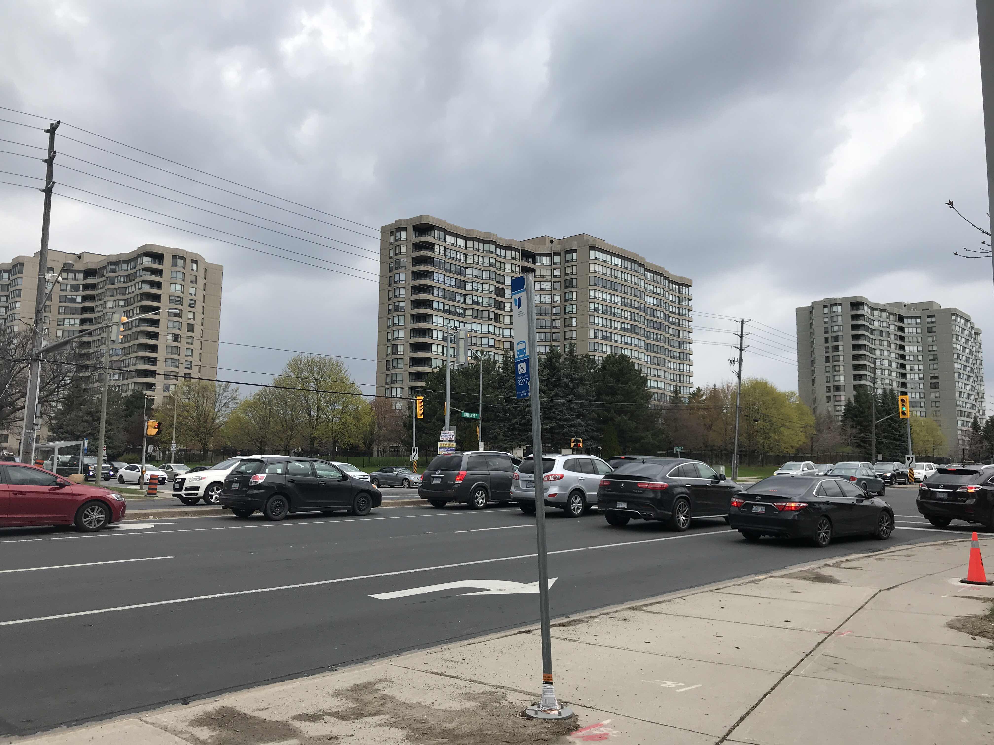 Taken by Anonymous
See Bathurst St / Clark Av stop, Vaughan, on the map
Public transit to Bathurst St / Clark Av stop (ID: 3277) in Vaughan
Looking for directions to Bathurst St / Clark Av in Vaughan, Canada?
Download the Moovit App to find the current schedule and step-by-step directions for Bus routes that pass through Bathurst St / Clark Av.
Looking for the nearest stops closest to Bathurst St / Clark Av ? Check out this list of closest stops to your destination: Bathurst St at Clark Ave West; Clark Av / Bathurst St; Bathurst St / Clark Av; Finch.
Bus: 160, 5, 88, 77.Subway: 1.
We make riding on public transit to Bathurst St / Clark Av easy, which is why over 1.7 billion users, including users in Vaughan trust Moovit as the best app for public transit.
Use the app to navigate to popular places including to the airport, hospital, stadium, grocery store, mall, coffee shop, school, college, and university.
Bathurst St / Clark Av stop’s code is 3277
The first line to this stop is 88, at 5:58 AM, and the last line is 88 at 11:24 PM.
833 Clark Avenue West, Vaughan, ON, Canada
This stop serves York Region Transit’s lines
- Bathurst St at Clark Ave West,
- Clark Av / Bathurst St,
- Bathurst St / Clark Av
Bus stops near Bathurst St / Clark Av stop
- Finch
Subway station near Bathurst St / Clark Av station
- Erin Mills Station West Platform 3,
- Fairview at Burlington Go,
- Renforth Station West Platform 1,
- Finch Ave. W. @ Darcel Ave.,
- Martindale Rd + Fourth Av,
- Harvester Rd at Appleby Go Station,
- Guelph at Fairview,
- Dundas St West + Bronte Rd,
- Yonge / Crosby,
- South Park Rd Stop # 1026,
- Meadowvale Go,
- Disera-Promenade Eastbound,
- Brock University,
- Southdown Rd at Lakeshore Rd,
- Drew Centre at Milton Go Station,
- Elmvale,
- Main + Ferry Hub,
- Davis Dr / Highway 404 Park & Ride,
- Airport Passenger Terminal,
- Abbey Park High School
Popular public transit stations in Vaughan
Get around Vaughan by public transit!
Traveling around Vaughan has never been so easy. See step by step directions as you travel to any attraction, street or major public transit station. View bus and train schedules, arrival times, service alerts and detailed routes on a map, so you know exactly how to get to anywhere in Vaughan.
When traveling to any destination around Vaughan use Moovit's Live Directions with Get Off Notifications to know exactly where and how far to walk, how long to wait for your line, and how many stops are left. Moovit will alert you when it's time to get off — no need to constantly re-check whether yours is the next stop.
Wondering how to use public transit in Vaughan or how to pay for public transit in Vaughan? Moovit public transit app can help you navigate your way with public transit easily, and at minimum cost. It includes public transit fees, ticket prices, and costs. Looking for a map of Vaughan public transit lines? Moovit public transit app shows all public transit maps in Vaughan with all Bus, Train, Subway, Streetcar and Ferry routes and stops on an interactive map.
Toronto has 5 transit type(s), including: Bus, Train, Subway, Streetcar and Ferry, operated by several transit agencies, including TTC, Toronto Subway, Brampton Transit, MiWay, York Region Transit, GO Transit Bus, GO Transit, Durham Region Transit, UP Express, Grand River Transit, Guelph Transit, Hamilton Street Railway, Burlington Transit, Oakville Transit and pererborough