How to get to Batteryplex by bus?
Click on the bus route to see step by step directions with maps, line arrival times and updated time schedules.
From Broward College North Campus Bldg. 48, Pompano Beach
69 minFrom North Area Transportation Terminal, Pompano Beach
70 minFrom Butterfly World, Pompano Beach
51 minFrom Walmart Supercenter, Pompano Beach
75 minFrom Coral Square Mall Shopping Center, Coral Springs-Margate
27 minFrom Intersection : N Andrews Ave & Sample Rd., Pompano Beach
52 minFrom Sample Rd, Deerfield Beach
38 minFrom Margate, FL, Coral Springs-Margate
63 minFrom Amazon Fulfillment Center-DMF3, Pompano Beach
50 minFrom JP Taravella High School, Coral Springs-Margate
36 min
Bus stops near Batteryplex in Deerfield Beach
Bus lines to Batteryplex in Deerfield Beach
What are the closest stations to Batteryplex?
The closest stations to Batteryplex are:
- Wiles Road/University Drive is 133 yards away, 2 min walk.
- Wiles Rd & University Dr Lucy's Market is 309 yards away, 4 min walk.
Which bus lines stop near Batteryplex?
These bus lines stop near Batteryplex: 02, 62.
What’s the nearest bus station to Batteryplex in Deerfield Beach?
The nearest bus station to Batteryplex in Deerfield Beach is Wiles Road/University Drive. It’s a 2 min walk away.
What time is the first bus to Batteryplex in Deerfield Beach?
The 02 is the first bus that goes to Batteryplex in Deerfield Beach. It stops nearby at 5:02 AM.
What time is the last bus to Batteryplex in Deerfield Beach?
The 02 is the last bus that goes to Batteryplex in Deerfield Beach. It stops nearby at 12:42 AM.
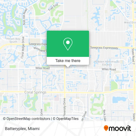
See Batteryplex, Deerfield Beach, on the map
Public Transit to Batteryplex in Deerfield Beach
Wondering how to get to Batteryplex in Deerfield Beach? Moovit helps you find the best way to get to Batteryplex with step-by-step directions from the nearest public transit station.
Moovit provides free maps and live directions to help you navigate through your city. View schedules, routes, timetables, and find out how long does it take to get to Batteryplex in real time.
Looking for the nearest stop or station to Batteryplex? Check out this list of stops closest to your destination: Wiles Road/University Drive; Wiles Rd & University Dr Lucy's Market.
Bus: 02, 62.
Want to see if there’s another route that gets you there at an earlier time? Moovit helps you find alternative routes or times. Get directions from and directions to Batteryplex easily from the Moovit App or Website.
We make riding to Batteryplex easy, which is why over 1.5 million users, including users in Deerfield Beach, trust Moovit as the best app for public transit. You don’t need to download an individual bus app or train app, Moovit is your all-in-one transit app that helps you find the best bus time or train time available.
For information on prices of bus, costs and ride fares to Batteryplex, please check the Moovit app.
Use the app to navigate to popular places including to the airport, hospital, stadium, grocery store, mall, coffee shop, school, college, and university.
Batteryplex Address: 4613 N University Dr Pompano Beach, FL 33067 street in Deerfield Beach
- Puregreendryervent,
- Summit Security Alarm & Home,
- FN Media Group,
- Click Shop and Run,
- Consult A Ninja Marketing,
- The Brewer Group,
- Feba Supplies,
- Aip Real Estate Group,
- United States Adjusters,
- Bam's Auto Carriers,
- Shane Santacroce,
- A/C Filters 4 Less,
- Accurate Roofing & Contracting,
- Digital Bulldogs,
- Investigative Support Group,
- Ginosko Tech,
- Global Insurance Quote,
- Garage Door Repair Coral Springs,
- Praxis Enterprise,
- Infinite Laundry
Places Near Batteryplex (Deerfield Beach)
- Bayside Marketplace, Miami,
- Miami Design District, Miami,
- Miami Freedom Park, Miami,
- Sawgrass Mall, Miami,
- Little Havana, Miami,
- Aventura Mall, Miami,
- Port of Miami Cruise Terminal, Miami,
- Dolphin Mall, Miami,
- Aventura Mall, Miami Beach,
- Dolphin Mall Bus, Miami,
- 1351 NW 12th St, Miami,
- Marlins Park, Miami,
- Sawgrass mall ( FL ), Miami Beach,
- Keiser University Flagship Campus, West Palm Beach,
- Zoo Miami, Miami,
- Wynwood, Miami,
- Brickell City Centre, Miami,
- Richard E. Gerstein Justice Building, Miami,
- Miami-Dade County Courthouse, Miami,
- Hard Rock Stadium, Miami Gardens
How to get to popular places in Miami with public transit
Get around Deerfield Beach by public transit!
Traveling around Deerfield Beach has never been so easy. See step by step directions as you travel to any attraction, street or major public transit station. View bus and train schedules, arrival times, service alerts and detailed routes on a map, so you know exactly how to get to anywhere in Deerfield Beach.
When traveling to any destination around Deerfield Beach use Moovit's Live Directions with Get Off Notifications to know exactly where and how far to walk, how long to wait for your line, and how many stops are left. Moovit will alert you when it's time to get off — no need to constantly re-check whether yours is the next stop.
Wondering how to use public transit in Deerfield Beach or how to pay for public transit in Deerfield Beach? Moovit public transit app can help you navigate your way with public transit easily, and at minimum cost. It includes public transit fees, ticket prices, and costs. Looking for a map of Deerfield Beach public transit lines? Moovit public transit app shows all public transit maps in Deerfield Beach with all Bus, Train, Light Rail and Ferry routes and stops on an interactive map.
Miami has 4 transit type(s), including: Bus, Train, Light Rail and Ferry, operated by several transit agencies, including Broward County Transit, Miami-Dade Transit, Metrorail, Palm Tran, Tri-Rail, Brightline, MARTY, City of Homestead Trolley, Key West Transit, Treasure Coast Connector, GoLine IRT, Amtrak, Greyhound-us, FlixBus-us and Aventura Express Shuttle Bus