Bay Ridge Av/Colonial Rd stop - Monday schedule
| Line | Direction | Time |
|---|---|---|
| B9 | Kings Plaza Via 60 St Via Avenue M | 6:02 AM |
| B64 | Coney Island Stillwell Av | 6:03 AM |
| B9 | Kings Plaza Via 60 St Via Avenue M | 6:11 AM |
| X27 | Midtown 57 St Via Church Via Madison | 6:13 AM |
| B9 | Kings Plaza Via 60 St Via Avenue M | 6:19 AM |
| X37 | Midtown 57 St Via Fdr-23 St Via Madison | 6:24 AM |
| B9 | Kings Plaza Via 60 St Via Avenue M | 6:27 AM |
| X27 | 23 St-Broadway Via Church St | 6:28 AM |
| B64 | Coney Island Stillwell Av | 6:33 AM |
| B9 | Kings Plaza Via 60 St Via Avenue M | 6:33 AM |
| X37 | Midtown 57 St Via Fdr-23 St Via Madison | 6:39 AM |
| B9 | Kings Plaza Via 60 St Via Avenue M | 6:39 AM |
| X27 | 23 St-Broadway Via Church St | 6:43 AM |
| B9 | Kings Plaza Via 60 St Via Avenue M | 6:45 AM |
| B64 | Coney Island Stillwell Av | 6:48 AM |
| X37 | Midtown 57 St Via Fdr-23 St Via Madison | 6:49 AM |
| B9 | Kings Plaza Via 60 St Via Avenue M | 6:51 AM |
| X27 | Downtown Worth St | 6:56 AM |
| B9 | Kings Plaza Via 60 St Via Avenue M | 6:57 AM |
| X37 | Midtown 57 St Via Fdr-23 St Via Madison | 6:59 AM |
| B64 | Coney Island Stillwell Av | 7:00 AM |
| B9 | Kings Plaza Via 60 St Via Avenue M | 7:03 AM |
| X27 | 23 St-Broadway Via Church St | 7:04 AM |
| X37 | Midtown 57 St Via Fdr-23 St Via Madison | 7:07 AM |
| B9 | Kings Plaza Via 60 St Via Avenue M | 7:09 AM |
Directions to Bay Ridge Av/Colonial Rd stop (Brooklyn) with public transit
The following transit lines have routes that pass near Bay Ridge Av/Colonial Rd
 Bus: B37, B64, B9, X27, X37.
- Subway: R, D, N, W.
- Ferry: SG, SB, RS.
How to get to Bay Ridge Av/Colonial Rd stop by bus?
Click on the bus route to see step by step directions with maps, line arrival times and updated time schedules.
How to get to Bay Ridge Av/Colonial Rd stop by subway?
Click on the subway route to see step by step directions with maps, line arrival times and updated time schedules.
Bus stops near Bay Ridge Av/Colonial Rd stop in Brooklyn
- Bay Ridge Av/Colonial Rd, 2 min walk,
- 3 Av/Bay Ridge Av, 6 min walk,
Ferry stations near Bay Ridge Av/Colonial Rd station in Brooklyn
- Bay Ridge, 9 min walk,
- Sunset Park/Bat, 22 min walk,
Subway stations near Bay Ridge Av/Colonial Rd station in Brooklyn
- Bay Ridge Av, 9 min walk,
- 59 St, 19 min walk,
Bus lines to Bay Ridge Av/Colonial Rd stop in Brooklyn
- B9, Flatbush Av,
- X27, Midtown 57 St Via Church Via Madison,
- X37, Midtown 57 St Via Fdr-23 St Via Madison,
- B64, Coney Island Stillwell Av,
- B37, Atlantic Av Barclays Center Via 3 Av,
What are the closest stations to Bay Ridge Av/Colonial Rd?
The closest stations to Bay Ridge Av/Colonial Rd are:
- Bay Ridge Av/Colonial Rd stop is 89 yards away, 2 min walk.
- 3 Av/Bay Ridge Av stop is 507 yards away, 6 min walk.
- Bay Ridge station is 764 yards away, 9 min walk.
- Bay Ridge Av station is 768 yards away, 9 min walk.
- 59 St station is 1614 yards away, 19 min walk.
- Sunset Park/Bat station is 1834 yards away, 22 min walk.
Which bus lines stop near Bay Ridge Av/Colonial Rd?
These bus lines stop near Bay Ridge Av/Colonial Rd: B37, B64, B9, X27.
Which subway line stops near Bay Ridge Av/Colonial Rd?
R (Downtown & Brooklyn)
Which ferry line stops near Bay Ridge Av/Colonial Rd?
SG (Wall St./Pier 11)
What’s the nearest subway station to Bay Ridge Av/Colonial Rd in Brooklyn?
The nearest subway station to Bay Ridge Av/Colonial Rd in Brooklyn is Bay Ridge Av. It’s a 9 min walk away.
What’s the nearest bus station to Bay Ridge Av/Colonial Rd in Brooklyn?
The nearest bus station to Bay Ridge Av/Colonial Rd in Brooklyn is Bay Ridge Av/Colonial Rd. It’s a 2 min walk away.
What’s the nearest ferry station to Bay Ridge Av/Colonial Rd in Brooklyn?
The nearest ferry station to Bay Ridge Av/Colonial Rd in Brooklyn is Bay Ridge. It’s a 9 min walk away.
What time is the first subway to Bay Ridge Av/Colonial Rd in Brooklyn?
The R is the first subway that goes to Bay Ridge Av/Colonial Rd in Brooklyn. It stops nearby at 3:01 AM.
What time is the last subway to Bay Ridge Av/Colonial Rd in Brooklyn?
The N is the last subway that goes to Bay Ridge Av/Colonial Rd in Brooklyn. It stops nearby at 3:55 AM.
What time is the first bus to Bay Ridge Av/Colonial Rd in Brooklyn?
The B9 is the first bus that goes to Bay Ridge Av/Colonial Rd in Brooklyn. It stops nearby at 4:45 AM.
What time is the last bus to Bay Ridge Av/Colonial Rd in Brooklyn?
The B9 is the last bus that goes to Bay Ridge Av/Colonial Rd in Brooklyn. It stops nearby at 2:15 AM.
What time is the first ferry to Bay Ridge Av/Colonial Rd in Brooklyn?
The RS is the first ferry that goes to Bay Ridge Av/Colonial Rd in Brooklyn. It stops nearby at 5:47 AM.
What time is the last ferry to Bay Ridge Av/Colonial Rd in Brooklyn?
The SG is the last ferry that goes to Bay Ridge Av/Colonial Rd in Brooklyn. It stops nearby at 9:47 PM.
Bay Ridge Av/Colonial Rd station
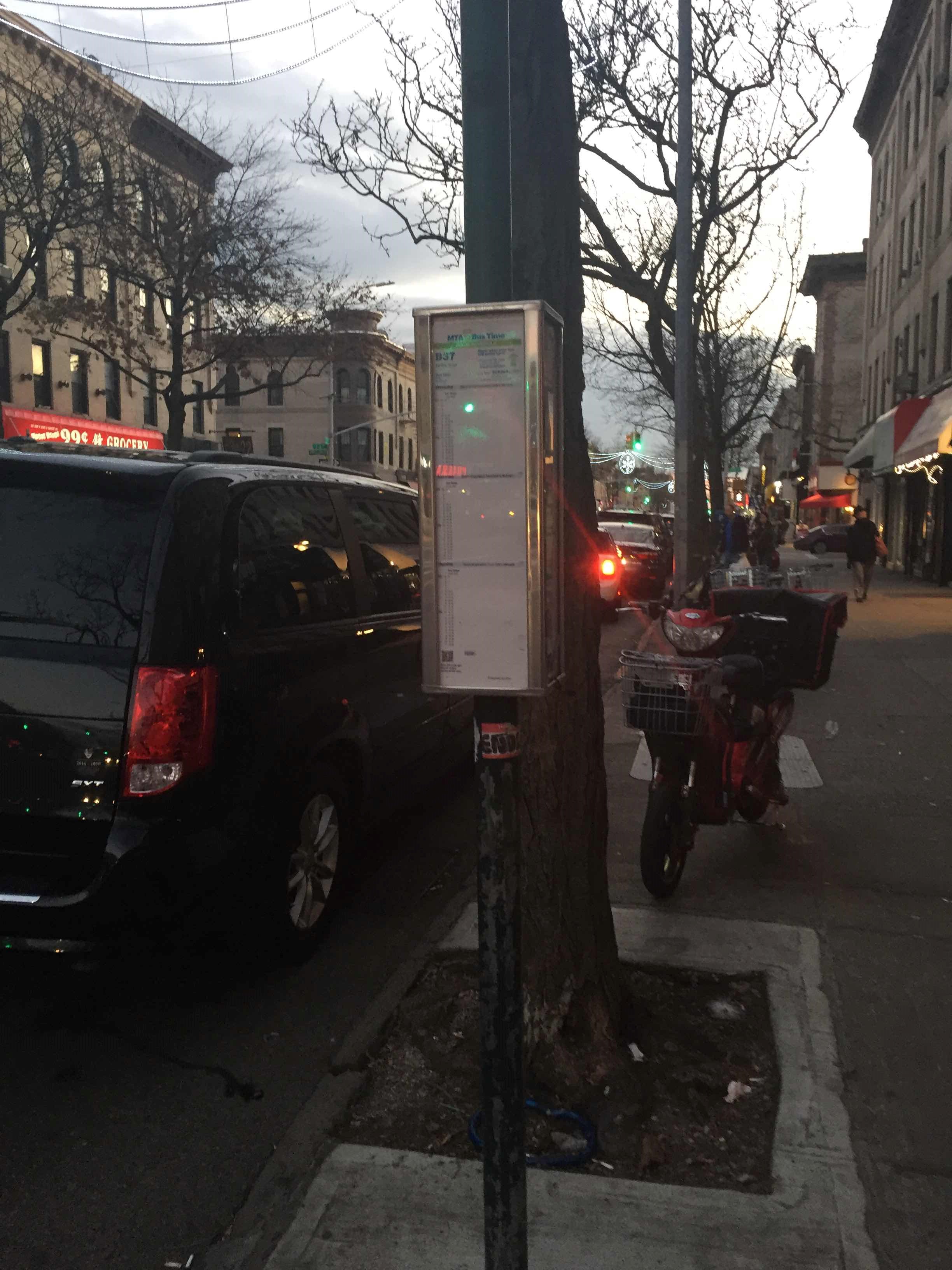 Taken by Anonymous
See Bay Ridge Av/Colonial Rd stop, Brooklyn, on the map
Public transit to Bay Ridge Av/Colonial Rd stop in Brooklyn
Looking for directions to Bay Ridge Av/Colonial Rd in Brooklyn, United States?
Download the Moovit App to find the current schedule and step-by-step directions for Bus, Subway, Train or Ferry routes that pass through Bay Ridge Av/Colonial Rd.
Looking for the nearest stops closest to Bay Ridge Av/Colonial Rd ? Check out this list of closest stops to your destination: Bay Ridge Av/Colonial Rd; 3 Av/Bay Ridge Av; Bay Ridge; Bay Ridge Av; 59 St; Sunset Park/Bat.
Bus: B37, B64, B9, X27, X37.Subway: R, D, N, W.Ferry: SG, SB, RS.
We make riding on public transit to Bay Ridge Av/Colonial Rd easy, which is why over 1.7 billion users, including users in Brooklyn trust Moovit as the best app for public transit.
Use the app to navigate to popular places including to the airport, hospital, stadium, grocery store, mall, coffee shop, school, college, and university.
The first line to this stop is B9, at 6:02 AM, and the last line is X27 at 5:58 AM.
130 Bay Ridge Ave, Brooklyn, New York, NY, USA
This stop serves MTA Bus and MTA New York City Transit - Express routes’s lines
- Bay Ridge Av/Colonial Rd,
- 3 Av/Bay Ridge Av
Bus stops near Bay Ridge Av/Colonial Rd stop
- Bay Ridge,
- Sunset Park/Bat
Ferry stations near Bay Ridge Av/Colonial Rd station
- Bay Ridge Av,
- 59 St
Subway stations near Bay Ridge Av/Colonial Rd station
- Halsey St,
- Fdr Park,
- Front St/York St,
- 175 St,
- Bedford Av/Fulton St,
- Pulaski Br/Box St,
- Allendale,
- Malibu Beach Club,
- Ralph Av/Sterling Pl,
- Washington Ave at Madison Ave,
- Harriman,
- Dyckman St,
- Delancey St-Essex St,
- Clark St,
- Port Chester,
- Avenue U,
- Times Sq-42 St,
- Belleayre Mountain Bus Stop,
- 90 St-Elmhurst Av,
- 116 St
Popular public transit stations in Brooklyn
Get around Brooklyn by public transit!
Traveling around Brooklyn has never been so easy. See step by step directions as you travel to any attraction, street or major public transit station. View bus and train schedules, arrival times, service alerts and detailed routes on a map, so you know exactly how to get to anywhere in Brooklyn.
When traveling to any destination around Brooklyn use Moovit's Live Directions with Get Off Notifications to know exactly where and how far to walk, how long to wait for your line, and how many stops are left. Moovit will alert you when it's time to get off — no need to constantly re-check whether yours is the next stop.
Wondering how to use public transit in Brooklyn or how to pay for public transit in Brooklyn? Moovit public transit app can help you navigate your way with public transit easily, and at minimum cost. It includes public transit fees, ticket prices, and costs. Looking for a map of Brooklyn public transit lines? Moovit public transit app shows all public transit maps in Brooklyn with all Bus, Train, Subway, Light Rail, Ferry and Cable Car routes and stops on an interactive map.
New York - New Jersey has 6 transit type(s), including: Bus, Train, Subway, Light Rail, Ferry and Cable Car, operated by several transit agencies, including MTA Subway, Metro-North Railroad, LIRR, PATH, MTA New York City Transit - Express routes, MTA Bus, NJ Transit, NYC Ferry, NICE bus, Bee-Line Bus, NJ Transit Rail, Norwalk Transit District, CTTransit - Waterbury-Meriden, Hartford Line and River Valley Transit