How to get to Bbva by bus?
Click on the bus route to see step by step directions with maps, line arrival times and updated time schedules.
From Entrada Periferico-Recta a Cholula, San Gregorio Atzompa
54 minFrom Plaza Cruz del Sur-Sur, San Pedro Cholula
50 minFrom Entronque Amalucan, Puebla
53 minFrom Plaza Las Animas, Puebla
54 minFrom Camino a San Miguel Espejo, Puebla
89 minFrom Parque Recreativo El Ameyal, San Pedro Cholula
41 minFrom Parque del Carmen, San Andrés Cholula
34 minFrom INFONAVIT la Margarita, Puebla
58 minFrom Parque Industrial Chachapa, Puebla
74 minFrom Plaza Comercial Angelopolis, San Andrés Cholula
53 min
Bus stop near Bbva in San Pedro Cholula
- 5 De Mayo-Mártires De Río Blanco, 3 min walk,VIEW
Bus lines to Bbva in San Pedro Cholula
What are the closest stations to Bbva?
The closest stations to Bbva are:
- 5 De Mayo-Mártires De Río Blanco is 157 meters away, 3 min walk.
Which bus lines stop near Bbva?
These bus lines stop near Bbva: RUTA 38, RUTA 46.
What’s the nearest bus station to Bbva in San Pedro Cholula?
The nearest bus station to Bbva in San Pedro Cholula is 5 De Mayo-Mártires De Río Blanco. It’s a 3 min walk away.
What time is the first bus to Bbva in San Pedro Cholula?
The RUTA 38 is the first bus that goes to Bbva in San Pedro Cholula. It stops nearby at 5:02 AM.
What time is the last bus to Bbva in San Pedro Cholula?
The RUTA 38 is the last bus that goes to Bbva in San Pedro Cholula. It stops nearby at 10:30 PM.
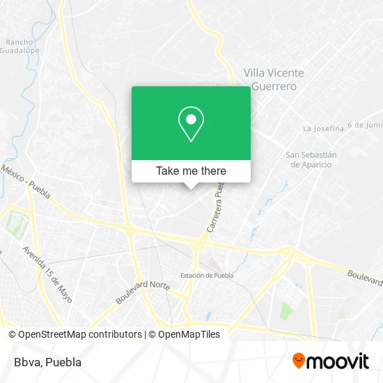
See Bbva, San Pedro Cholula, on the map
Public Transit to Bbva in San Pedro Cholula
Wondering how to get to Bbva in San Pedro Cholula? Moovit helps you find the best way to get to Bbva with step-by-step directions from the nearest public transit station.
Moovit provides free maps and live directions to help you navigate through your city. View schedules, routes, timetables, and find out how long does it take to get to Bbva in real time.
Looking for the nearest stop or station to Bbva? Check out this list of stops closest to your destination: 5 De Mayo-Mártires De Río Blanco.
Bus: RUTA 38, RUTA 46.
Want to see if there’s another route that gets you there at an earlier time? Moovit helps you find alternative routes or times. Get directions from and directions to Bbva easily from the Moovit App or Website.
We make riding to Bbva easy, which is why over 1.5 million users, including users in San Pedro Cholula, trust Moovit as the best app for public transit. You don’t need to download an individual bus app or train app, Moovit is your all-in-one transit app that helps you find the best bus time or train time available.
For information on prices of bus, costs and ride fares to Bbva, please check the Moovit app.
Use the app to navigate to popular places including to the airport, hospital, stadium, grocery store, mall, coffee shop, school, college, and university.
Bbva Address: Cerrada Mártires de Río Blanco 7, Parque Industrial 5 de Mayo, 72019 Puebla, Puebla street in San Pedro Cholula
- Sucursal Sur,
- Parque Industrial 5 de Mayo,
- De Acero,
- Comercializadora Ragon,
- Nadro,
- Dul Ragon,
- Plaza de la Tecnologia,
- Eolis America Latina,
- Grupo Gommar,
- Grupo Mirasol De Occidente,
- Gorditas Vicky,
- Emiliano Zapata,
- Fruteria y Verduleria Grupo America,
- Panaderia,
- Venta de Hojas de Tamal,
- Frutería sin Nombre,
- Compra Venta de Semillas Dominga,
- El Rey del Carbón,
- Miscelánea Gloria,
- Plaza Central Victoria
Places Near Bbva (San Pedro Cholula)
- Parque Puebla, Puebla,
- Parque Ecologico, Pue., San Andrés Cholula,
- Centro Integral de Servicios CIS, San Andrés Cholula,
- Hospital Imss La Margarita, Puebla,
- Ciudad Judicial del Estado de Puebla, San Andrés Cholula,
- SAT, San Andrés Cholula,
- Hospital General Regional 36 IMSS San Alejandro, San Andrés Cholula,
- Estadio Cuauhtémoc, Puebla,
- Galerías Serdán, San Pedro Cholula,
- Tres Cruces, Puebla,
- Complejo Cultural Universitario, Ocoyucan,
- Ciudad Universitaria, Puebla,
- 25 Zona Militar, Puebla,
- Hospital Traumatología y Ortopedia de Puebla, San Pedro Cholula,
- Zona de los Fuertes, Puebla,
- Secretaria de Finanzas, Puebla,
- Plaza Las Animas, Puebla,
- Centro de Desarrollo Comunitario Tres Cruces, Puebla,
- Centro Comercial Angelópolis, San Andrés Cholula,
- Plaza Dorada Centro Comercial, Puebla
How to get to popular places in Puebla with public transit
Get around San Pedro Cholula by public transit!
Traveling around San Pedro Cholula has never been so easy. See step by step directions as you travel to any attraction, street or major public transit station. View bus and train schedules, arrival times, service alerts and detailed routes on a map, so you know exactly how to get to anywhere in San Pedro Cholula.
When traveling to any destination around San Pedro Cholula use Moovit's Live Directions with Get Off Notifications to know exactly where and how far to walk, how long to wait for your line, and how many stops are left. Moovit will alert you when it's time to get off — no need to constantly re-check whether yours is the next stop.
Wondering how to use public transit in San Pedro Cholula or how to pay for public transit in San Pedro Cholula? Moovit public transit app can help you navigate your way with public transit easily, and at minimum cost. It includes public transit fees, ticket prices, and costs. Looking for a map of San Pedro Cholula public transit lines? Moovit public transit app shows all public transit maps in San Pedro Cholula with all bus routes and stops on an interactive map.
Puebla has 1 transit type(s), including: bus, operated by several transit agencies, including RUTA, RUTA Alimentadoras, Rutas Convencionales and Líneas temporales