How to get to Becerra Paredes Edith by bus?
Click on the bus route to see step by step directions with maps, line arrival times and updated time schedules.
From Avenida Aviación, San Borja
50 minFrom Av Faustino Sánchez Carrión 615 Jesús María, Jesus Mari
42 minFrom Minedu, San Borja
52 minFrom Av. Javier Prado, San Borja
54 minFrom Universidad San Marcos Sjl, San Juan D
65 minFrom Hospital Nacional Hipólito Unanue, El Agustin
36 minFrom POR WONG DE 2 DE MAYO EN SAN ISIDRO, San Isidro
50 minFrom Cruce Av. Canadá / Av. Arriola, La Victori
42 minFrom Avenida Nicolás Ayllón, Lima
36 minFrom Colegio Militar Leoncio Prado, San Miguel
44 min
Bus stops near Becerra Paredes Edith in San Martin
Bus lines to Becerra Paredes Edith in San Martin
- 1199, Villarán (Surquillo) - Puente Camote (San Martin De Porres),VIEW
- IM47, Km. 22 - Caquetá - Brasil - La Marina - Faucett - Km. 22,VIEW
- CR43, Ventanilla - Carabayllo,VIEW
- CR62, Carabayllo - Lima - Carabayllo,VIEW
- 1005, Huánuco (La Victoria) - Punchauca (Carabayllo),VIEW
- 1006, Carabayllo - Ate - Carabayllo,VIEW
- 1010, Pte. Piedra - Magdalena - Pte. Piedra,VIEW
- 1016, La Florida (Ancon) - Aviación (La Victoria),VIEW
- 1017, Ancón - La Victoria,VIEW
- 1024, Los Sauces - Cerro Candela,VIEW
- 1030, Canta Callao (San Martin De Porres) - San Diego (San Martin De Porres),VIEW
- 1033, S.M.P. - La Victoria - S.M.P.,VIEW
- 1131, Gamarra (La Victoria),VIEW
- 1160, Pachacútec (Ventanilla) - Gamarra (La Victoria),VIEW
- 1168, Ventanilla - Panam. Norte - Alfonso Ugarte - Salaverry - Panamericana Norte - Ancón,VIEW
- 1176, Collique (Comas) - Faraday (Ate),VIEW
- 1177, Torre Blanca (Carabayllo) - Metropolitana (Ate),VIEW
- 1178, Tagore (Ate) - Km.22 (Carabayllo),VIEW
- 1179, Miramar (Ancón) - Upc (Santiago De Surco),VIEW
- 1180, Pamplona Alta (San Juan De Miraflores) - Torre Blanca (Carabayllo),VIEW
What are the closest stations to Becerra Paredes Edith?
The closest stations to Becerra Paredes Edith are:
- Primavera is 198 meters away, 3 min walk.
- Marco Polo is 226 meters away, 3 min walk.
- Británico Los Jardines is 421 meters away, 6 min walk.
- El Milagro (Norte) is 783 meters away, 11 min walk.
- El Milagro is 810 meters away, 11 min walk.
Which bus lines stop near Becerra Paredes Edith?
These bus lines stop near Becerra Paredes Edith: 1005, 1016, 1176, 1179, 1203, 1235, 1287, 1468, 1476.
What’s the nearest bus station to Becerra Paredes Edith in San Martin?
The nearest bus stations to Becerra Paredes Edith in San Martin are Primavera and Marco Polo. The closest one is a 3 min walk away.
What time is the first bus to Becerra Paredes Edith in San Martin?
The 1180 is the first bus that goes to Becerra Paredes Edith in San Martin. It stops nearby at 3:47 AM.
What time is the last bus to Becerra Paredes Edith in San Martin?
The CR62 is the last bus that goes to Becerra Paredes Edith in San Martin. It stops nearby at 12:36 AM.
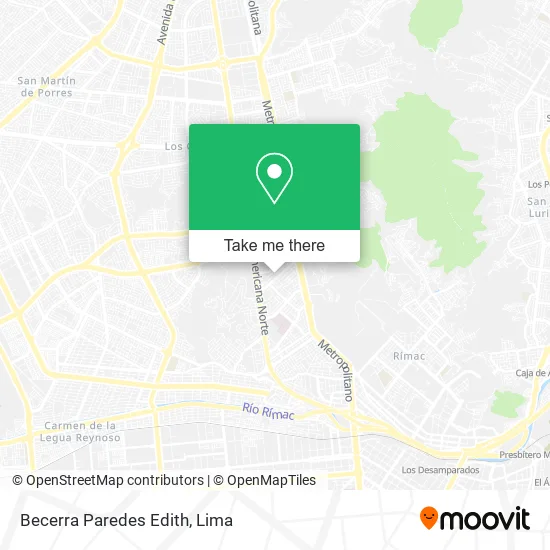
See Becerra Paredes Edith, San Martin, on the map
Public Transit to Becerra Paredes Edith in San Martin
Wondering how to get to Becerra Paredes Edith in San Martin? Moovit helps you find the best way to get to Becerra Paredes Edith with step-by-step directions from the nearest public transit station.
Moovit provides free maps and live directions to help you navigate through your city. View schedules, routes, timetables, and find out how long does it take to get to Becerra Paredes Edith in real time.
Looking for the nearest stop or station to Becerra Paredes Edith? Check out this list of stops closest to your destination: Primavera; Marco Polo; Británico Los Jardines; El Milagro (Norte); El Milagro.
Bus: 1005, 1016, 1176, 1179, 1203, 1235, 1287, 1468, 1476, 1199, IM47, CR43, CR62, 1006, 1010, 1017, 2407, A, B, D.
Want to see if there’s another route that gets you there at an earlier time? Moovit helps you find alternative routes or times. Get directions from and directions to Becerra Paredes Edith easily from the Moovit App or Website.
We make riding to Becerra Paredes Edith easy, which is why over 1.5 million users, including users in San Martin, trust Moovit as the best app for public transit. You don’t need to download an individual bus app or train app, Moovit is your all-in-one transit app that helps you find the best bus time or train time available.
For information on prices of bus and metro, costs and ride fares to Becerra Paredes Edith, please check the Moovit app.
Use the app to navigate to popular places including to the airport, hospital, stadium, grocery store, mall, coffee shop, school, college, and university.
Becerra Paredes Edith Address: Jirón Los Algarrobos 433 Los Jardines Segunda Etapa, 15102 San Martín de Porres street in San Martin
- Ternos Italianos y Antobelly - Taller De Produccion,
- Ferri Tools,
- Estudio Rodríguez Chamorro & Asociados SRL,
- Jr. Los Algarrobos,
- Creaciones Macarena,
- Reprer SRL,
- URB FIORI,
- Goishueta Mitma Franklin Jhon,
- Castillo Gutierrezgladys Marlene,
- C&G,
- Av Bartolomé de las Casas 500 Urb Los Jardines .Panadería San Luis,
- calle los canelos,
- Juan Salvador Gaviota - Centro de Salud Mental,
- Av Enrique Fermi cuadra 377 Urbanización Fiori,
- Vergara,
- Imprentas-Servicios Kadmiel S. A. c. Imprentas,
- Alison,
- Castillo de Chancay,
- Hinostrozaalatristaeverlin Marian,
- Colegio San Pedro
Places Near Becerra Paredes Edith (San Martin)
- av arequipa, Lima,
- Jockey Plaza, Santiago D,
- Real Plaza Puruchuco, Ate,
- Pontificia Universidad Católica del Perú - PUCP, San Miguel,
- Larcomar, Miraflores,
- Barranco, Barranco,
- Plaza San Miguel, San Miguel,
- Hospital Edgardo Rebagliati Martins, Jesus Mari,
- Av. Abancay, Lima,
- Gamarra,
- Parque Kennedy, Miraflores,
- Parque de las Leyendas, San Miguel,
- Av. La Marina, San Miguel,
- Paradero Av.Brasil,
- Centro Comercial Plaza Norte, Independen,
- Mall Del Sur,
- Aeropuerto Internacional Jorge Chávez, Ventanilla,
- Miraflores, Miraflores,
- Av. Salaverry, Jesus Mari,
- Circuito Mágico Del Agua, Lima
How to get to popular places in Lima with public transit
Get around San Martin by public transit!
Traveling around San Martin has never been so easy. See step by step directions as you travel to any attraction, street or major public transit station. View bus and train schedules, arrival times, service alerts and detailed routes on a map, so you know exactly how to get to anywhere in San Martin.
When traveling to any destination around San Martin use Moovit's Live Directions with Get Off Notifications to know exactly where and how far to walk, how long to wait for your line, and how many stops are left. Moovit will alert you when it's time to get off — no need to constantly re-check whether yours is the next stop.
Wondering how to use public transit in San Martin or how to pay for public transit in San Martin? Moovit public transit app can help you navigate your way with public transit easily, and at minimum cost. It includes public transit fees, ticket prices, and costs. Looking for a map of San Martin public transit lines? Moovit public transit app shows all public transit maps in San Martin with all Bus, Metro and Ferry routes and stops on an interactive map.
Lima has 3 transit type(s), including: Bus, Metro and Ferry, operated by several transit agencies, including Metro de Lima Línea 2 , Metro de Lima, Corredor Rojo, Metropolitano, Metropolitano - Alimentadores, Corredor Morado, Corredor Azul, Rutas Tradicionales, Transportes y Servicios La Esperanza S.A., Las Flores S.A., Virgen de la Asunción S.A., Consorcio HAM, Transportes y Service Canadá S.A., ETUL4SA and ETUCHISA