How to get to Benjamin Moore by bus?
Click on the bus route to see step by step directions with maps, line arrival times and updated time schedules.
From West Orange, NJ, West Orange
82 minFrom Community Coach 77 Bus Stop, Livingston
68 minFrom The Funplex, East Hanover
59 minFrom MMNJ, Parsippany-Troy Hills
44 minFrom Parsippany, NJ, Parsippany-Troy Hills
46 minFrom Saint Barnabas Medical Center, Livingston
100 minFrom Union County College - Cranford Campus, Cranford
97 minFrom Lakeland Bus Stop, Parsippany-Troy Hills
32 minFrom Dover, NJ, Dover
57 min
How to get to Benjamin Moore by train?
Click on the train route to see step by step directions with maps, line arrival times and updated time schedules.
Bus stops near Benjamin Moore in Morristown
Train station near Benjamin Moore in Morristown
- Morris Plains, 44 min walk,VIEW
Bus lines to Benjamin Moore in Morristown
What are the closest stations to Benjamin Moore?
The closest stations to Benjamin Moore are:
- Morris St at East Park Pl is 242 yards away, 3 min walk.
- Spring St at Water St is 449 yards away, 6 min walk.
- Morris Plains is 3689 yards away, 44 min walk.
Which bus lines stop near Benjamin Moore?
These bus lines stop near Benjamin Moore: 873, 874, 880.
Which train line stops near Benjamin Moore?
MEL (Dover)
What’s the nearest bus station to Benjamin Moore in Morristown?
The nearest bus station to Benjamin Moore in Morristown is Morris St at East Park Pl. It’s a 3 min walk away.
What time is the first train to Benjamin Moore in Morristown?
The MEL is the first train that goes to Benjamin Moore in Morristown. It stops nearby at 4:23 AM.
What time is the last train to Benjamin Moore in Morristown?
The MEL is the last train that goes to Benjamin Moore in Morristown. It stops nearby at 2:13 AM.
What time is the first bus to Benjamin Moore in Morristown?
The 874 is the first bus that goes to Benjamin Moore in Morristown. It stops nearby at 5:45 AM.
What time is the last bus to Benjamin Moore in Morristown?
The 880 is the last bus that goes to Benjamin Moore in Morristown. It stops nearby at 8:07 PM.
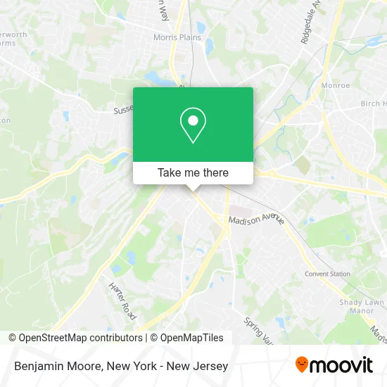
See Benjamin Moore, Morristown, on the map
Public Transit to Benjamin Moore in Morristown
Wondering how to get to Benjamin Moore in Morristown? Moovit helps you find the best way to get to Benjamin Moore with step-by-step directions from the nearest public transit station.
Moovit provides free maps and live directions to help you navigate through your city. View schedules, routes, timetables, and find out how long does it take to get to Benjamin Moore in real time.
Looking for the nearest stop or station to Benjamin Moore? Check out this list of stops closest to your destination: Morris St at East Park Pl; Spring St at Water St; Morris Plains.
Bus: 873, 874, 880, 871, 875, 872.Train: MEL.
Want to see if there’s another route that gets you there at an earlier time? Moovit helps you find alternative routes or times. Get directions from and directions to Benjamin Moore easily from the Moovit App or Website.
We make riding to Benjamin Moore easy, which is why over 1.5 million users, including users in Morristown, trust Moovit as the best app for public transit. You don’t need to download an individual bus app or train app, Moovit is your all-in-one transit app that helps you find the best bus time or train time available.
For information on prices of bus and train, costs and ride fares to Benjamin Moore, please check the Moovit app.
Use the app to navigate to popular places including to the airport, hospital, stadium, grocery store, mall, coffee shop, school, college, and university.
Benjamin Moore Address: 145 South St street in Morristown
- The Stirling Tavern Llc,
- Dustin Corkery Real Estate Professional,
- Mckirdy, Riskin, Olson & Dellapelle, P.C.,
- Valentino's Italian Restaurant,
- Rockbottom Entertainme,
- The Learning Express,
- Learning Express Toys and the Teaching Room Of Morristown,
- Clover Communications,
- Baklava Cafe,
- The Book Nook Of Morristown,
- Apricot Nuts - Morristown NJ,
- Cozy Tux,
- Parsippany Hills High School,
- The Rock Box,
- Kathryn Joseph Salon,
- Mimo Lash Boutique | Lash Extensions, Lash Lift, Brow Lamination, Waxing In Morristown,
- KUMON,
- الإعلامية/ مارينا سمير,
- Junior Tree Service Llc,
- Cedar Creek Behavioral Health
Places Near Benjamin Moore (Morristown)
- Bellevue Hospital, Manhattan,
- Mountainside Hospital, Glen Ridge,
- 911 Memorial, Manhattan,
- 376 Hudson Street, Manhattan,
- Pier 83, Manhattan,
- 26 Federal Plaza, Manhattan,
- Chinatown, Manhattan,
- Times Square, Manhattan,
- Hudson Yards, Manhattan,
- San Gennaro Feast, Manhattan,
- qqqq, Manhattan,
- 1 Police Plaza, Manhattan,
- 3 Stone St, Manhattan,
- Rockefeller Center, Manhattan,
- 66 John Street, Manhattan,
- SoHo, Manhattan,
- Katz's Deli, Manhattan,
- Wall Street, Manhattan,
- Queens Center Mall, Queens,
- 111 Centre New York City Supreme Court, Manhattan
How to get to popular places in New York - New Jersey with public transit
Get around Morristown by public transit!
Traveling around Morristown has never been so easy. See step by step directions as you travel to any attraction, street or major public transit station. View bus and train schedules, arrival times, service alerts and detailed routes on a map, so you know exactly how to get to anywhere in Morristown.
When traveling to any destination around Morristown use Moovit's Live Directions with Get Off Notifications to know exactly where and how far to walk, how long to wait for your line, and how many stops are left. Moovit will alert you when it's time to get off — no need to constantly re-check whether yours is the next stop.
Wondering how to use public transit in Morristown or how to pay for public transit in Morristown? Moovit public transit app can help you navigate your way with public transit easily, and at minimum cost. It includes public transit fees, ticket prices, and costs. Looking for a map of Morristown public transit lines? Moovit public transit app shows all public transit maps in Morristown with all Bus, Train, Subway, Light Rail, Ferry and Cable Car routes and stops on an interactive map.
New York - New Jersey has 6 transit type(s), including: Bus, Train, Subway, Light Rail, Ferry and Cable Car, operated by several transit agencies, including MTA Subway, Metro-North Railroad, LIRR, PATH, MTA New York City Transit - Express routes, MTA Bus, NJ Transit, NYC Ferry, NICE bus, Bee-Line Bus, NJ Transit Rail, Norwalk Transit District, Hartford Line, River Valley Transit and HART