How to get to Benjamin Moore by bus?
Click on the bus route to see step by step directions with maps, line arrival times and updated time schedules.
From 11A Bus to Port Authority, Spring Valley
196 minFrom IKEA Paramus, Paramus
53 minFrom Garden State Plaza, Paramus
59 minFrom Paramus, NJ, Paramus
57 minFrom Hackensack, NJ, Hackensack
47 minFrom Palisades mall, West Nyack
141 minFrom Riverside Square Mall, Hackensack
49 minFrom Bergen Community College, Paramus
67 minFrom Teaneck, NJ, Teaneck
63 minFrom Rockland #45 Express Bus to Port Authority Bus Terminal, NYC, Spring Valley
196 min
How to get to Benjamin Moore by train?
Click on the train route to see step by step directions with maps, line arrival times and updated time schedules.
Train station near Benjamin Moore in Hillsdale
- Park Ridge, 5 min walk,VIEW
What are the closest stations to Benjamin Moore?
The closest stations to Benjamin Moore are:
- Park Ridge is 367 yards away, 5 min walk.
Which bus line stops near Benjamin Moore?
165 (Westwood)
Which train line stops near Benjamin Moore?
PVL (Hoboken)
What’s the nearest train station to Benjamin Moore in Hillsdale?
The nearest train station to Benjamin Moore in Hillsdale is Park Ridge. It’s a 5 min walk away.
What time is the first train to Benjamin Moore in Hillsdale?
The PVL is the first train that goes to Benjamin Moore in Hillsdale. It stops nearby at 5:24 AM.
What time is the last train to Benjamin Moore in Hillsdale?
The PVL is the last train that goes to Benjamin Moore in Hillsdale. It stops nearby at 12:35 AM.
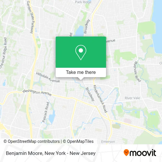
See Benjamin Moore, Hillsdale, on the map
Public Transit to Benjamin Moore in Hillsdale
Wondering how to get to Benjamin Moore in Hillsdale? Moovit helps you find the best way to get to Benjamin Moore with step-by-step directions from the nearest public transit station.
Moovit provides free maps and live directions to help you navigate through your city. View schedules, routes, timetables, and find out how long does it take to get to Benjamin Moore in real time.
Looking for the nearest stop or station to Benjamin Moore? Check out this list of stops closest to your destination: Park Ridge.
Bus: 165.Train: PVL.
Want to see if there’s another route that gets you there at an earlier time? Moovit helps you find alternative routes or times. Get directions from and directions to Benjamin Moore easily from the Moovit App or Website.
We make riding to Benjamin Moore easy, which is why over 1.5 million users, including users in Hillsdale, trust Moovit as the best app for public transit. You don’t need to download an individual bus app or train app, Moovit is your all-in-one transit app that helps you find the best bus time or train time available.
For information on prices of bus and train, costs and ride fares to Benjamin Moore, please check the Moovit app.
Use the app to navigate to popular places including to the airport, hospital, stadium, grocery store, mall, coffee shop, school, college, and university.
Benjamin Moore Address: 1 Winkler Way street in Hillsdale
- Airwalks Entertainment Llc.,
- Rebalance Reiki and Massage,
- Moon Magic,
- Elise Campbell Photography,
- Bitcoin Depot - Bitcoin Atm,
- High Point Chimney,
- Chipotle Mexican Grill,
- Bondmate Garage Door Repair,
- Zocco's,
- United States Postal Service,
- The Exercise Coach,
- 4u Nails & Spa,
- Tt Knives,
- Hillsdale Station NJ Transit,
- 445 Hillsdale Ave Parking,
- Post Office,
- Jersey Mike's Subs,
- American Chimney Cleaning,
- Los Fuertes De Loreto,
- Forum Coffee (Hillsdale)
Places Near Benjamin Moore (Hillsdale)
- 376 Hudson Street, Manhattan,
- SoHo, Manhattan,
- 911 Memorial, Manhattan,
- 66 John Street, Manhattan,
- 1 Police Plaza, Manhattan,
- Pier 83, Manhattan,
- Hudson Yards, Manhattan,
- Mountainside Hospital, Glen Ridge,
- Chinatown, Manhattan,
- Wall Street, Manhattan,
- Times Square, Manhattan,
- 26 Federal Plaza, Manhattan,
- San Gennaro Feast, Manhattan,
- Queens Center Mall, Queens,
- Rockefeller Center, Manhattan,
- Katz's Deli, Manhattan,
- 111 Centre New York City Supreme Court, Manhattan,
- qqqq, Manhattan,
- Bellevue Hospital, Manhattan,
- 3 Stone St, Manhattan
How to get to popular places in New York - New Jersey with public transit
Get around Hillsdale by public transit!
Traveling around Hillsdale has never been so easy. See step by step directions as you travel to any attraction, street or major public transit station. View bus and train schedules, arrival times, service alerts and detailed routes on a map, so you know exactly how to get to anywhere in Hillsdale.
When traveling to any destination around Hillsdale use Moovit's Live Directions with Get Off Notifications to know exactly where and how far to walk, how long to wait for your line, and how many stops are left. Moovit will alert you when it's time to get off — no need to constantly re-check whether yours is the next stop.
Wondering how to use public transit in Hillsdale or how to pay for public transit in Hillsdale? Moovit public transit app can help you navigate your way with public transit easily, and at minimum cost. It includes public transit fees, ticket prices, and costs. Looking for a map of Hillsdale public transit lines? Moovit public transit app shows all public transit maps in Hillsdale with all Bus, Train, Subway, Light Rail, Ferry and Cable Car routes and stops on an interactive map.
New York - New Jersey has 6 transit type(s), including: Bus, Train, Subway, Light Rail, Ferry and Cable Car, operated by several transit agencies, including MTA Subway, Metro-North Railroad, LIRR, PATH, MTA New York City Transit - Express routes, MTA Bus, NJ Transit, NYC Ferry, NICE bus, Bee-Line Bus, NJ Transit Rail, Norwalk Transit District, Hartford Line, River Valley Transit and HART