How to get to Benjamin Moore by bus?
Click on the bus route to see step by step directions with maps, line arrival times and updated time schedules.
From Parsippany, NJ, Parsippany-Troy Hills
83 minFrom Totowa, NJ, Totowa
107 minFrom Lakeland Bus Stop, Parsippany-Troy Hills
69 minFrom Mountain Creek Waterpark, West Milford
228 minFrom West Orange, NJ, West Orange
135 minFrom Wayne, NJ, Wayne
167 minFrom The Funplex, East Hanover
93 minFrom MMNJ, Parsippany-Troy Hills
82 minFrom Saint Barnabas Medical Center, Livingston
120 minFrom Community Coach 77 Bus Stop, Livingston
101 min
Bus stop near Benjamin Moore in Dover
- E Blackwell St at Bergen St, 1 min walk,VIEW
Train station near Benjamin Moore in Dover
- Dover, 44 min walk,VIEW
Bus lines to Benjamin Moore in Dover
What are the closest stations to Benjamin Moore?
The closest stations to Benjamin Moore are:
- E Blackwell St at Bergen St is 15 yards away, 1 min walk.
- Dover is 3798 yards away, 44 min walk.
Which bus lines stop near Benjamin Moore?
These bus lines stop near Benjamin Moore: 875, 880.
Which train line stops near Benjamin Moore?
MEL (Dover)
What’s the nearest bus station to Benjamin Moore in Dover?
The nearest bus station to Benjamin Moore in Dover is E Blackwell St at Bergen St. It’s a 1 min walk away.
What time is the first train to Benjamin Moore in Dover?
The MEL is the first train that goes to Benjamin Moore in Dover. It stops nearby at 3:02 AM.
What time is the last train to Benjamin Moore in Dover?
The MEL is the last train that goes to Benjamin Moore in Dover. It stops nearby at 2:30 AM.
What time is the first bus to Benjamin Moore in Dover?
The 880 is the first bus that goes to Benjamin Moore in Dover. It stops nearby at 6:23 AM.
What time is the last bus to Benjamin Moore in Dover?
The 880 is the last bus that goes to Benjamin Moore in Dover. It stops nearby at 7:27 PM.
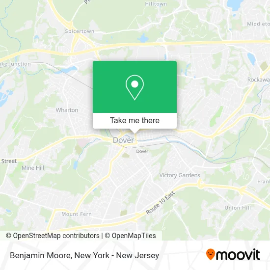
See Benjamin Moore, Dover, on the map
Public Transit to Benjamin Moore in Dover
Wondering how to get to Benjamin Moore in Dover? Moovit helps you find the best way to get to Benjamin Moore with step-by-step directions from the nearest public transit station.
Moovit provides free maps and live directions to help you navigate through your city. View schedules, routes, timetables, and find out how long does it take to get to Benjamin Moore in real time.
Looking for the nearest stop or station to Benjamin Moore? Check out this list of stops closest to your destination: E Blackwell St at Bergen St; Dover.
Bus: 875, 880.Train: MEL, ML.
Want to see if there’s another route that gets you there at an earlier time? Moovit helps you find alternative routes or times. Get directions from and directions to Benjamin Moore easily from the Moovit App or Website.
We make riding to Benjamin Moore easy, which is why over 1.5 million users, including users in Dover, trust Moovit as the best app for public transit. You don’t need to download an individual bus app or train app, Moovit is your all-in-one transit app that helps you find the best bus time or train time available.
For information on prices of bus and train, costs and ride fares to Benjamin Moore, please check the Moovit app.
Use the app to navigate to popular places including to the airport, hospital, stadium, grocery store, mall, coffee shop, school, college, and university.
Benjamin Moore Address: 52 N Sussex St street in Dover
- Iglesia Nuevo Amanecer Dover,
- Range Appliance Repair,
- Dover, NJ,
- Zoogo Bakery Delicia Casera,
- Ceasar Beauty Salon,
- Centro Internacional Para la Familia,
- The Good Bean,
- Delicias Tortalandia,
- Familia Grocery Store,
- Town of Dover Fire Department,
- Excelcare at Dover,
- El Capricho,
- C&G Automotive Llc,
- Elizabeth Barreto,
- Sabor Latino Restaurant Bar,
- Almighty Tree Service Llc,
- Vicky’S Boutique,
- 26 US-46,
- Conoco,
- Priceless Car Rental
Places Near Benjamin Moore (Dover)
- Rockefeller Center, Manhattan,
- Chinatown, Manhattan,
- Times Square, Manhattan,
- qqqq, Manhattan,
- San Gennaro Feast, Manhattan,
- Bellevue Hospital, Manhattan,
- 376 Hudson Street, Manhattan,
- Hudson Yards, Manhattan,
- 111 Centre New York City Supreme Court, Manhattan,
- 26 Federal Plaza, Manhattan,
- 911 Memorial, Manhattan,
- Katz's Deli, Manhattan,
- 66 John Street, Manhattan,
- 3 Stone St, Manhattan,
- Pier 83, Manhattan,
- 1 Police Plaza, Manhattan,
- Mountainside Hospital, Glen Ridge,
- SoHo, Manhattan,
- Queens Center Mall, Queens,
- Wall Street, Manhattan
How to get to popular places in New York - New Jersey with public transit
Get around Dover by public transit!
Traveling around Dover has never been so easy. See step by step directions as you travel to any attraction, street or major public transit station. View bus and train schedules, arrival times, service alerts and detailed routes on a map, so you know exactly how to get to anywhere in Dover.
When traveling to any destination around Dover use Moovit's Live Directions with Get Off Notifications to know exactly where and how far to walk, how long to wait for your line, and how many stops are left. Moovit will alert you when it's time to get off — no need to constantly re-check whether yours is the next stop.
Wondering how to use public transit in Dover or how to pay for public transit in Dover? Moovit public transit app can help you navigate your way with public transit easily, and at minimum cost. It includes public transit fees, ticket prices, and costs. Looking for a map of Dover public transit lines? Moovit public transit app shows all public transit maps in Dover with all Bus, Train, Subway, Light Rail, Ferry and Cable Car routes and stops on an interactive map.
New York - New Jersey has 6 transit type(s), including: Bus, Train, Subway, Light Rail, Ferry and Cable Car, operated by several transit agencies, including MTA Subway, Metro-North Railroad, LIRR, PATH, MTA New York City Transit - Express routes, MTA Bus, NJ Transit, NYC Ferry, NICE bus, Bee-Line Bus, NJ Transit Rail, Norwalk Transit District, Hartford Line, River Valley Transit and HART