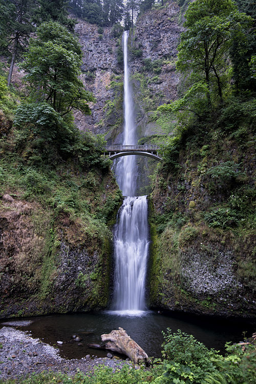
Directions to Benson Bridge (Portland, OR) with public transportation
The following transit lines have routes that pass near Benson Bridge
 Bus: COLUMBIA GORGE EXPRESS.
How to get to Benson Bridge by bus?
Click on the bus route to see step by step directions with maps, line arrival times and updated time schedules.
Bus stop near Benson Bridge in Portland, OR
- Multnomah Falls (Westbound), 8 min walk,
Bus lines to Benson Bridge in Portland, OR
- COLUMBIA GORGE EXPRESS, Columbia Gorge Express,
What are the closest stations to Benson Bridge?
The closest stations to Benson Bridge are:
- Multnomah Falls (Westbound) stop is 638 yards away, 8 min walk.
Which bus line stops near Benson Bridge?
COLUMBIA GORGE EXPRESS (Columbia Gorge Express)
What’s the nearest bus station to Benson Bridge in Portland, OR?
The nearest bus station to Benson Bridge in Portland, OR is Multnomah Falls (Westbound). It’s a 8 min walk away.
What time is the first bus to Benson Bridge in Portland, OR?
The COLUMBIA GORGE EXPRESS is the first bus that goes to Benson Bridge in Portland, OR. It stops nearby at 7:50 AM.
What time is the last bus to Benson Bridge in Portland, OR?
The COLUMBIA GORGE EXPRESS is the last bus that goes to Benson Bridge in Portland, OR. It stops nearby at 6:05 PM.
See Benson Bridge, Portland, OR, on the map
Public Transit to Benson Bridge in Portland, OR
How to get to Benson Bridge in Portland, OR, United States?
It’s easy with Moovit. Type in your street address and Moovit’s route finder will locate the fastest way to get you there! Not sure where to get off on the street? Download the Moovit App to find live directions (including where to get off on Benson Bridge), see timetables and get the estimated arrival times for your favorite bus lines.
Looking for the nearest stop or station to Benson Bridge? Check out this list of closest stops available to your destination: Multnomah Falls (Westbound).
Bus: COLUMBIA GORGE EXPRESS.
Download the Moovit App to see the current schedule and routes available for Portland, OR. No need to install a special bus app to check the bus time or a train app to get train time. Moovit is the only all-in-one transit app that helps you get where you need to go.
We make riding on public transit to Benson Bridge easy, which is why over 1.7 billion users, including users in Portland, OR trust Moovit as the best app for public transit.
Use the app to navigate to popular places including to the airport, hospital, stadium, grocery store, mall, coffee shop, school, college, and university.
Location: Portland, OR
- Top of the Falls Trail #441a, Unknown,
- Return Trail #442, Unknown,
- Wahkeena Trail #420, Unknown,
- Vista Point Trail #419, Unknown,
- Lemmons Viewpoint Trail #420b, Unknown,
- Benson State Recreation Area, Unknown,
- Benson State Park, Unknown,
- Gorge Trail #400 (Closed), Unknown,
- Multnomah Basin Road, Unknown,
- Primrose Path, Unknown,
- Devils Rest Trail #420c, Unknown,
- Devil's Cutoff, Unknown,
- Lily's Lane, Unknown,
- Devil's Fork, Unknown,
- Larch Mountain Trail #441, Unknown,
- Foxglove Way, Unknown,
- Snowberry Lane, Unknown,
- Prindle Road, Unknown,
- Forest Road 1520, Unknown,
- Wiggin Way, Unknown
Streets near Benson Bridge, Portland, OR
Get around Portland, OR by public transit!
Traveling around Portland, OR has never been so easy. See step by step directions as you travel to any attraction, street or major public transit station. View bus and train schedules, arrival times, service alerts and detailed routes on a map, so you know exactly how to get to anywhere in Portland, OR.
When traveling to any destination around Portland, OR use Moovit's Live Directions with Get Off Notifications to know exactly where and how far to walk, how long to wait for your line, and how many stops are left. Moovit will alert you when it's time to get off — no need to constantly re-check whether yours is the next stop.
Wondering how to use public transit in Portland, OR or how to pay for public transit in Portland, OR? Moovit public transit app can help you navigate your way with public transit easily, and at minimum cost. It includes public transit fees, ticket prices, and costs. Looking for a map of Portland, OR public transit lines? Moovit public transit app shows all public transit maps in Portland, OR with all Bus, Train, Light Rail, Ferry, Streetcar and Gondola routes and stops on an interactive map.
Portland, OR has 6 transit type(s), including: Bus, Train, Light Rail, Ferry, Streetcar and Gondola, operated by several transit agencies, including Mount Adams Transportation Service, RiverCities Transit, TriMet , TriMet , TriMet, Portland Streetcar, Portland Aerial Tram, C-TRAN, Multnomah County Transit, Washington Park, SMART, Canby Area Transit, South Clackamas Transportation District, The Wave and Lincoln County Transit