How to get to Bernie Mev by bus?
Click on the bus route to see step by step directions with maps, line arrival times and updated time schedules.
From 177th Fort Washington Ave, Manhattan
18 minFrom Garden State Plaza, Paramus
42 minFrom Broadway and 168th St, Manhattan
31 minFrom The Bronx Zoo, Bronx
68 minFrom Metro North - Harlem - 125th Street Station, Manhattan
59 minFrom Harlem, Manhattan
63 minFrom MTA X80 - Manhattan to Randall's Island, Manhattan
57 minFrom Brook Ave, Bronx
54 minFrom Empire City Casino, Yonkers
102 minFrom 125th St & Park Ave, Manhattan
59 min
Bus stops near Bernie Mev in Englewood
Bus lines to Bernie Mev in Englewood
What are the closest stations to Bernie Mev?
The closest stations to Bernie Mev are:
- Engle St at Palisade Ave is 141 yards away, 3 min walk.
- Palisade Ave at Railroad Crossing is 157 yards away, 3 min walk.
- Grand Ave & Palisade Ave is 244 yards away, 4 min walk.
Which bus lines stop near Bernie Mev?
These bus lines stop near Bernie Mev: 166, 178, 756.
What’s the nearest bus station to Bernie Mev in Englewood?
The nearest bus stations to Bernie Mev in Englewood are Engle St at Palisade Ave and Palisade Ave at Railroad Crossing. The closest one is a 3 min walk away.
What time is the first bus to Bernie Mev in Englewood?
The 166 is the first bus that goes to Bernie Mev in Englewood. It stops nearby at 4:20 AM.
What time is the last bus to Bernie Mev in Englewood?
The 166 is the last bus that goes to Bernie Mev in Englewood. It stops nearby at 2:40 AM.
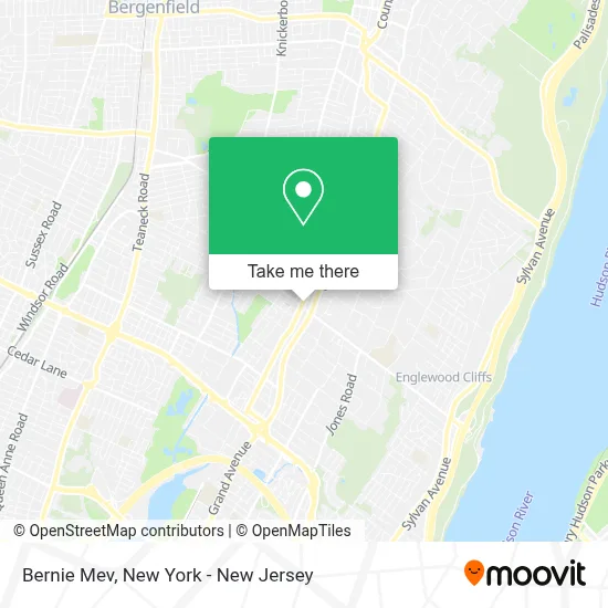
See Bernie Mev, Englewood, on the map
Public Transit to Bernie Mev in Englewood
Wondering how to get to Bernie Mev in Englewood? Moovit helps you find the best way to get to Bernie Mev with step-by-step directions from the nearest public transit station.
Moovit provides free maps and live directions to help you navigate through your city. View schedules, routes, timetables, and find out how long does it take to get to Bernie Mev in real time.
Looking for the nearest stop or station to Bernie Mev? Check out this list of stops closest to your destination: Engle St at Palisade Ave; Palisade Ave at Railroad Crossing; Grand Ave & Palisade Ave.
Bus: 166, 178, 756, 780, 186, ROCKLAND COACHES.
Want to see if there’s another route that gets you there at an earlier time? Moovit helps you find alternative routes or times. Get directions from and directions to Bernie Mev easily from the Moovit App or Website.
We make riding to Bernie Mev easy, which is why over 1.5 million users, including users in Englewood, trust Moovit as the best app for public transit. You don’t need to download an individual bus app or train app, Moovit is your all-in-one transit app that helps you find the best bus time or train time available.
For information on prices of bus and subway, costs and ride fares to Bernie Mev, please check the Moovit app.
Use the app to navigate to popular places including to the airport, hospital, stadium, grocery store, mall, coffee shop, school, college, and university.
Bernie Mev Address: 15 N Dean St street in Englewood
- Llama House,
- Akai Lounge Englewood,
- Monafied Inc,
- Akt Designs Llc,
- Cardona Cardona Salon,
- Getcoins Bitcoin Atm,
- The Hangout NJ,
- STARBUCKS,
- Florentia Boutique,
- La Cuchara,
- Portage NJ,
- Kitchen & Flooring Gallery,
- Toy River,
- Hey Yogurt,
- Verizon,
- Blue Akai,
- Psychic Healing by Lisa,
- Gong Cha,
- Coco Jolie Chocol,
- Mosquitoes Pest Control Services Pest Control
Places Near Bernie Mev (Englewood)
- Katz's Deli, Manhattan,
- Rockefeller Center, Manhattan,
- SoHo, Manhattan,
- Pier 83, Manhattan,
- qqqq, Manhattan,
- Mountainside Hospital, Glen Ridge,
- 66 John Street, Manhattan,
- 911 Memorial, Manhattan,
- 111 Centre New York City Supreme Court, Manhattan,
- Queens Center Mall, Queens,
- 376 Hudson Street, Manhattan,
- 3 Stone St, Manhattan,
- 26 Federal Plaza, Manhattan,
- Hudson Yards, Manhattan,
- 1 Police Plaza, Manhattan,
- San Gennaro Feast, Manhattan,
- Wall Street, Manhattan,
- Chinatown, Manhattan,
- Times Square, Manhattan,
- Bellevue Hospital, Manhattan
How to get to popular places in New York - New Jersey with public transit
Get around Englewood by public transit!
Traveling around Englewood has never been so easy. See step by step directions as you travel to any attraction, street or major public transit station. View bus and train schedules, arrival times, service alerts and detailed routes on a map, so you know exactly how to get to anywhere in Englewood.
When traveling to any destination around Englewood use Moovit's Live Directions with Get Off Notifications to know exactly where and how far to walk, how long to wait for your line, and how many stops are left. Moovit will alert you when it's time to get off — no need to constantly re-check whether yours is the next stop.
Wondering how to use public transit in Englewood or how to pay for public transit in Englewood? Moovit public transit app can help you navigate your way with public transit easily, and at minimum cost. It includes public transit fees, ticket prices, and costs. Looking for a map of Englewood public transit lines? Moovit public transit app shows all public transit maps in Englewood with all Bus, Train, Subway, Light Rail, Ferry and Cable Car routes and stops on an interactive map.
New York - New Jersey has 6 transit type(s), including: Bus, Train, Subway, Light Rail, Ferry and Cable Car, operated by several transit agencies, including MTA Subway, Metro-North Railroad, LIRR, PATH, MTA New York City Transit - Express routes, MTA Bus, NJ Transit, NYC Ferry, NICE bus, Bee-Line Bus, NJ Transit Rail, Norwalk Transit District, Hartford Line, River Valley Transit and HART