How to get to Best Servicex by bus?
Click on the bus route to see step by step directions with maps, line arrival times and updated time schedules.
From Barbara Goleman Senior High, Hialeah
103 minFrom SW 122 Ave & Coral Way, Kendale Lakes-Tamiami
65 minFrom Tropical Park, Miami
87 minFrom Even Hotel Miami - Airport, An Ihg Hotel, Miami
94 minFrom Hialeah Hospital Emergency Room, Hialeah
97 minFrom Florida Lottery, Miami
110 minFrom Tri Rail Metrorail Transfer Station, Miami
98 minFrom Sawgrass Mall, Miami
68 minFrom N Le Jeune Rd / SW 42nd Ave, Miami
90 minFrom NW 37th Ave, Miami
103 min
Bus stops near Best Servicex in North Westside
Bus lines to Best Servicex in North Westside
What are the closest stations to Best Servicex?
The closest stations to Best Servicex are:
- Nw 41 St & Nw 97 Av (E/n) is 21 yards away, 1 min walk.
- Nw 97 Av & 41 St is 44 yards away, 1 min walk.
- Nw 41 St & 97 Av is 154 yards away, 2 min walk.
Which bus lines stop near Best Servicex?
These bus lines stop near Best Servicex: 132, 87, DLOOP1, DLOOP2, DLOOP3.
What’s the nearest bus station to Best Servicex in North Westside?
The nearest bus stations to Best Servicex in North Westside are Nw 41 St & Nw 97 Av (E/n) and Nw 97 Av & 41 St. The closest one is a 1 min walk away.
What time is the first bus to Best Servicex in North Westside?
The DLOOP1 is the first bus that goes to Best Servicex in North Westside. It stops nearby at 6:29 AM.
What time is the last bus to Best Servicex in North Westside?
The DLOOP1 is the last bus that goes to Best Servicex in North Westside. It stops nearby at 9:46 PM.
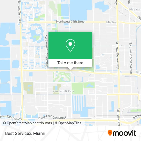
See Best Servicex, North Westside, on the map
Public Transit to Best Servicex in North Westside
Wondering how to get to Best Servicex in North Westside? Moovit helps you find the best way to get to Best Servicex with step-by-step directions from the nearest public transit station.
Moovit provides free maps and live directions to help you navigate through your city. View schedules, routes, timetables, and find out how long does it take to get to Best Servicex in real time.
Looking for the nearest stop or station to Best Servicex? Check out this list of stops closest to your destination: Nw 41 St & Nw 97 Av (E/n); Nw 97 Av & 41 St; Nw 41 St & 97 Av.
Bus: 132, 87, DLOOP1, DLOOP2, DLOOP3, 95.
Want to see if there’s another route that gets you there at an earlier time? Moovit helps you find alternative routes or times. Get directions from and directions to Best Servicex easily from the Moovit App or Website.
We make riding to Best Servicex easy, which is why over 1.5 million users, including users in North Westside, trust Moovit as the best app for public transit. You don’t need to download an individual bus app or train app, Moovit is your all-in-one transit app that helps you find the best bus time or train time available.
For information on prices of bus and train, costs and ride fares to Best Servicex, please check the Moovit app.
Use the app to navigate to popular places including to the airport, hospital, stadium, grocery store, mall, coffee shop, school, college, and university.
Best Servicex Address: Doral Blvd Miami, FL 33178 street in North Westside
- Borjas Hvac,
- Mc4 Services,
- Tropical Scoopers,
- Boxheroes,
- Ev Solar,
- Kasa Services,
- Jacquelin Rodriguez,
- RT Auto Performance,
- Splasho Pressure Washing,
- NMC,
- RB Tattoo Artist,
- Box & Trailer Repair Center,
- Sweet Lab 3,
- Rent My Flowers Plus,
- Servicios Ejecutivos Marisa,
- Maxplus Services,
- Gabriel Reyes - Lifestyle International Realty,
- Veronica Andonie,
- Dr. Nail Miami,
- Irimaki
Places Near Best Servicex (North Westside)
- Richard E. Gerstein Justice Building, Miami,
- Miami Freedom Park, Miami,
- Miami Design District, Miami,
- Sawgrass Mall, Miami,
- Miami-Dade County Courthouse, Miami,
- Zoo Miami, Miami,
- Dolphin Mall, Miami,
- Bayside Marketplace, Miami,
- Hard Rock Stadium, Miami Gardens,
- Dolphin Mall Bus, Miami,
- Sawgrass mall ( FL ), Miami Beach,
- Port of Miami Cruise Terminal, Miami,
- Brickell City Centre, Miami,
- Aventura Mall, Miami Beach,
- Little Havana, Miami,
- Marlins Park, Miami,
- Miami VA Hospital, Miami,
- Wynwood, Miami,
- Keiser University Flagship Campus, West Palm Beach,
- Aventura Mall, Miami
How to get to popular places in Miami with public transit
Get around North Westside by public transit!
Traveling around North Westside has never been so easy. See step by step directions as you travel to any attraction, street or major public transit station. View bus and train schedules, arrival times, service alerts and detailed routes on a map, so you know exactly how to get to anywhere in North Westside.
When traveling to any destination around North Westside use Moovit's Live Directions with Get Off Notifications to know exactly where and how far to walk, how long to wait for your line, and how many stops are left. Moovit will alert you when it's time to get off — no need to constantly re-check whether yours is the next stop.
Wondering how to use public transit in North Westside or how to pay for public transit in North Westside? Moovit public transit app can help you navigate your way with public transit easily, and at minimum cost. It includes public transit fees, ticket prices, and costs. Looking for a map of North Westside public transit lines? Moovit public transit app shows all public transit maps in North Westside with all Bus, Train, Light Rail and Ferry routes and stops on an interactive map.
Miami has 4 transit type(s), including: Bus, Train, Light Rail and Ferry, operated by several transit agencies, including Broward County Transit, Miami-Dade Transit, Metrorail, Palm Tran, Tri-Rail, Brightline, MARTY, City of Homestead Trolley, Key West Transit, Treasure Coast Connector, GoLine IRT, Amtrak, Greyhound-us, FlixBus-us and Aventura Express Shuttle Bus