Beverly / Sweetzer stop - Thursday schedule
| Line | Direction | Time |
|---|---|---|
| 14/37 | Washington / Fairfax Transit Hub | 5:15 AM |
| 14/37 | Washington / Fairfax Transit Hub | 5:48 AM |
| 14/37 | Washington / Fairfax Transit Hub | 5:59 AM |
| 14/37 | Washington / Fairfax Transit Hub | 6:09 AM |
| 14/37 | Washington / Fairfax Transit Hub | 6:20 AM |
| 14/37 | Washington / Fairfax Transit Hub | 6:31 AM |
| 14/37 | Washington / Fairfax Transit Hub | 6:41 AM |
| 14/37 | Washington / Fairfax Transit Hub | 6:49 AM |
| 14/37 | Washington / Fairfax Transit Hub | 6:58 AM |
| 14/37 | Washington / Fairfax Transit Hub | 7:05 AM |
| 14/37 | Washington / Fairfax Transit Hub | 7:11 AM |
| 14/37 | Washington / Fairfax Transit Hub | 7:18 AM |
| 14/37 | Downtown LA | 7:24 AM |
| 14/37 | Washington / Fairfax Transit Hub | 7:28 AM |
| 14/37 | Downtown LA | 7:33 AM |
| 14/37 | Washington / Fairfax Transit Hub | 7:38 AM |
| 14/37 | Downtown LA | 7:43 AM |
| 14/37 | Washington / Fairfax Transit Hub | 7:48 AM |
| 14/37 | Washington / Fairfax Transit Hub | 7:56 AM |
| 14/37 | Washington / Fairfax Transit Hub | 8:09 AM |
| 14/37 | Washington / Fairfax Transit Hub | 8:21 AM |
| 14/37 | Washington / Fairfax Transit Hub | 8:33 AM |
| 14/37 | Washington / Fairfax Transit Hub | 8:46 AM |
| 14/37 | Washington / Fairfax Transit Hub | 9:00 AM |
| 14/37 | Washington / Fairfax Transit Hub | 9:15 AM |
Directions to Beverly / Sweetzer stop (Beverly Grove) with public transit
The following transit lines have routes that pass near Beverly / Sweetzer
 Bus: 14/37, 16, 218, 105, DASH.
How to get to Beverly / Sweetzer stop by bus?
Click on the bus route to see step by step directions with maps, line arrival times and updated time schedules.
Bus stops near Beverly / Sweetzer stop in Beverly Grove
- Beverly / Sweetzer, 1 min walk,
- 3rd / Sweetzer, 5 min walk,
- LA Cienega / Beverly, 9 min walk,
- LA Cienega Blvd & Beverly (Southbound), 9 min walk,
Bus lines to Beverly / Sweetzer stop in Beverly Grove
- 14/37, Downtown LA,
- 16, Downtown LA - 6th - Los Angeles,
- 218, Studio City,
- 105, West Hollywood,
- DASH, Eastbound,
What are the closest stations to Beverly / Sweetzer?
The closest stations to Beverly / Sweetzer are:
- Beverly / Sweetzer is 59 yards away, 1 min walk.
- 3rd / Sweetzer is 420 yards away, 5 min walk.
- LA Cienega / Beverly is 684 yards away, 9 min walk.
- LA Cienega Blvd & Beverly (Southbound) is 697 yards away, 9 min walk.
Which bus lines stop near Beverly / Sweetzer?
These bus lines stop near Beverly / Sweetzer: 14/37, 16, 218.
What’s the nearest bus station to Beverly / Sweetzer in Beverly Grove?
The nearest bus station to Beverly / Sweetzer in Beverly Grove is Beverly / Sweetzer. It’s a 1 min walk away.
What time is the first bus to Beverly / Sweetzer in Beverly Grove?
The 16 is the first bus that goes to Beverly / Sweetzer in Beverly Grove. It stops nearby at 3:32 AM.
What time is the last bus to Beverly / Sweetzer in Beverly Grove?
The 16 is the last bus that goes to Beverly / Sweetzer in Beverly Grove. It stops nearby at 2:59 AM.
Beverly / Sweetzer station
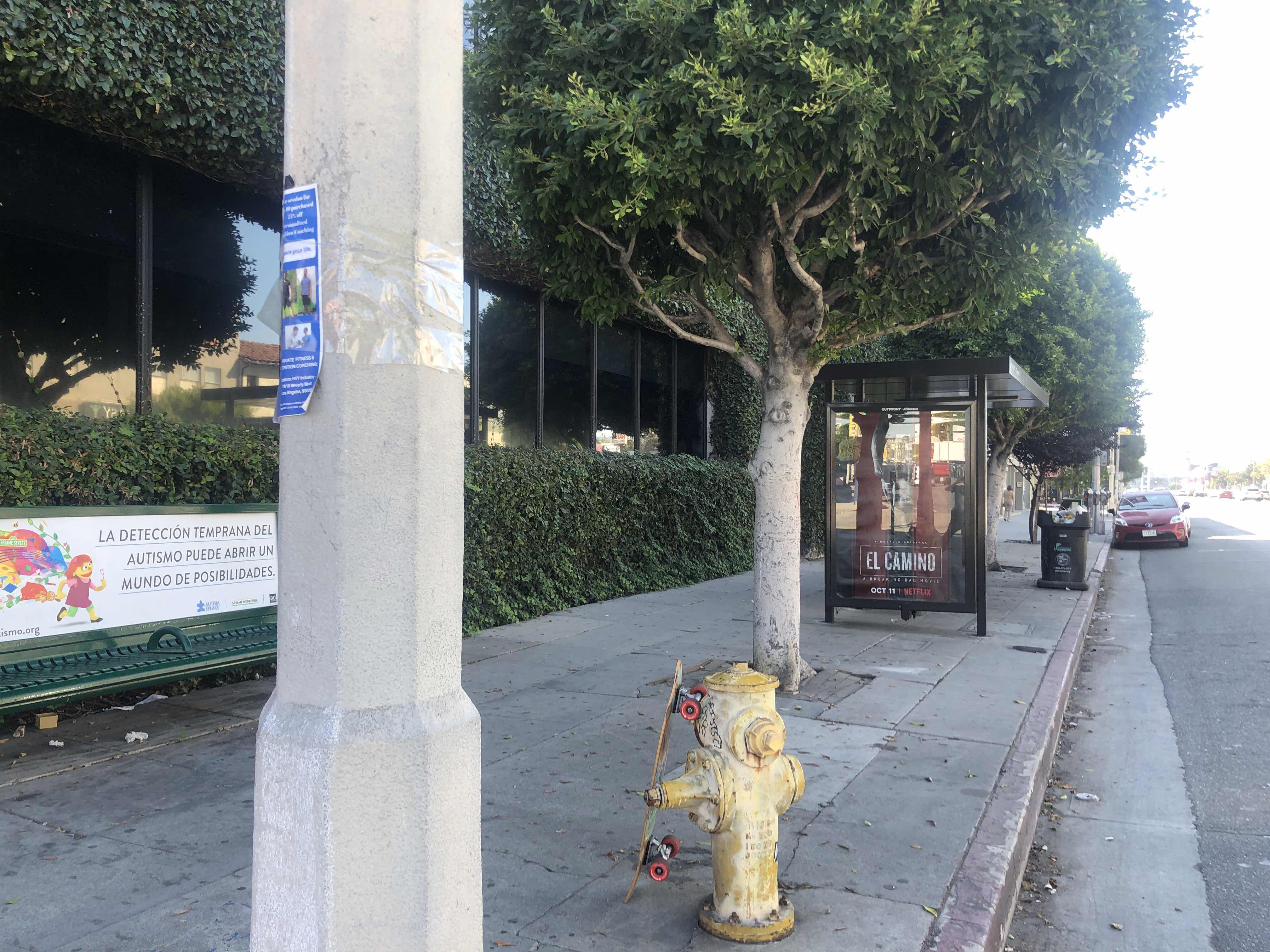 Taken by Anonymous
See Beverly / Sweetzer stop, Beverly Grove, on the map
Public transit to Beverly / Sweetzer stop (ID: 9019) in Beverly Grove
Looking for directions to Beverly / Sweetzer in Beverly Grove, United States?
Download the Moovit App to find the current schedule and step-by-step directions for Bus or Subway routes that pass through Beverly / Sweetzer.
Looking for the nearest stops closest to Beverly / Sweetzer ? Check out this list of closest stops to your destination: Beverly / Sweetzer; 3rd / Sweetzer; LA Cienega / Beverly; LA Cienega Blvd & Beverly (Southbound).
Bus: 14/37, 16, 218, 105, DASH.
We make riding on public transit to Beverly / Sweetzer easy, which is why over 1.5 million users, including users in Beverly Grove trust Moovit as the best app for public transit.
Use the app to navigate to popular places including to the airport, hospital, stadium, grocery store, mall, coffee shop, school, college, and university.
Beverly / Sweetzer stop’s code is 9019
The first line to this stop is 14/37, at 5:15 AM, and the last line is 14/37 at 12:36 AM.
8300 Beverly Blvd, Los Angeles, CA, USA
This stop serves Metro’s lines
- Beverly / Sweetzer,
- 3rd / Sweetzer,
- LA Cienega / Beverly,
- LA Cienega Blvd & Beverly (Southbound)
Bus stops near Beverly / Sweetzer stop
- Burbank / Van Nuys,
- Telegraph / Valley View,
- Ventura / Newcastle,
- Ventura & Channel Islands,
- Figueroa St & Venice Blvd,
- 120th St & Avalon Blvd (Westbound),
- Burbank Airport RITC,
- Main / Santa Anita,
- Vermont Ave. & 59th St.,
- Riggin / Atlantic,
- Central / Alondra,
- Pacific Coast Hwy Station,
- Figueroa & York Blvd. (Westbound),
- Fullerton Station,
- Sherman Way / Tampa,
- Plummer & Reseda,
- Columbus Ave & Parthenia St Eastbound,
- San Pedro / Adams,
- Orangethorpe / Magnolia,
- Garvey Ave. and Peck Rd.
Popular public transit stations in Beverly Grove
Get around Beverly Grove by public transit!
Traveling around Beverly Grove has never been so easy. See step by step directions as you travel to any attraction, street or major public transit station. View bus and train schedules, arrival times, service alerts and detailed routes on a map, so you know exactly how to get to anywhere in Beverly Grove.
When traveling to any destination around Beverly Grove use Moovit's Live Directions with Get Off Notifications to know exactly where and how far to walk, how long to wait for your line, and how many stops are left. Moovit will alert you when it's time to get off — no need to constantly re-check whether yours is the next stop.
Wondering how to use public transit in Beverly Grove or how to pay for public transit in Beverly Grove? Moovit public transit app can help you navigate your way with public transit easily, and at minimum cost. It includes public transit fees, ticket prices, and costs. Looking for a map of Beverly Grove public transit lines? Moovit public transit app shows all public transit maps in Beverly Grove with all Bus, Train, Subway, Ferry and Funicular routes and stops on an interactive map.
Los Angeles has 5 transit type(s), including: Bus, Train, Subway, Ferry and Funicular, operated by several transit agencies, including Metro, Metrolink Trains, Long Beach Transit, LADOT, OCTA, Foothill Transit, Big Blue Bus, Riverside Transit Agency, LAX FlyAway, LAX Shuttle and Airline Connections, Airporter Shuttle, Playa Vista Shuttle, Amtrak, OMNITRANS and El Monte Transit