How to get to Blue Locksmith Inc by bus?
Click on the bus route to see step by step directions with maps, line arrival times and updated time schedules.
From Sawgrass Mills Mall, Miami
62 minFrom Seminole Hard Rock Hotel & Casino Hollywood (Seminole Hard Rock Hollywood Casino), Davie
80 minFrom Walmart, Miami
50 minFrom Seminole Hard Rock Hotel & Casino Hollywood, Davie
80 minFrom Walmart Supercenter, Hollywood
50 minFrom Fort Lauderdale Airport, Hollywood
44 minFrom Intersection I 95 & Sheridan St, Hollywood
41 minFrom Haulover Inlet, Miami Beach
49 minFrom Miami International Autodrome F1 Track, Miami Gardens
112 minFrom Omega Maintenance Services, Miramar-Pembroke Pines
64 min
How to get to Blue Locksmith Inc by train?
Click on the train route to see step by step directions with maps, line arrival times and updated time schedules.
Bus stops near Blue Locksmith Inc in Hallandale Beach
Train station near Blue Locksmith Inc in Hallandale Beach
- Aventura, 51 min walk,VIEW
Bus lines to Blue Locksmith Inc in Hallandale Beach
What are the closest stations to Blue Locksmith Inc?
The closest stations to Blue Locksmith Inc are:
- US 1/Northeast 3rd Street is 133 yards away, 2 min walk.
- US 1/Northeast 4th Street South is 184 yards away, 3 min walk.
- Hallandl Bch B/Ne 8 A is 222 yards away, 3 min walk.
- US 1 & Hallandale Beach Boulevard is 624 yards away, 8 min walk.
- Aventura is 4372 yards away, 51 min walk.
Which bus lines stop near Blue Locksmith Inc?
These bus lines stop near Blue Locksmith Inc: 01, 101, 28.
Which train line stops near Blue Locksmith Inc?
BLFM (Mco)
What’s the nearest bus station to Blue Locksmith Inc in Hallandale Beach?
The nearest bus station to Blue Locksmith Inc in Hallandale Beach is US 1/Northeast 3rd Street. It’s a 2 min walk away.
What time is the first train to Blue Locksmith Inc in Hallandale Beach?
The BLFM is the first train that goes to Blue Locksmith Inc in Hallandale Beach. It stops nearby at 6:09 AM.
What time is the last train to Blue Locksmith Inc in Hallandale Beach?
The BLFM is the last train that goes to Blue Locksmith Inc in Hallandale Beach. It stops nearby at 12:07 AM.
What time is the first bus to Blue Locksmith Inc in Hallandale Beach?
The 101 is the first bus that goes to Blue Locksmith Inc in Hallandale Beach. It stops nearby at 4:44 AM.
What time is the last bus to Blue Locksmith Inc in Hallandale Beach?
The 28 is the last bus that goes to Blue Locksmith Inc in Hallandale Beach. It stops nearby at 1:00 AM.
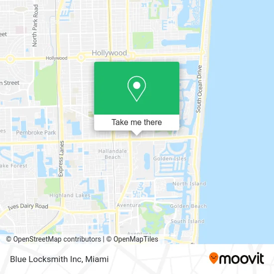
See Blue Locksmith Inc, Hallandale Beach, on the map
Public Transit to Blue Locksmith Inc in Hallandale Beach
Wondering how to get to Blue Locksmith Inc in Hallandale Beach? Moovit helps you find the best way to get to Blue Locksmith Inc with step-by-step directions from the nearest public transit station.
Moovit provides free maps and live directions to help you navigate through your city. View schedules, routes, timetables, and find out how long does it take to get to Blue Locksmith Inc in real time.
Looking for the nearest stop or station to Blue Locksmith Inc? Check out this list of stops closest to your destination: US 1/Northeast 3rd Street; US 1/Northeast 4th Street South; Hallandl Bch B/Ne 8 A; US 1 & Hallandale Beach Boulevard; Aventura.
Bus: 01, 101, 28, 05, 04.Train: BLFM.
Want to see if there’s another route that gets you there at an earlier time? Moovit helps you find alternative routes or times. Get directions from and directions to Blue Locksmith Inc easily from the Moovit App or Website.
We make riding to Blue Locksmith Inc easy, which is why over 1.5 million users, including users in Hallandale Beach, trust Moovit as the best app for public transit. You don’t need to download an individual bus app or train app, Moovit is your all-in-one transit app that helps you find the best bus time or train time available.
For information on prices of bus and train, costs and ride fares to Blue Locksmith Inc, please check the Moovit app.
Use the app to navigate to popular places including to the airport, hospital, stadium, grocery store, mall, coffee shop, school, college, and university.
Blue Locksmith Inc Address: 801 E Hallandale Beach Blvd Hallandale Beach, FL 33009 street in Hallandale Beach
- Health Network One,
- Gulfstream Gift Shop,
- KeyMe,
- Amazon Locker-Viki,
- Little Princess Spa,
- Woodone Ramen,
- Hallandale Beach BD & SE 8 Av,
- Bellasa Professional Institute,
- Upper Deck al,
- German American Bank Itm,
- Nck-Miami,
- USPS,
- Post Office,
- Tupizza4u,
- Signature Pizzas,
- Packmyrx,
- Cricket Wireless,
- Fire Foods,
- Beauty by Einat,
- smart Start Ignition Interlock
Places Near Blue Locksmith Inc (Hallandale Beach)
- Miami Design District, Miami,
- Bayside Marketplace, Miami,
- Aventura Mall, Miami Beach,
- Miami VA Hospital, Miami,
- Miami Freedom Park, Miami,
- Port of Miami Cruise Terminal, Miami,
- Marlins Park, Miami,
- Keiser University Flagship Campus, West Palm Beach,
- Dolphin Mall, Miami,
- Sawgrass mall ( FL ), Miami Beach,
- Zoo Miami, Miami,
- Hard Rock Stadium, Miami Gardens,
- Sawgrass Mall, Miami,
- Brickell City Centre, Miami,
- Wynwood, Miami,
- Richard E. Gerstein Justice Building, Miami,
- Aventura Mall, Miami,
- Dolphin Mall Bus, Miami,
- Little Havana, Miami,
- Miami-Dade County Courthouse, Miami
How to get to popular places in Miami with public transit
Get around Hallandale Beach by public transit!
Traveling around Hallandale Beach has never been so easy. See step by step directions as you travel to any attraction, street or major public transit station. View bus and train schedules, arrival times, service alerts and detailed routes on a map, so you know exactly how to get to anywhere in Hallandale Beach.
When traveling to any destination around Hallandale Beach use Moovit's Live Directions with Get Off Notifications to know exactly where and how far to walk, how long to wait for your line, and how many stops are left. Moovit will alert you when it's time to get off — no need to constantly re-check whether yours is the next stop.
Wondering how to use public transit in Hallandale Beach or how to pay for public transit in Hallandale Beach? Moovit public transit app can help you navigate your way with public transit easily, and at minimum cost. It includes public transit fees, ticket prices, and costs. Looking for a map of Hallandale Beach public transit lines? Moovit public transit app shows all public transit maps in Hallandale Beach with all Bus, Train, Light Rail and Ferry routes and stops on an interactive map.
Miami has 4 transit type(s), including: Bus, Train, Light Rail and Ferry, operated by several transit agencies, including Broward County Transit, Miami-Dade Transit, Metrorail, Palm Tran, Tri-Rail, Brightline, MARTY, City of Homestead Trolley, Key West Transit, Treasure Coast Connector, GoLine IRT, Amtrak, Greyhound-us, FlixBus-us and Aventura Express Shuttle Bus