How to get to Bluebite by bus?
Click on the bus route to see step by step directions with maps, line arrival times and updated time schedules.
How to get to Bluebite by train?
Click on the train route to see step by step directions with maps, line arrival times and updated time schedules.
From Karlsruher Straße, Pforzheim
113 minFrom Epplesee, Rheinstetten
69 minFrom Rkh Kliniken, Verwaltungsgemeinschaft Bretten
84 minFrom Waldbronn Eistreff, Waldbronn
91 minFrom POCO Einrichtungsmärkte, Pforzheim
114 minFrom Hopfenschlingel, Vereinbarte Verwaltungsgemeinschaft Rastatt
77 minFrom Schloss Neuenbürg, Verwaltungsgemeinschaft Neuenbürg
113 min
Bus stops near Bluebite in Stuttgart
Train station near Bluebite in Stuttgart
- Karlsruhe Neureuter Straße, 10 min walk,VIEW
Light Rail stations near Bluebite in Stuttgart
- Knielingen Siemensallee Gleis 2, 16 min walk,VIEW
Bus lines to Bluebite in Stuttgart
What are the closest stations to Bluebite?
The closest stations to Bluebite are:
- Karlsruhe Binger Straße Bstg B is 441 meters away, 7 min walk.
- Karlsruhe Binger Straße is 441 meters away, 7 min walk.
- Karlsruhe Neureuter Straße is 738 meters away, 10 min walk.
- Karlsruhe Berliner Straße is 778 meters away, 11 min walk.
- Knielingen Siemensallee Gleis 2 is 1210 meters away, 16 min walk.
Which train lines stop near Bluebite?
These train lines stop near Bluebite: RB51, S1, S11, S53.
Which light rail line stops near Bluebite?
2 (Knielingen Nord)
Which bus lines stop near Bluebite?
These bus lines stop near Bluebite: 62, 70.
What’s the nearest light rail station to Bluebite in Stuttgart?
The nearest light rail station to Bluebite in Stuttgart is Knielingen Siemensallee Gleis 2. It’s a 16 min walk away.
What’s the nearest train station to Bluebite in Stuttgart?
The nearest train station to Bluebite in Stuttgart is Karlsruhe Neureuter Straße. It’s a 10 min walk away.
What’s the nearest bus station to Bluebite in Stuttgart?
The nearest bus stations to Bluebite in Stuttgart are Karlsruhe Binger Straße Bstg B and Karlsruhe Binger Straße. The closest one is a 7 min walk away.
What time is the first light rail to Bluebite in Stuttgart?
The E is the first light rail that goes to Bluebite in Stuttgart. It stops nearby at 4:04 AM.
What time is the last light rail to Bluebite in Stuttgart?
The E is the last light rail that goes to Bluebite in Stuttgart. It stops nearby at 1:21 AM.
What time is the first bus to Bluebite in Stuttgart?
The ALT70 is the first bus that goes to Bluebite in Stuttgart. It stops nearby at 4:06 AM.
What time is the last bus to Bluebite in Stuttgart?
The 70 is the last bus that goes to Bluebite in Stuttgart. It stops nearby at 1:00 AM.
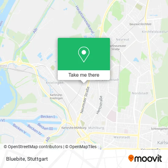
See Bluebite, Stuttgart, on the map
Public Transit to Bluebite in Stuttgart
Wondering how to get to Bluebite in Stuttgart? Moovit helps you find the best way to get to Bluebite with step-by-step directions from the nearest public transit station.
Moovit provides free maps and live directions to help you navigate through your city. View schedules, routes, timetables, and find out how long does it take to get to Bluebite in real time.
Looking for the nearest stop or station to Bluebite? Check out this list of stops closest to your destination: Karlsruhe Binger Straße Bstg B; Karlsruhe Binger Straße; Karlsruhe Neureuter Straße; Karlsruhe Berliner Straße; Knielingen Siemensallee Gleis 2.
Train: RB51, S1, S11, S53, 2, E.Light Rail: 2.Bus: 62, 70, 74, NL17, 74, NL17, ALT70, ALT70.
Want to see if there’s another route that gets you there at an earlier time? Moovit helps you find alternative routes or times. Get directions from and directions to Bluebite easily from the Moovit App or Website.
We make riding to Bluebite easy, which is why over 1.5 million users, including users in Stuttgart, trust Moovit as the best app for public transit. You don’t need to download an individual bus app or train app, Moovit is your all-in-one transit app that helps you find the best bus time or train time available.
For information on prices of light rail, bus and train, costs and ride fares to Bluebite, please check the Moovit app.
Use the app to navigate to popular places including to the airport, hospital, stadium, grocery store, mall, coffee shop, school, college, and university.
Bluebite Address: Daimlerstraße 29 Nordweststadt, 76185 Karlsruhe street in Stuttgart
- Tjb Investment Holding,
- Courito,
- Mycabsy,
- Büge Fliesenverlegung,
- Malerbetrieb Peter Welker,
- Mp Metallbau,
- Netcup Gmbh,
- Anexia Managed Services,
- Munichmetal,
- Oliver Presch,
- Rudolf Pfannenstiel,
- Mathias Kohrt,
- Baustelle 4u.,
- Werner Goris,
- Robert Payer,
- Dr. Michael J. Kausch,
- Buybyone,
- Olaf Fiedler,
- Fondels Mühle,
- Nixon Casimir
Places Near Bluebite (Stuttgart)
- Im Wizemann (Halle), Bad Cannstatt,
- Hanns-Martin-Schleyer-Halle (Stuttgart Hans-Martin-Schleyerhalle), Bad Cannstatt,
- FlixBus Haltestelle, Stuttgart,
- Mettingen Eros-Center Puff Laufhaus, Esslingen Am Neckar,
- Wilhelma (U-Bahn Wilhelma), Bad Cannstatt,
- Gasometer Pforzheim, Pforzheim,
- Porsche-Arena, Bad Cannstatt,
- SI-Centrum, Möhringen,
- Geilhaus Haus 33a, Reutlingen-Betzingen,
- Pariser Platz Stuttgart, Stuttgart-Mitte,
- Waldfriedhof, Degerloch,
- Schleyerhalle, Bad Cannstatt,
- Marmorsaal Im Weissenburgpark, Stuttgart-Süd,
- Mercedes-Benz Museum (Mercedes Museum Stuttgart), Bad Cannstatt,
- Mercedes-Benz Museum, Bad Cannstatt,
- Hauptbahnhof Stuttgart, Stuttgart-Mitte,
- Gleis 101/102 (tief), Stuttgart-Mitte,
- Klinikum Stuttgart - Katharinenhospital, Stuttgart-Mitte,
- Porsche Museum, Zuffenhausen,
- Hanns-Martin-Schleyer-Halle, Bad Cannstatt
How to get to popular places in Stuttgart with public transit
Get around Stuttgart by public transit!
Traveling around Stuttgart has never been so easy. See step by step directions as you travel to any attraction, street or major public transit station. View bus and train schedules, arrival times, service alerts and detailed routes on a map, so you know exactly how to get to anywhere in Stuttgart.
When traveling to any destination around Stuttgart use Moovit's Live Directions with Get Off Notifications to know exactly where and how far to walk, how long to wait for your line, and how many stops are left. Moovit will alert you when it's time to get off — no need to constantly re-check whether yours is the next stop.
Wondering how to use public transit in Stuttgart or how to pay for public transit in Stuttgart? Moovit public transit app can help you navigate your way with public transit easily, and at minimum cost. It includes public transit fees, ticket prices, and costs. Looking for a map of Stuttgart public transit lines? Moovit public transit app shows all public transit maps in Stuttgart with all Bus, Train, Subway, Light Rail, Ferry, S-Bahn and Funicular routes and stops on an interactive map.
Stuttgart has 7 transit type(s), including: Bus, Train, Subway, Light Rail, Ferry, S-Bahn and Funicular, operated by several transit agencies, including SSB - Stadtbahn, SSB, SSB - Seilbahn / Zacke, S-Bahn Stuttgart, Rhein-Neckar-Verkehr GmbH (rnv), Karlsruher Verkehrsverbund, DB AG, DB Regiobus BW, Arverio Baden-Württemberg GmbH, DB RegioNetz Verkehrs GmbH Westfrankenbahn, DB Regio AG Baden-Württemberg, Südwestdeutsche Verkehrs-AG, DB Regio AG Mitte Region Hessen, DB and Bodensee-Oberschwaben-Bahn