How to get to Boksberi by bus?
Click on the bus route to see step by step directions with maps, line arrival times and updated time schedules.
From 140A Startseva Street, Sverdlovsk District
44 minFrom Snipers Street, Industrial District
25 minFrom Gagarin Boulevard 66, Motovilikhinsky District
47 minFrom Kholmogorskaya 4v, Sverdlovsk District
39 minFrom Odessa, Leninsky District
51 minFrom Buksir Street, Kirovsky District
35 minFrom Zaporozhskaya 7, Sverdlovsk District
51 minFrom Chernyshevsky 15 V, Sverdlovsk District
45 minFrom Khabarovskaya 66, Dzerzhinsky District
44 minFrom Egoshikhinskoye Cemetery, Sverdlovsk District
60 min
Which bus lines stop near Boksberi?
These bus lines stop near Boksberi: 13, 54, 80.
Which tram lines stop near Boksberi?
These tram lines stop near Boksberi: 12, 2.
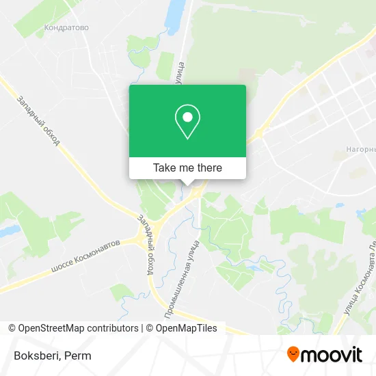
See Boksberi, Industrial District, on the map
Public Transit to Boksberi in Industrial District
Wondering how to get to Boksberi in Industrial District? Moovit helps you find the best way to get to Boksberi with step-by-step directions from the nearest public transit station.
Moovit provides free maps and live directions to help you navigate through your city. View schedules, routes, timetables, and find out how long does it take to get to Boksberi in real time.
Bus: 13, 54, 80.Tram: 12, 2.
Want to see if there’s another route that gets you there at an earlier time? Moovit helps you find alternative routes or times. Get directions from and directions to Boksberi easily from the Moovit App or Website.
We make riding to Boksberi easy, which is why over 1.5 million users, including users in Industrial District, trust Moovit as the best app for public transit. You don’t need to download an individual bus app or train app, Moovit is your all-in-one transit app that helps you find the best bus time or train time available.
For information on prices of bus and tram, costs and ride fares to Boksberi, please check the Moovit app.
Use the app to navigate to popular places including to the airport, hospital, stadium, grocery store, mall, coffee shop, school, college, and university.
Boksberi Address: Boksberi, Оверятская улица 40, Пермь, Россия, 614065 street in Industrial District
- House of Clothing and Shoes,
- Ip Khokimov S.O.,
- Coin,
- Dishes - Center, Home Goods Store,
- Anita LLC,
- Pyrotechnics 1,
- Absolute Bank,
- Babyum,
- Goncharnaya Lavka,
- Ip Neklyudov N. N.,
- Overyatskaya Street, 40,
- Ring Shopping Center,
- Citylink Perm,
- Dishes Center,
- Boxberry,
- Super-Lotto-Market,
- VTB,
- 40 Overyatskaya Street,
- AutoMasterGaz,
- Termolife
Places Near Boksberi (Industrial District)
- Drunk Road, Industrial District,
- Garden of Nightingales, Motovilikhinsky District,
- Perm Zoo, Kirovsky District,
- Lodygina Street, 10, Sverdlovsk District,
- Perm Powder Factory, Kirovsky District,
- City Clinical Hospital No. 4, Motovilikhinsky District,
- Yursha Street, 9, Motovilikhinsky District,
- Soldatov Cultural Center, Sverdlovsk District,
- Mira 102, Industrial District,
- Perm Powder Factory, Kirovsky District,
- AUCHAN Shopping Center, Leninsky District,
- Flea Market, Dzerzhinsky District,
- Perm Zoo, Leninsky District,
- Kim 64, Motovilikhinsky District,
- KIM Street, 2, Motovilikhinsky District,
- TRK "Stolica", Industrial District,
- New Perm Zoo Territory, Industrial District,
- 14 Klara Zetkin Street, Sverdlovsk District,
- Baumana 15, Industrial District,
- Zakamsk, Kirovsky District
How to get to popular places in Perm with public transit
Get around Industrial District by public transit!
Traveling around Industrial District has never been so easy. See step by step directions as you travel to any attraction, street or major public transit station. View bus and train schedules, arrival times, service alerts and detailed routes on a map, so you know exactly how to get to anywhere in Industrial District.
When traveling to any destination around Industrial District use Moovit's Live Directions with Get Off Notifications to know exactly where and how far to walk, how long to wait for your line, and how many stops are left. Moovit will alert you when it's time to get off — no need to constantly re-check whether yours is the next stop.
Wondering how to use public transit in Industrial District or how to pay for public transit in Industrial District? Moovit public transit app can help you navigate your way with public transit easily, and at minimum cost. It includes public transit fees, ticket prices, and costs. Looking for a map of Industrial District public transit lines? Moovit public transit app shows all public transit maps in Industrial District with all Bus, Tram and Shuttle routes and stops on an interactive map.
Perm has 3 transit type(s), including: Bus, Tram and Shuttle, operated by several transit agencies, including GorTrans Perm and Minibuses