How to get to Boneteria Mayte by bus?
Click on the bus route to see step by step directions with maps, line arrival times and updated time schedules.
From Parque Industrial Siglo XXI, Aguascalientes
46 minFrom Calle Malaga, Aguascalientes
34 minFrom Col. Los Arellano, Aguascalientes
45 minFrom Cortijo San Marcos, Aguascalientes
60 minFrom Los Laureles II, Aguascalientes
47 minFrom Maravillas, Jesus Maria, Aguascalientes
31 minFrom Parque Municipal (Ex-pensión), Aguascalientes
31 min
Bus stops near Boneteria Mayte in Aguascalientes
Bus lines to Boneteria Mayte in Aguascalientes
- RUTA 01, Vicente Guerrero - Margaritas,VIEW
- RUTA 05, Vicente Guerrero - La Ribera,VIEW
- RUTA 08, UTMA - Centro (Rivero y Gutiérrez),VIEW
- RUTA 09, Cumbres III - Mahatma Gandhi,VIEW
- RUTA 09, Mahatma Gandhi - Los Laureles,VIEW
- RUTA 34, Villa Montaña - UPA,VIEW
- RUTA 37, Utma,VIEW
- RUTA 02, Centro (Jardín Carpio),VIEW
- RUTA 03, La Ribera,VIEW
- RUTA 47, Clínica 10,VIEW
- RUTA 04, Mahatma Gandhi - Jesús María,VIEW
- RUTA 06, Jesús María - Mahatma Gandhi,VIEW
- RUTA 10, UAA Sur - Paseos de Aguascalientes,VIEW
- RUTA 11, Mahatma Gandhi - Chichimeco,VIEW
- RUTA 38, Vicente Guerrero - Paso Blanco,VIEW
What are the closest stations to Boneteria Mayte?
The closest stations to Boneteria Mayte are:
- Petróleos Mexicanos, 326 is 336 meters away, 5 min walk.
- Petróleos Mexicanos, 215 is 342 meters away, 5 min walk.
- Centro (Jardín Carpio) is 364 meters away, 5 min walk.
- 5 De Mayo, 93 is 377 meters away, 5 min walk.
- Marina Nacional, 412 is 386 meters away, 6 min walk.
- México, 305 is 442 meters away, 6 min walk.
Which bus lines stop near Boneteria Mayte?
These bus lines stop near Boneteria Mayte: RUTA 04, RUTA 06, RUTA 09, RUTA 10.
What’s the nearest bus station to Boneteria Mayte in Aguascalientes?
The nearest bus stations to Boneteria Mayte in Aguascalientes are Petróleos Mexicanos, 326, Petróleos Mexicanos, 215, Centro (Jardín Carpio) and 5 De Mayo, 93. The closest one is a 5 min walk away.
What time is the first bus to Boneteria Mayte in Aguascalientes?
The RUTA 08 is the first bus that goes to Boneteria Mayte in Aguascalientes. It stops nearby at 6:12 AM.
What time is the last bus to Boneteria Mayte in Aguascalientes?
The RUTA 02 is the last bus that goes to Boneteria Mayte in Aguascalientes. It stops nearby at 10:26 PM.
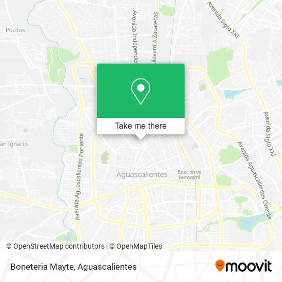
See Boneteria Mayte, Aguascalientes, on the map
Public Transit to Boneteria Mayte in Aguascalientes
Wondering how to get to Boneteria Mayte in Aguascalientes? Moovit helps you find the best way to get to Boneteria Mayte with step-by-step directions from the nearest public transit station.
Moovit provides free maps and live directions to help you navigate through your city. View schedules, routes, timetables, and find out how long does it take to get to Boneteria Mayte in real time.
Looking for the nearest stop or station to Boneteria Mayte? Check out this list of stops closest to your destination: Petróleos Mexicanos; Petróleos Mexicanos; Centro (Jardín Carpio); 5 De Mayo; Marina Nacional; México.
Bus: RUTA 04, RUTA 06, RUTA 09, RUTA 10, RUTA 01, RUTA 05, RUTA 08, RUTA 37, RUTA 02, RUTA 03, RUTA 47, RUTA 11, RUTA 38.
Want to see if there’s another route that gets you there at an earlier time? Moovit helps you find alternative routes or times. Get directions from and directions to Boneteria Mayte easily from the Moovit App or Website.
We make riding to Boneteria Mayte easy, which is why over 1.5 million users, including users in Aguascalientes, trust Moovit as the best app for public transit. You don’t need to download an individual bus app or train app, Moovit is your all-in-one transit app that helps you find the best bus time or train time available.
For information on prices of bus, costs and ride fares to Boneteria Mayte, please check the Moovit app.
Use the app to navigate to popular places including to the airport, hospital, stadium, grocery store, mall, coffee shop, school, college, and university.
Boneteria Mayte Address: Calle General Ignacio Zaragoza 1031, Condominio Bugambilias, 20050 Aguascalientes, Aguascalientes street in Aguascalientes
- Súper Issste,
- Mr. Bass,
- Los Carboneros Carne Asada y Hamburguesas al Carbón,
- Casther,
- Pinturas Ortiz,
- Pintu Sayer,
- Blue Ribbon,
- Multimoda Tienda de Ropa,
- Clínica Dental de Alta Especialidad,
- Tavah.Eltaquitovegetariano,
- Pinturas Prisa,
- Secundaria general 17,
- Escuela Secundaria Gral No. 17,
- Pollos Rostizados y Asados El Pollo Guizado,
- Pinturas Green Tree,
- Refacciones para Motocicletas,
- Devil's Grill,
- Vino Licores y Cerveza,
- Molino y Tortilleria Express,
- Cooperativa de la Secundaria Número 17
Places Near Boneteria Mayte (Aguascalientes)
- Centro, Aguascalientes,
- Universidad Autónoma de Aguascalientes, Aguascalientes,
- Isla San Marcos, Aguascalientes,
- Imss Clinica 1, Aguascalientes,
- Central De Autobuses, Aguascalientes,
- Ciudad industrial, Aguascalientes,
- Blvd. Luis Donaldo Colosio, Aguascalientes,
- Hospital Imss No. 3, Aguascalientes,
- Agropecuario, Aguascalientes,
- Centro Comercial Altaria, Aguascalientes,
- Parque Las Tres Centurias, Aguascalientes,
- La Isla San Marcos, Aguascalientes,
- Nuevo Hospital Hidalgo, Aguascalientes,
- ESPACIOS, Aguascalientes,
- Terminal De Combis, Aguascalientes,
- clinica 3 uaa, Aguascalientes,
- Aeropuerto de Aguascalientes S.A. de C.V., Aguascalientes,
- Villasuncion, Aguascalientes,
- Jesús María, Aguascalientes,
- Villas de Nuestra Señora de la Asunción, Aguascalientes
How to get to popular places in Aguascalientes with public transit
Get around Aguascalientes by public transit!
Traveling around Aguascalientes has never been so easy. See step by step directions as you travel to any attraction, street or major public transit station. View bus and train schedules, arrival times, service alerts and detailed routes on a map, so you know exactly how to get to anywhere in Aguascalientes.
When traveling to any destination around Aguascalientes use Moovit's Live Directions with Get Off Notifications to know exactly where and how far to walk, how long to wait for your line, and how many stops are left. Moovit will alert you when it's time to get off — no need to constantly re-check whether yours is the next stop.
Wondering how to use public transit in Aguascalientes or how to pay for public transit in Aguascalientes? Moovit public transit app can help you navigate your way with public transit easily, and at minimum cost. It includes public transit fees, ticket prices, and costs. Looking for a map of Aguascalientes public transit lines? Moovit public transit app shows all public transit maps in Aguascalientes with all bus routes and stops on an interactive map.
Aguascalientes has 1 transit type(s), including: bus, operated by several transit agencies, including Coordinación General de Movilidad