How to get to Boost Mobile by bus?
Click on the bus route to see step by step directions with maps, line arrival times and updated time schedules.
From Hilton Baltimore, Baltimore
42 minFrom Baltimore Greyhound Station, Baltimore
39 minFrom National Aquarium-Baltimore, Baltimore
38 minFrom Inner Harbor, Baltimore
35 minFrom NSA Friendship Annex (FANX), Anne Arundel County
75 minFrom Fells Point, Baltimore
48 minFrom Baltimore Marriott Waterfront, Baltimore
47 minFrom Canton, Baltimore
74 minFrom Walmart Supercenter, Baltimore County
45 minFrom National Aquarium, Baltimore
38 min
Bus stop near Boost Mobile in Anne Arundel County
- Ritchie Hwy & Ordnance Rd FS Nb, 2 min walk,VIEW
Light Rail stations near Boost Mobile in Anne Arundel County
- Linthicum, 15 min walk,VIEW
What are the closest stations to Boost Mobile?
The closest stations to Boost Mobile are:
- Ritchie Hwy & Ordnance Rd FS Nb is 144 yards away, 2 min walk.
- Linthicum is 1254 yards away, 15 min walk.
Which bus lines stop near Boost Mobile?
These bus lines stop near Boost Mobile: 69, 70.
What’s the nearest light rail station to Boost Mobile in Anne Arundel County?
The nearest light rail station to Boost Mobile in Anne Arundel County is Linthicum. It’s a 15 min walk away.
What’s the nearest bus station to Boost Mobile in Anne Arundel County?
The nearest bus station to Boost Mobile in Anne Arundel County is Ritchie Hwy & Ordnance Rd FS Nb. It’s a 2 min walk away.
What time is the first light rail to Boost Mobile in Anne Arundel County?
The LIGHT RAILLINK is the first light rail that goes to Boost Mobile in Anne Arundel County. It stops nearby at 4:32 AM.
What time is the last light rail to Boost Mobile in Anne Arundel County?
The LIGHT RAILLINK is the last light rail that goes to Boost Mobile in Anne Arundel County. It stops nearby at 12:48 AM.
What time is the first bus to Boost Mobile in Anne Arundel County?
The 70 is the first bus that goes to Boost Mobile in Anne Arundel County. It stops nearby at 5:12 AM.
What time is the last bus to Boost Mobile in Anne Arundel County?
The 69 is the last bus that goes to Boost Mobile in Anne Arundel County. It stops nearby at 2:34 AM.
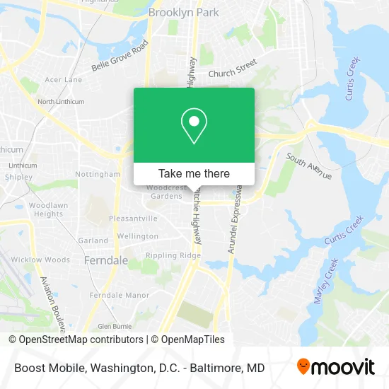
See Boost Mobile, Anne Arundel County, on the map
Public Transit to Boost Mobile in Anne Arundel County
Wondering how to get to Boost Mobile in Anne Arundel County? Moovit helps you find the best way to get to Boost Mobile with step-by-step directions from the nearest public transit station.
Moovit provides free maps and live directions to help you navigate through your city. View schedules, routes, timetables, and find out how long does it take to get to Boost Mobile in real time.
Looking for the nearest stop or station to Boost Mobile? Check out this list of stops closest to your destination: Ritchie Hwy & Ordnance Rd FS Nb; Linthicum.
Bus: 69, 70.
Want to see if there’s another route that gets you there at an earlier time? Moovit helps you find alternative routes or times. Get directions from and directions to Boost Mobile easily from the Moovit App or Website.
We make riding to Boost Mobile easy, which is why over 1.5 million users, including users in Anne Arundel County, trust Moovit as the best app for public transit. You don’t need to download an individual bus app or train app, Moovit is your all-in-one transit app that helps you find the best bus time or train time available.
For information on prices of bus and light rail, costs and ride fares to Boost Mobile, please check the Moovit app.
Use the app to navigate to popular places including to the airport, hospital, stadium, grocery store, mall, coffee shop, school, college, and university.
Boost Mobile Address: 6632 Ritchie Hwy Glen Burnie, MD 21061 street in Anne Arundel County
- Coinstar,
- Coinstar - Bitcoin ATM,
- Ross Dress For Less,
- STARBUCKS,
- Pasqually's Pizza & Wings,
- Chem-Dry,
- Panera Bread,
- Ecco,
- Wilson Professional Long Distance Moving,
- Bob's Discount Furniture and Mattress Store,
- Maytag Factory Certified Appliance Repair,
- Office Depot,
- Ray's Mva Cafeteria,
- Dave's Hot Chicken,
- Ritchie Hwy & Mva NB,
- MVA Glen Burnie,
- Minute Key,
- Network A Locksmith,
- Nationwide Insurance,
- Gavigans
Places Near Boost Mobile (Anne Arundel County)
- Amazon Hq2, Arlington County,
- Pennsylvania Ave NW (3rd st and pennsylvania), Washington,
- PG Mall, Prince George's County,
- Sibley Memorial Hospital, Washington,
- Washington National Cathedral, Washington,
- Museum Of The Bible, Washington,
- National Museum of African American History and Culture, Washington,
- The Anthem, Washington,
- Washington DC VA Medical Center, Washington,
- Westfield Montgomery Mall, Montgomery County,
- Rock Creek Tennis Center, Washington,
- Basilica of the National Shrine, Washington,
- M&T Bank Stadium, Baltimore,
- Capital One Arena, Washington,
- Georgetown, Washington,
- National Zoo, Washington,
- Camden Yards, Baltimore,
- Warner Theatre, Washington,
- Marriott Marquis Washington, DC, Washington,
- National Mall, Washington
How to get to popular places in Washington, D.C. - Baltimore, MD with public transit
Get around Anne Arundel County by public transit!
Traveling around Anne Arundel County has never been so easy. See step by step directions as you travel to any attraction, street or major public transit station. View bus and train schedules, arrival times, service alerts and detailed routes on a map, so you know exactly how to get to anywhere in Anne Arundel County.
When traveling to any destination around Anne Arundel County use Moovit's Live Directions with Get Off Notifications to know exactly where and how far to walk, how long to wait for your line, and how many stops are left. Moovit will alert you when it's time to get off — no need to constantly re-check whether yours is the next stop.
Wondering how to use public transit in Anne Arundel County or how to pay for public transit in Anne Arundel County? Moovit public transit app can help you navigate your way with public transit easily, and at minimum cost. It includes public transit fees, ticket prices, and costs. Looking for a map of Anne Arundel County public transit lines? Moovit public transit app shows all public transit maps in Anne Arundel County with all Bus, Train, Metro, Light Rail and Ferry routes and stops on an interactive map.
Washington, D.C. - Baltimore, MD has 5 transit type(s), including: Bus, Train, Metro, Light Rail and Ferry, operated by several transit agencies, including WMATA, Montgomery County Ride On, Fairfax Connector, TheBus, PRTC, DASH - Alexandria, Arlington Transit (ART), RTA of Central Maryland, MDOT MTA, MDOT MTA Light RailLink, MDOT MTA Commuter Bus, MDOT MTA Local Bus, FXBGO!, Virginia Railway Express (VRE) and MARC